Bottom left hero backgroundTop right hero background

Best ArcGIS freelancers to hire in 2025

Looking to hire ArcGIS freelancers for your next project? Browse the world’s best ArcGIS freelancers on Contra.

Trusted by 50K+ teams from creative agencies to high growth tech companies

Logo for Wix StudioLogo for RiveLogo for WebstudioLogo for GlorifyLogo for JitterLogo for FlutterFlowLogo for PeachWebLogo for CanvaLogo for Lottie FilesLogo for Workshop BuiltLogo for BuildshipLogo for AppsumoLogo for FramerLogo for BarrelLogo for BubbleLogo for LummiLogo for WebflowLogo for GrayscaleLogo for Stride UXLogo for InstantLogo for SplineLogo for KittlLogo for RelumeLogo for HeyGenLogo for Replo
FAQs

How important is it for an ArcGIS expert to understand my industry?

An understanding of your industry helps them tailor solutions. They will know common challenges and needs. This makes their insights more effective and relevant for your goals.

What deliverables should I expect from an ArcGIS project?

Expect clear maps, reports, or data sets pertinent to your project needs. Discuss these beforehand to align expectations. This ensures both parties know what needs to be done.

How should I communicate with the ArcGIS expert during the project?

Set clear communication methods at the start. Decide if you will use emails, calls, or chat. Regular check-ins help ensure everything stays on track and any issues are resolved quickly.

What technical skills should I confirm the ArcGIS expert has?

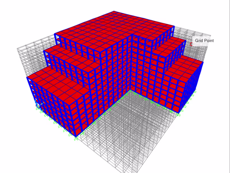
They should know the latest ArcGIS software tools. Skills in spatial analysis, data management, and geoprocessing are key. This ensures they can handle all parts of your project.

How can I ensure the expert understands my project vision?

Present a clear project outline. Discuss your vision and end goals early on. This ensures they can align their work with your expectations.

What should I include in the project contract with the ArcGIS expert?

Include project scope, deadlines, and deliverables in the contract. Clear payment terms and any necessary confidentiality agreements should also be outlined. This provides structure and protects both parties.

How can I outline my project needs when hiring an ArcGIS expert?

First, identify the goals of your project. Do you need maps, analysis, or data management? Be clear about your timeline and expectations. This helps the expert understand exactly what you need.

What details about my data should I share with an ArcGIS expert?

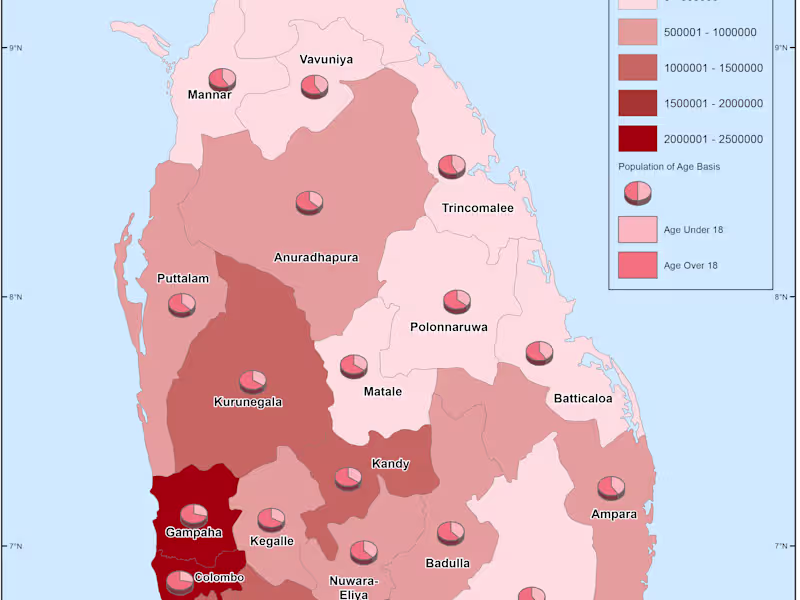
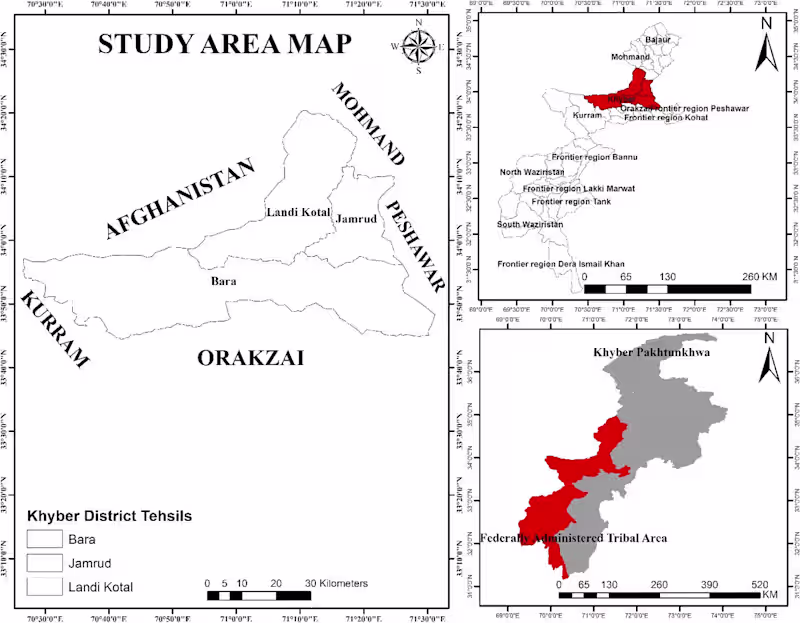
Tell them about the type of data you have. Is it geographic, demographic, or environmental? Also, mention if your data is complete or if there are gaps. This helps the expert plan better for you.

What should I look for in the ArcGIS expert's portfolio?

Check for projects similar to yours. Look at the complexity of past work they have done. This shows if they have the right skills for your needs.

How do I ensure the expert can meet my project deadlines?

Discuss time management with them. Ask about their current workload. Seeing a plan for your project timeline can show how they will meet your deadlines.

Who is Contra for?

Contra is designed for both freelancers (referred to as "independents") and clients. Freelancers can showcase their work, connect with clients, and manage projects commission-free. Clients can discover and hire top freelance talent for their projects.

What is the vision of Contra?

Contra aims to revolutionize the world of work by providing an all-in-one platform that empowers freelancers and clients to connect and collaborate seamlessly, eliminating traditional barriers and commission fees.

Profile avatar
Kostas Karalidis
Greece
Cover image for Deep Learning Method for forest fire detection and simulation of
Cover image for A Scenario-Based Analysis for the Selection of Post-Mining Land…
Cover image for Remote Sensing Data and Indices to Support Water Management: A …
Cover image for Spatial Data Analysis for Urban Planning
Profile avatar
Peter B.
Biłgoraj County, Poland
Cover image for Properties for sale - Web Dashboard for Clients
Cover image for Spatial Parcels Database
Cover image for RED Labs - Spatial Platform for Real Estate
Cover image for NYC Zoning Web map
Profile avatar
FELIX OMOLO
Nairobi, Kenya
Cover image for Supervised Land Classification of Kisumu, Kenya using GEE
Cover image for Smart Power Outage Management Systems Using GIS
Cover image for NDBI of Nairobi City, Kenya
Cover image for Flood Risk Assessment in Refugee Camp Using QGIS
Profile avatar
Evan ONeil
Houston, USA
Cover image for Intuitive and Impactful Custom Air Monitoring Dashboard
Cover image for Data analysis and Map-based Storytelling for 'The Houston Arrow'
Cover image for Tennis Analysis Infographic
Placeholder project card media
View more →
Profile avatar
Pavel Nefir
Bucharest, Romania
1x
Hired
5.0
Rating
3
Followers
Cover image for GPS Tracking Platform – Real-Time Vehicle & Fleet Management
Cover image for Zapackbags - Custom Cannabis Packaging Solutions
Cover image for External Trade Data Platform for the Arab Region
Cover image for VC Map - Virtual City System

Explore ArcGIS projects on Contra

Cover image for Integrated Plant Health Information System
0
36
Cover image for I will design structures in etabs and sap2000
0
16
Cover image for I will draw architectural plans in autocad 2d
0
7
Cover image for I will create logo design
0
2
Cover image for I will create gis map, vector map, do spatial analysis
0
4
Cover image for Identification of irrigation potential areas, using multi-crite…
0
1
Cover image for Remote Sensing Data and Indices to Support Water Management: A …
0
2
Cover image for A Scenario-Based Analysis for the Selection of Post-Mining Land…
0
5
Cover image for Deep Learning Method for forest fire detection and simulation of
1
11
Cover image for Marine Spatial Planning Consulting
0
1
Cover image for Supnav
0
20
Cover image for Nakasatien Research and Rehabilitation Center
0
3
Cover image for ArcGIS Automation for Reporting
0
0
Cover image for NYC Zoning Web map
0
18
Cover image for RED Labs - Spatial Platform for Real Estate
0
4
Cover image for Spatial Parcels Database
0
20
Cover image for Properties for sale - Web Dashboard for Clients
0
5
Cover image for Spatial Analysis of 1770 Ship Voyages: A Historical Voyage Compa
0
1
Cover image for Geospatial Analysis and 3D Visualization of the 2014 Oso Mudslid
0
2
Cover image for WPF Urban Analysis app
0
2
Cover image for VC Map - Virtual City System
3
6

Top services from ArcGIS freelancers on Contra

Top locations for ArcGIS freelancers

Join 50k+ companies and 1M+ independents

Contra Logo

© 2025 Contra.Work Inc