Supervised Land Classification of Kisumu, Kenya using GEE
FELIX OMOLO
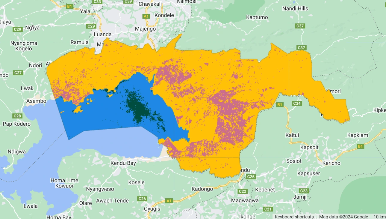
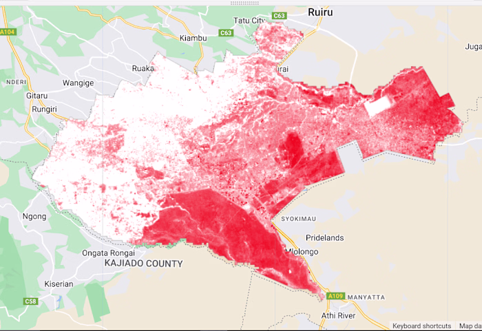
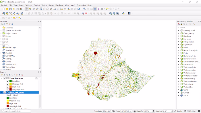
Using Google Earth Engine, I conducted a supervised land classification of Kisumu, Kenya. This project involved training a machine learning model to categorize land cover types like urban areas, vegetation, water bodies, and agriculture.
The resulting classification map provides insights into land use patterns, supporting urban planning and environmental management efforts in the region.
Like this project
Posted Aug 2, 2024
Using Google Earth Engine, I classified land in Kisumu, Kenya, identifying urban, vegetation, and water areas, aiding in planning and resource management.
Likes
0
Views
26
Tags