Flood Risk Assessment in Refugee Camp Using QGIS
FELIX OMOLO
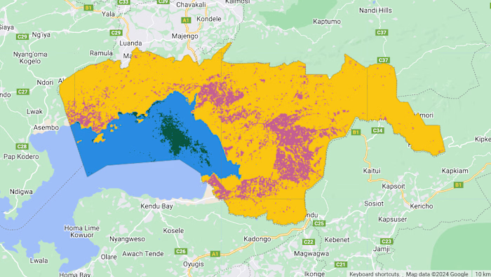
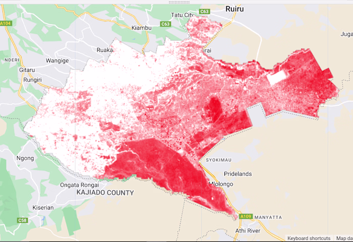
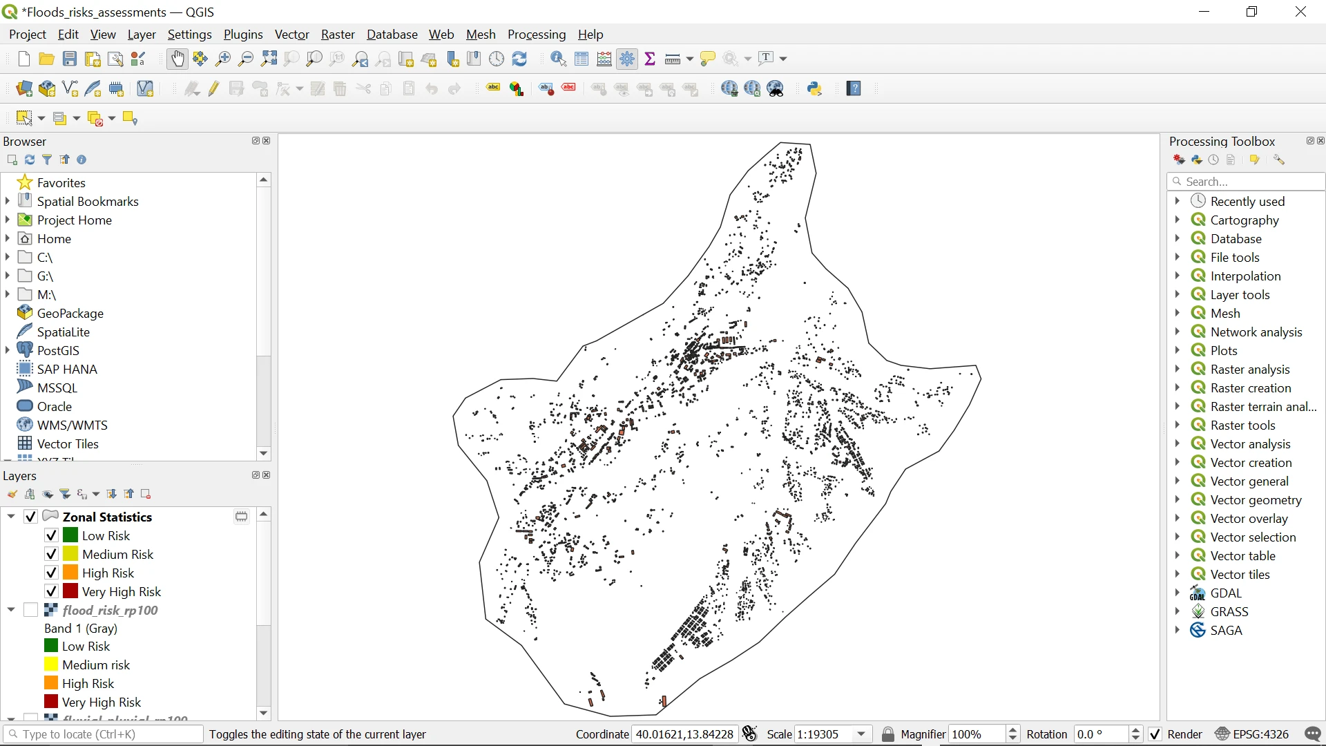
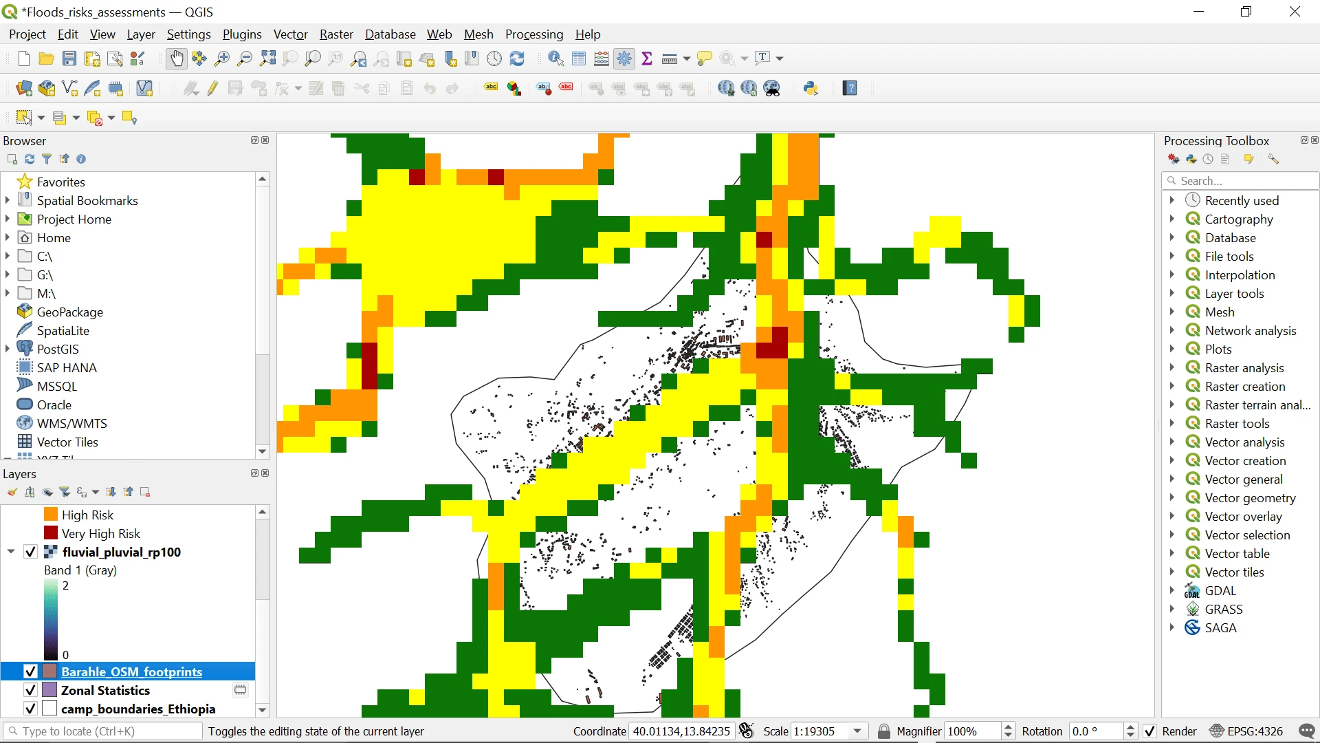
I conducted an in-depth analysis of flood risk in refugee camps in Ethiopia using QGIS. The project involved two key tasks: a national flood exposure assessment across 24 camps and a detailed risk analysis within a specific camp.
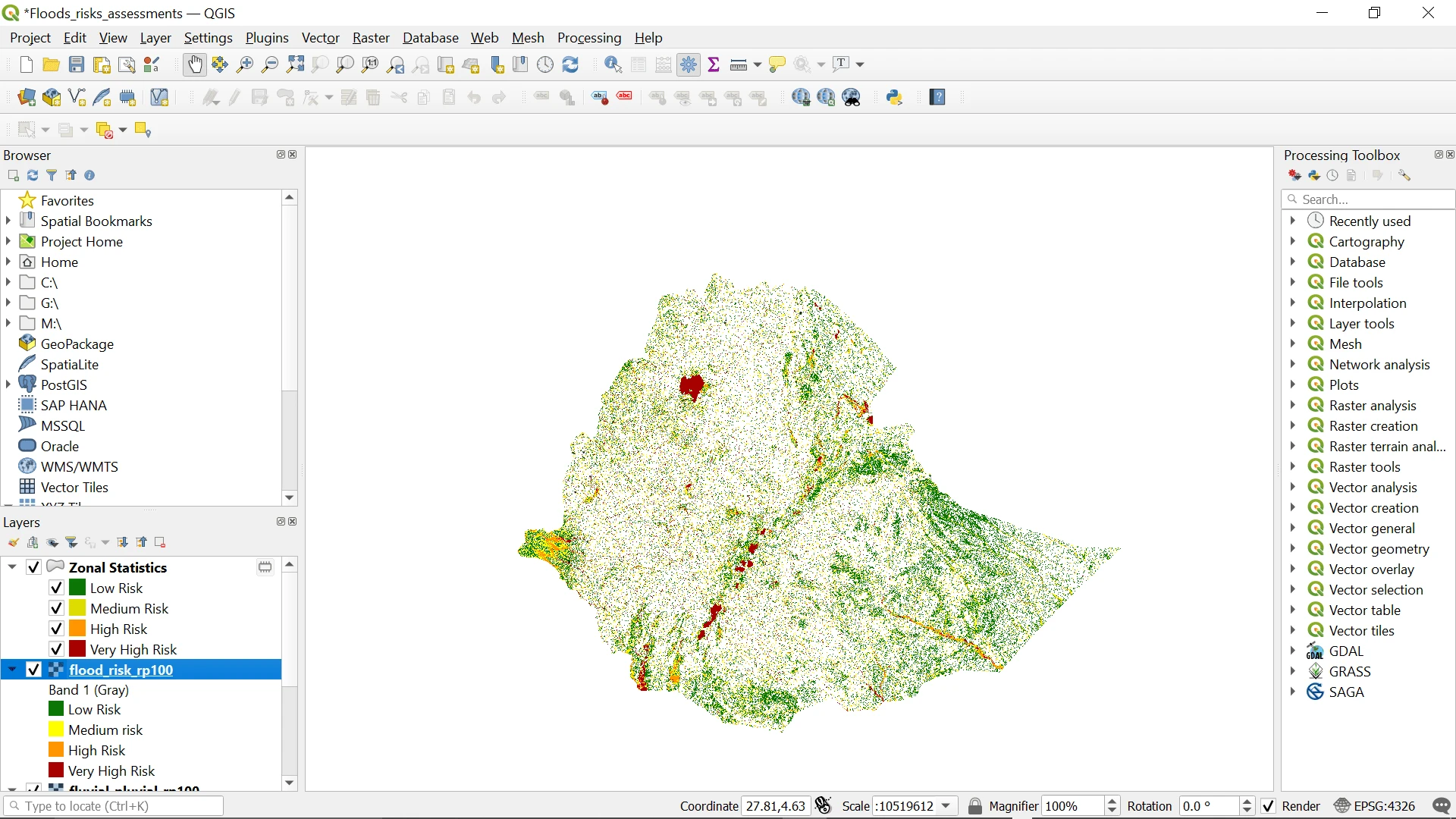
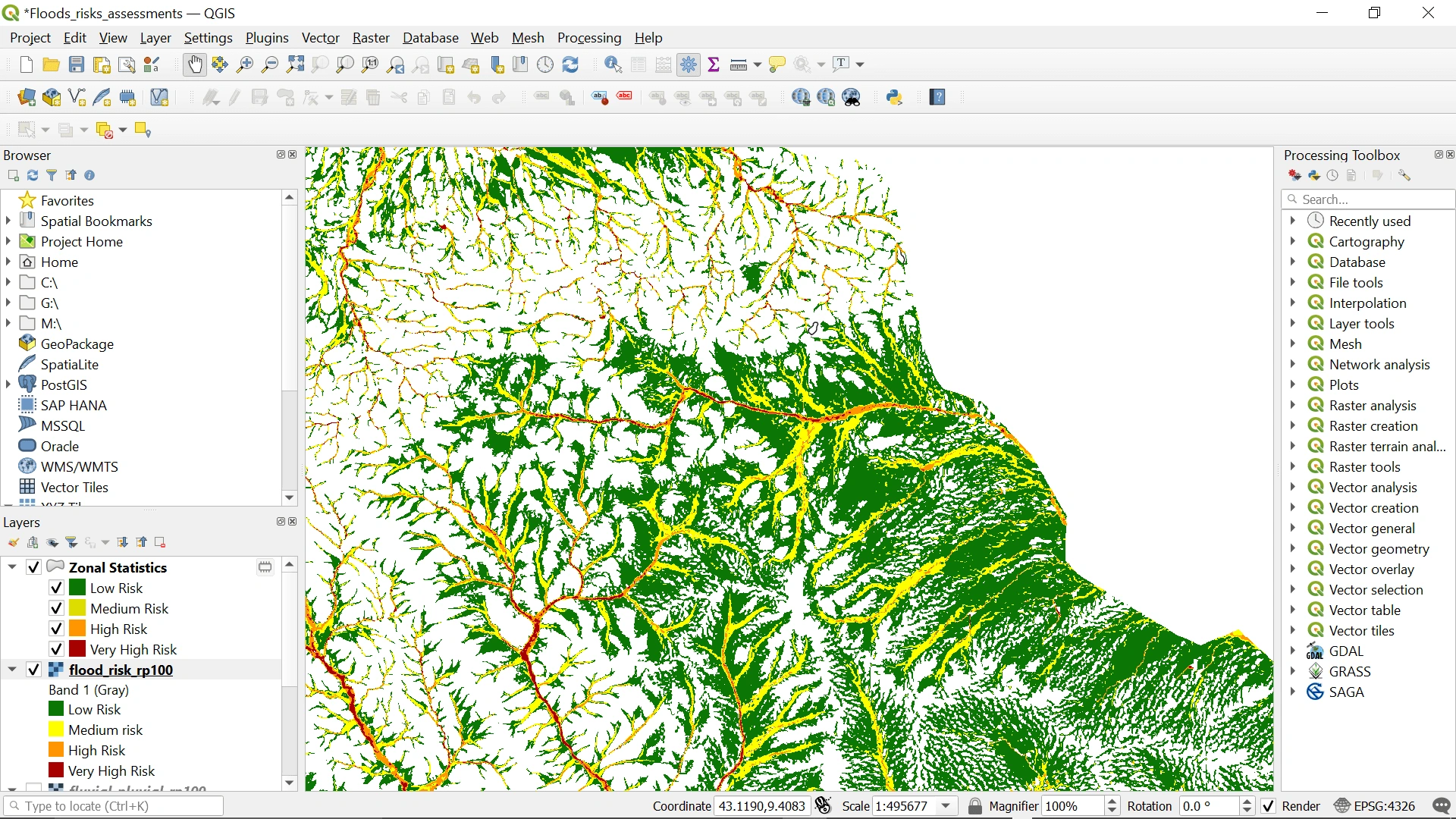
I utilized GIS data to identify camps most at risk, applied zonal statistics to calculate flood exposure, and integrated building footprint data with flood depth maps to assess the vulnerability of individual structures.
This analysis provided insights into flood risk management, supporting better planning and decision-making for humanitarian efforts.
Like this project
Posted Aug 2, 2024
Felix used QGIS to assess flood risk in Ethiopian refugee camps, showcasing his skill in geospatial analysis and data-driven disaster management.
Likes
1
Views
22