
Georeferencing and Digitations winsten steve
Consultation services regarding mapping modules
What's included
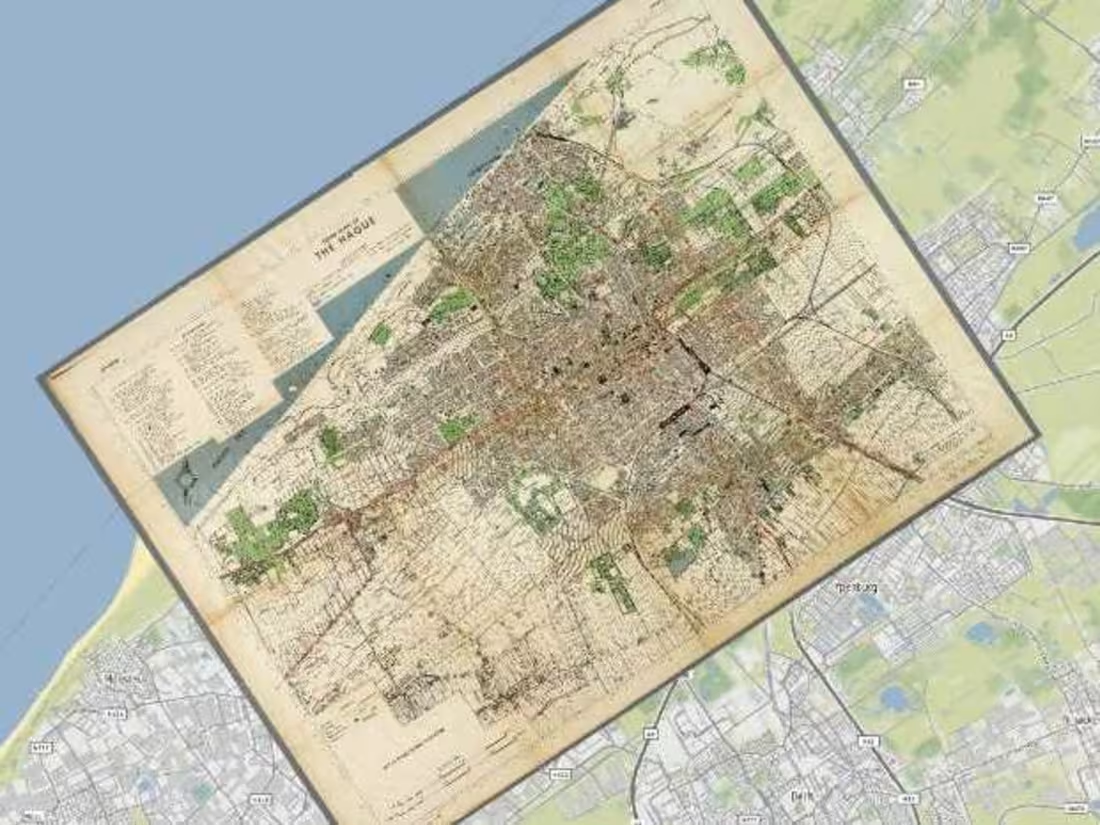
Georeferencing
Custom coordinate system of a digital map or aerial photo can be related to a ground system of geographic coordinates
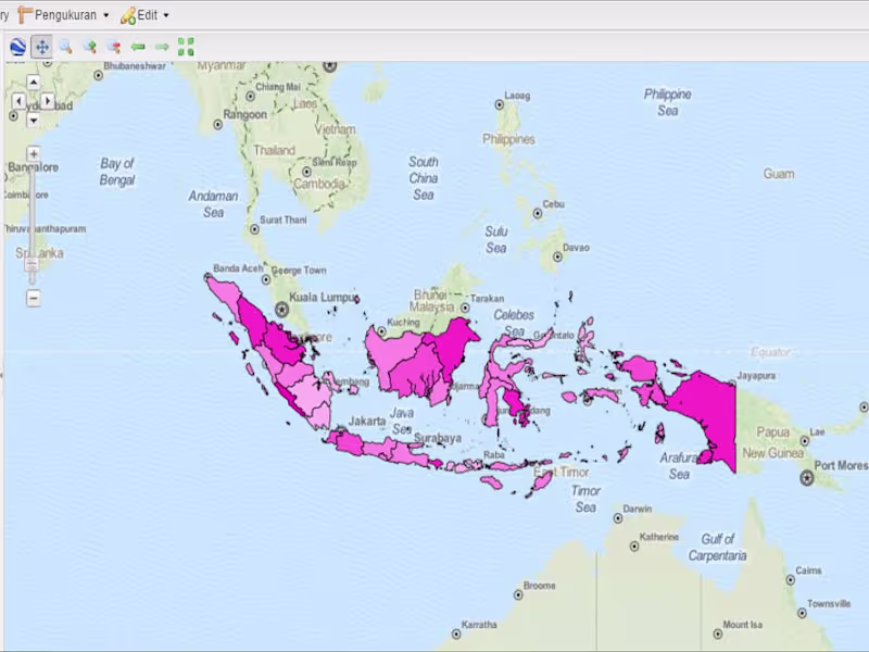
Digitation
Process of converting geographic features on a paper map into digital format
Create Algorithm
Create Animation algorithm for coordinate movement on map canvas
winsten's other services
Contact for pricing
Tags
AutoCAD
QGIS
Data Analyst
Data Visualizer
Service provided by
winsten steve Makassar, Indonesia
- 1
- Followers
Georeferencing and Digitations winsten steve
Contact for pricing
Tags
AutoCAD
QGIS
Data Analyst
Data Visualizer
Consultation services regarding mapping modules
What's included
Georeferencing
Custom coordinate system of a digital map or aerial photo can be related to a ground system of geographic coordinates
Digitation
Process of converting geographic features on a paper map into digital format
Create Algorithm
Create Animation algorithm for coordinate movement on map canvas
winsten's other services
Contact for pricing