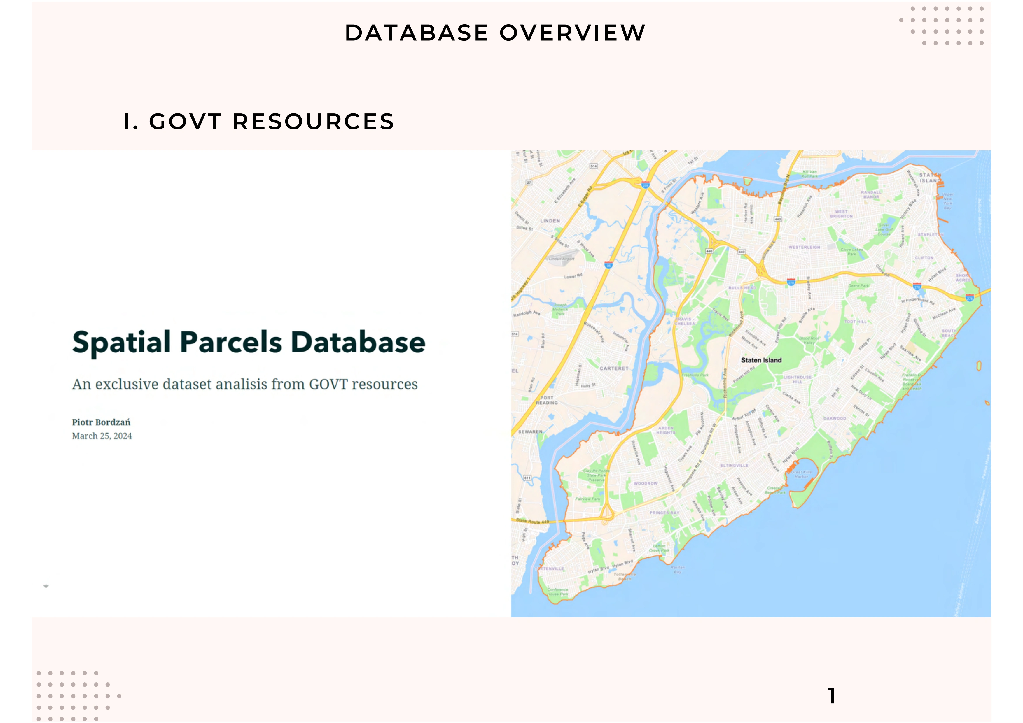
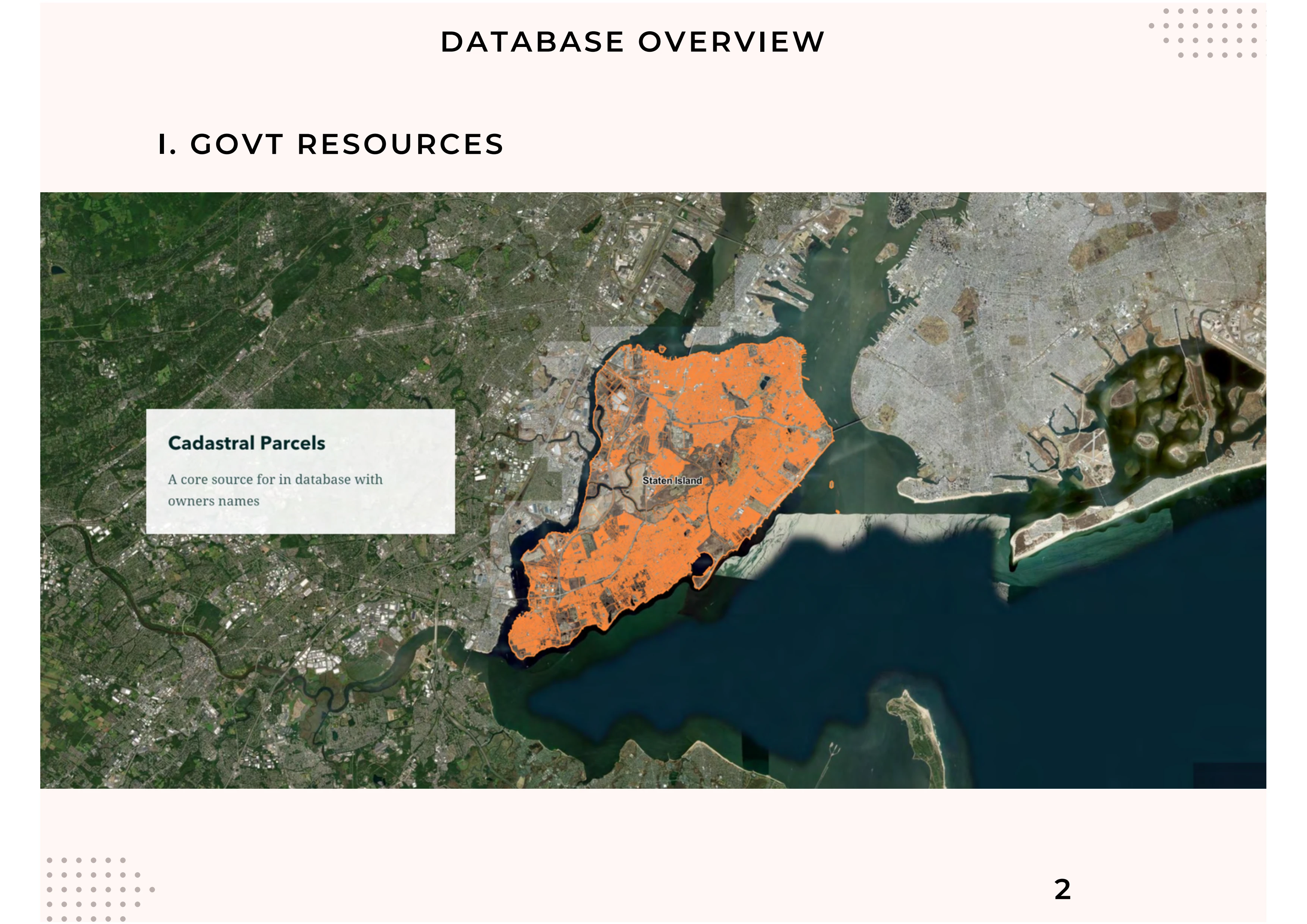
Spatial Parcels Database
Peter B.
Loading this content connects you to YouTube.
YouTube privacy informationSolution
Project goal
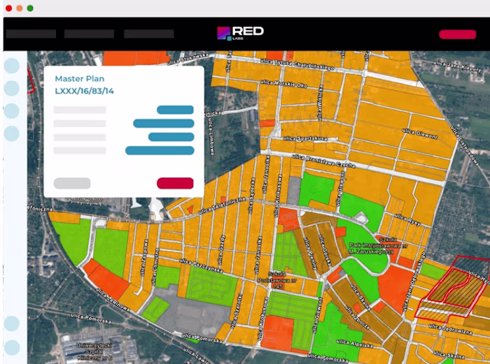
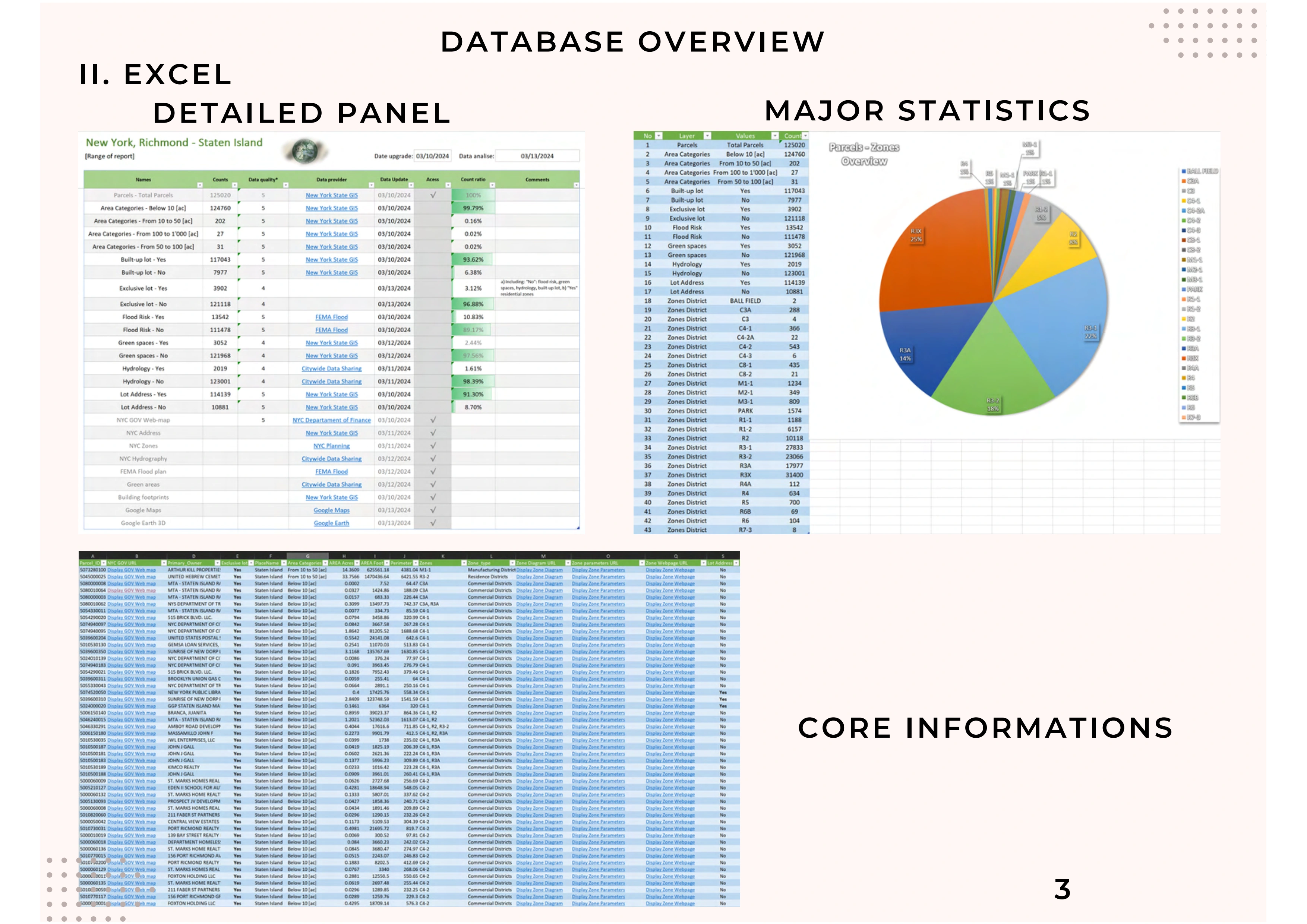
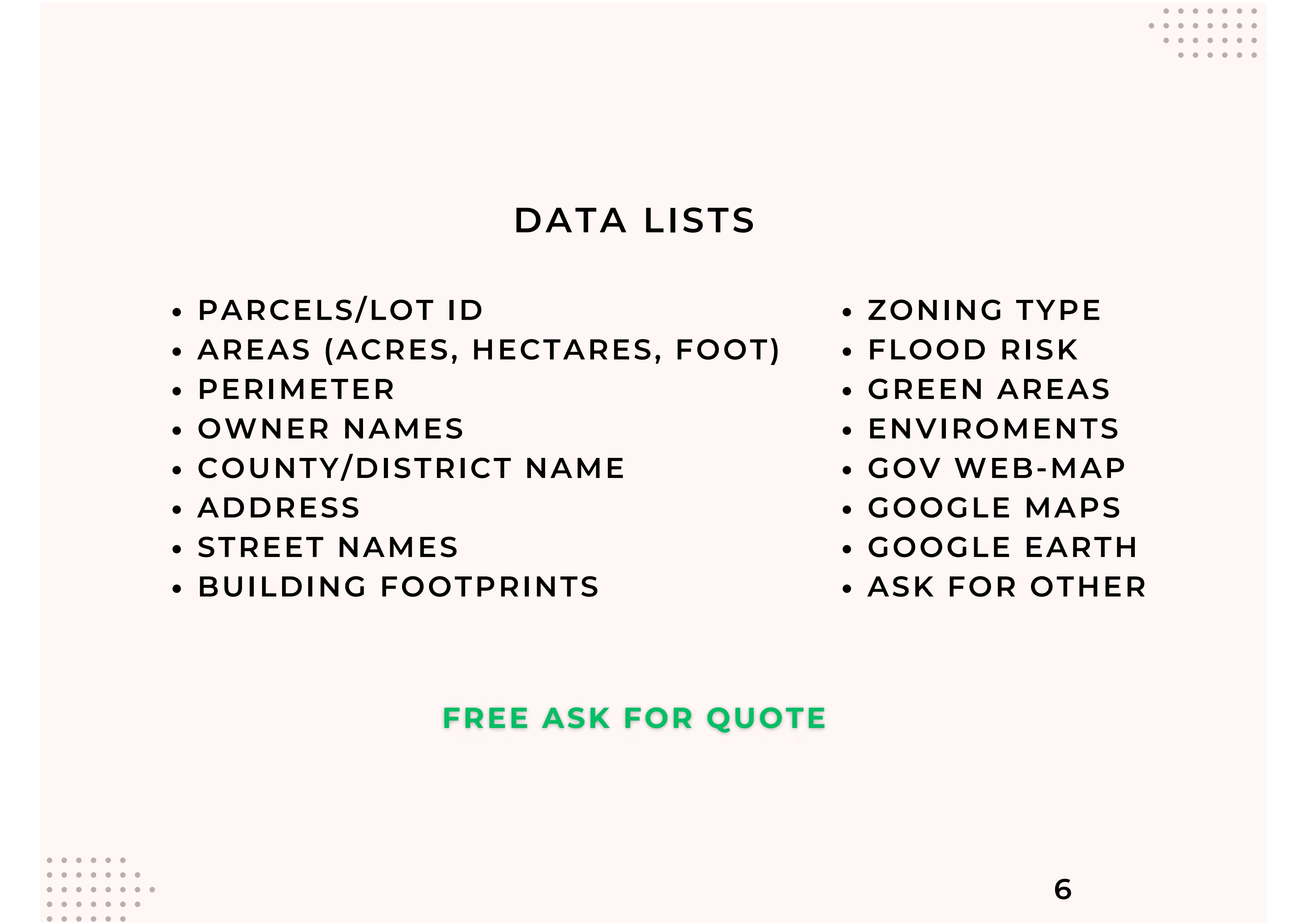
1. Property Area and Types: Includes land size information.
2. Precise Locations: Provides full addresses, easily accessible via Google Maps.
3. Hazard Risks: Alerts about existing hazards.
4. Summary: Concisely summarizes all analyzed data.
Loading this content connects you to storymaps.arcgis.com.
storymaps.arcgis.com privacy informationLike this project
Posted Apr 14, 2024
From land parcel sizes to flood risk assessments. The data covers a market needs for info. More value details explained here: https://bit.ly/E_datasets_expl
Likes
0
Views
31