FreelancersFreelancersRBMIMS : (Geo Mapping)
◆ Context & Challenge
The client aimed to digitize and streamline road infrastructure data collection and management for government departments, engineers, and field surveyors.
The challenge was to:
‣ Replace manual and fragmented data collection processes
‣ Enable accurate, real-time geospatial data capture from field locations
‣ Ensure usability for on-ground teams working in diverse conditions
‣ Provide a centralized system for monitoring, validation, and approvals
◆ Approach & Solution
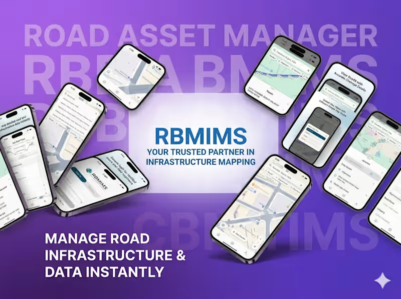
We developed RBMIMS (Road Building Mapping Information Management System), an intelligent geospatial platform designed to digitize infrastructure mapping and streamline field operations.
The solution leverages mobile-based data capture, GPS tracking, and structured workflows to enable efficient infrastructure monitoring and management.
◆ Key focus areas:
‣ Geospatial data collection and mapping
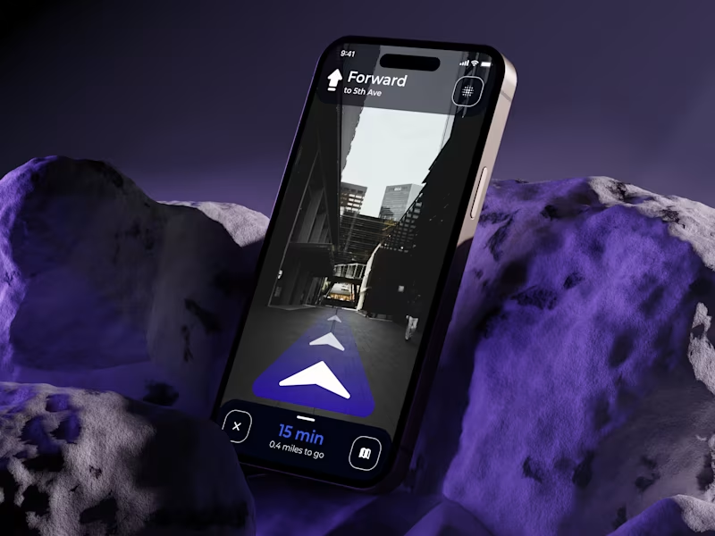
‣ Real-time GPS-based tracking and field data capture
‣ Structured workflows for infrastructure management
‣ Offline functionality for remote field usage
‣ Centralized system for monitoring and approvals
◆ Execution
‣ Designed and developed a mobile-first geospatial application for field teams
‣ Built backend systems for real-time data synchronization and storage
‣ Implemented GPS-based mapping and structured data collection forms
‣ Developed offline capabilities for uninterrupted field operations
‣ Created dashboards for centralized monitoring and approval workflows
◆ Outcome & Impact
RBMIMS transforms traditional infrastructure data collection into a digital, efficient, and scalable system.
‣ Improved accuracy and reliability of field data
‣ Reduced manual effort and data inconsistencies
‣ Enhanced visibility into infrastructure development processes
‣ Faster approvals and streamlined operational workflows
‣ Scalable solution for large-scale government deployment