Tierras Argentinas — Open data atlas — Next.js

Lautaro Lacaze


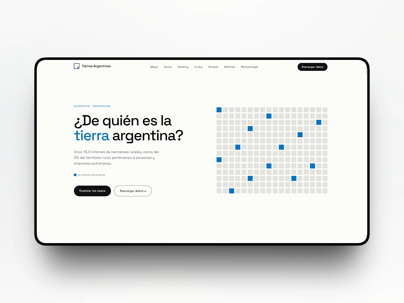
An open atlas that shows how much Argentine land is in foreign hands, with the source next to every number. I designed and developed it end to end in 2026.
The challenge
The debate on foreign land ownership returned when Decree 70/2023 repealed Law 26.737 and its caps on foreign purchases. The data existed, but it was scattered across official records, press, academic reports and court files. There was no single place to answer the question and, above all, to verify the answer.
Design decisions
Opens with the question and one figure: about 13.3 million hectares, close to 5% of rural land, with a square grid showing the proportion at a glance
Province-by-province map, with the ranking bar capped at 15%, the legal limit
23 documented cases presented as case files: owner, country, hectares, provinces, conflict and sources
The law as a timeline: 22 milestones from 1878 to 2026, each with its source
Result
A public atlas covering all 23 provinces and CABA, 23 cases and 63 sources, with downloadable data (PDF + JSON, CC BY 4.0). Built with Next.js and deployed on Vercel.
Live: tierrasargentinas.org · Case study: lacaze.xyz
Like this project
Posted Oct 31, 2026
Open atlas of foreign-owned land in Argentina: 23 cases, 63 sources and a source next to every number. Designed and built with Next.js on Vercel.
Likes
0
Views
0
Timeline
Dec 31, 2025 - Dec 30, 2026