Results that are similar to your search
Similar results
Senior GIS Specialist | ArcGIS & QGIS Expert
Graphic, UX/UI, and Data Visualization Designer
- $1k+
- Earned
- 3x
- Hired
- 5.0
- Rating
- 17
- Followers
Graphic, UX/UI, and Data Visualization Designer


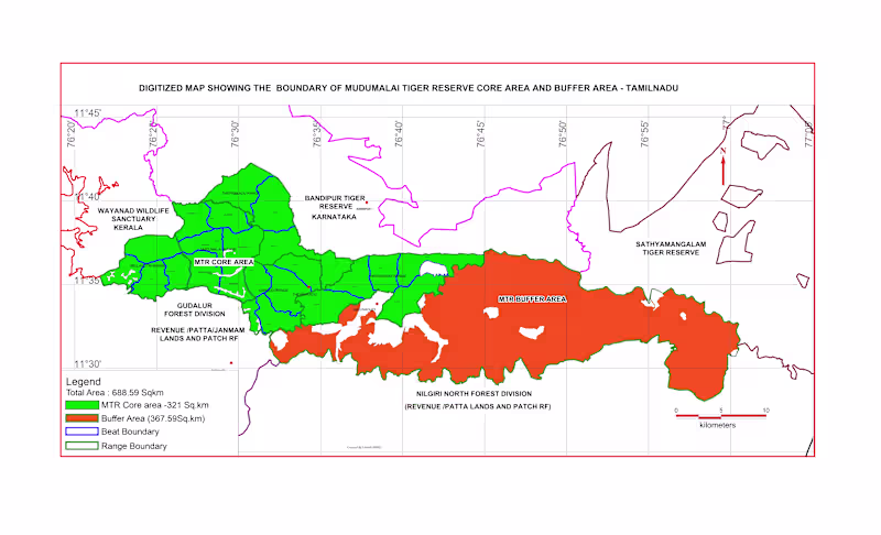
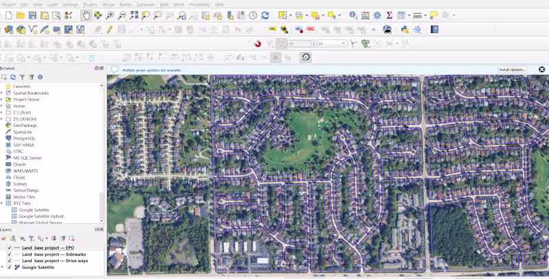
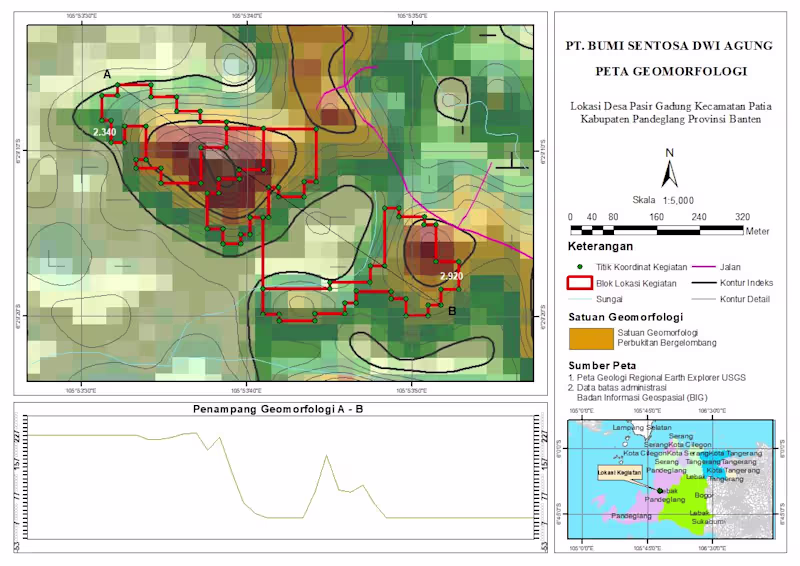
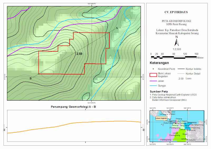
GIS developer | Environmental mapping and spatial analysis
- 5.0
- Rating
- 6
- Followers
GIS developer | Environmental mapping and spatial analysis

View more →
Market intelligence & AI workflows for CRE and EDC teams

Project Manager & Implementation Consultant
Project Manager & Implementation Consultant


Work Life Balance
Work Life Balance

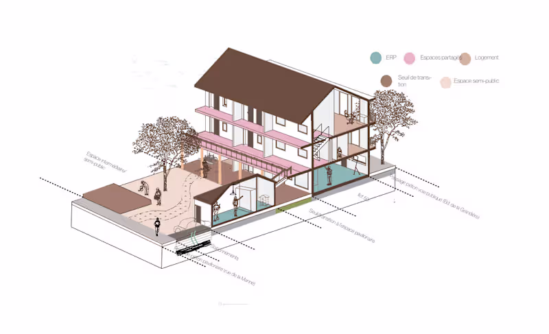
UX/UI designer, translator, architectural renderer

Python, Linux & Network Specialist (Firmware, Backend, QA)
Python, Linux & Network Specialist (Firmware, Backend, QA)