
Aline Moraes
GIS developer | Environmental mapping and spatial analysis
- 5.0
- Rating
- 6
- Followers


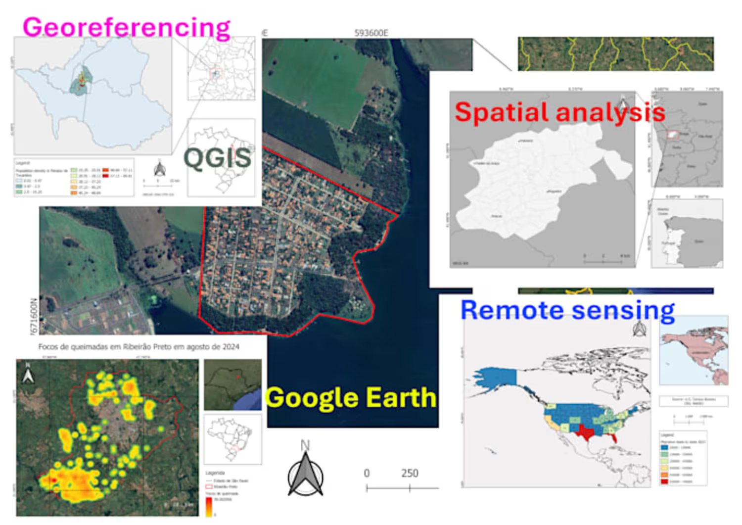
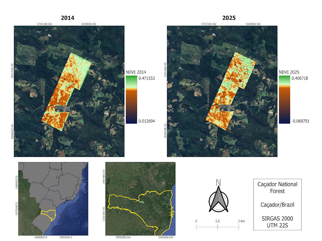
We use satellite imagery to monitor different types of environmental data.
The map below shows the NDVI (Normalized Difference Vegetation Index) calculated using Landsat 8 imagery, which indicates vegetation health.
You can find more details on this topic in my papers and reports.
1
17
318
Technologies for the carbon market
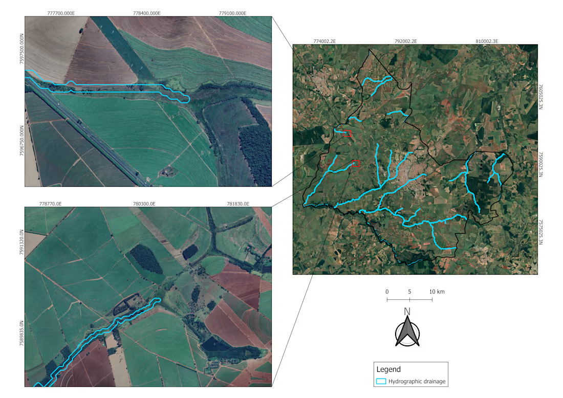
In the map below, hydrograph drainage was generated using satellite imagery (Copernicus Global DSM 30m). The satellite imagery reveals that, in many cases where rivers and springs occur, the required vegetation cover is not properly maintained.
With climate change, issues like this are becoming increasingly relevant.
The carbon market has great potential for growth and improvement with the use of these technologies.
16
280
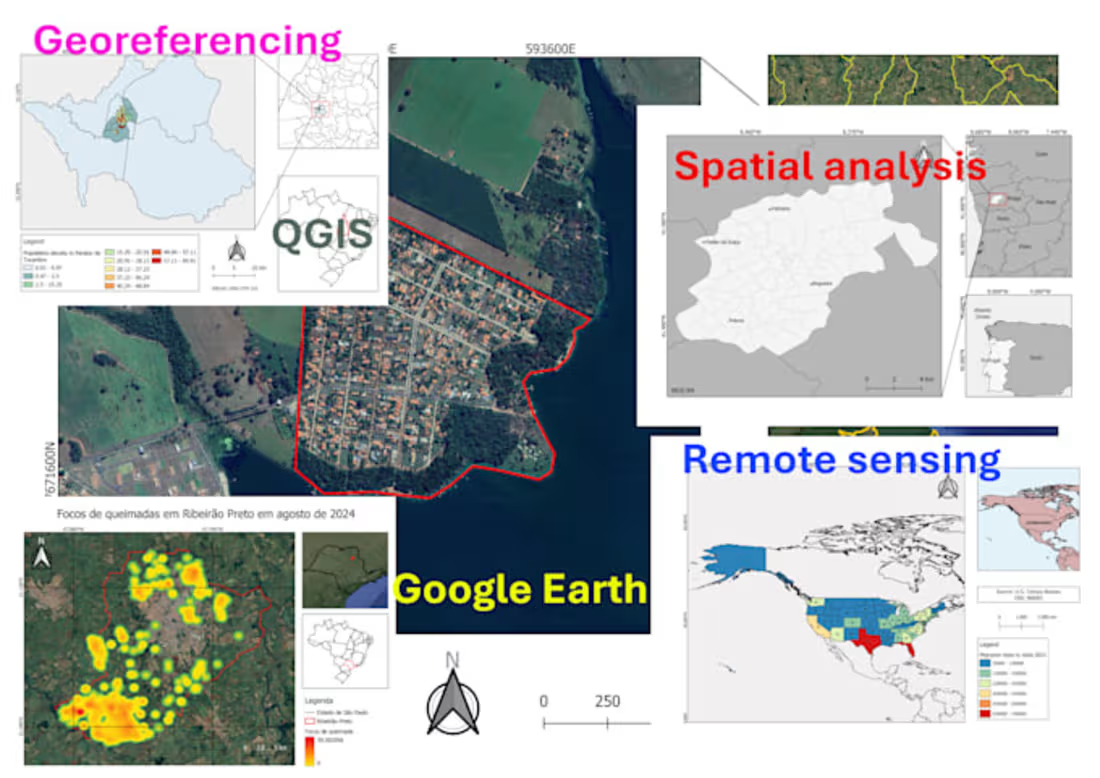
GIS Mapping and Spatial Analysis Project
0
31