We use satellite imagery to monitor different types of envir...
Aline Moraes
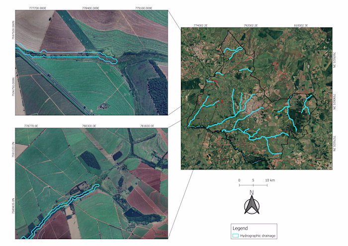
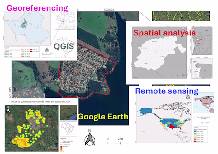
We use satellite imagery to monitor different types of environmental data.
The map below shows the NDVI (Normalized Difference Vegetation Index) calculated using Landsat 8 imagery, which indicates vegetation health.
You can find more details on this topic in my papers and reports.
Like this project
Posted Oct 27, 2025
We use satellite imagery to monitor different types of environmental data. The map below shows the NDVI (Normalized Difference Vegetation Index) calculated ...
Likes
0
Views
4