The network for creativity
Join 1.25M professional creatives like you
Connect with clients, get discovered, and run your business 100% commission-free
Creatives on Contra have earned over $150M and we are just getting started
Back to feedPost
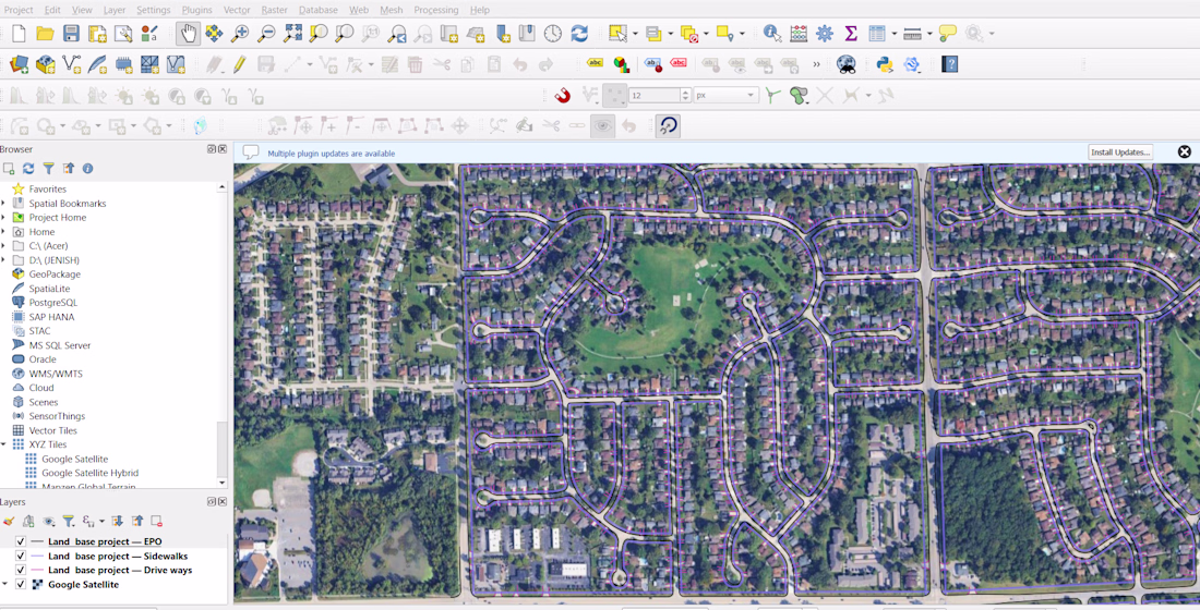
Utility Mapping & Asset Digitization using GIS
Description
Accurate utility mapping is essential for infrastructure planning and asset management. In this project, I developed a comprehensive GIS-based utility map by integrating field-collected GPS data with spatial datasets.
I digitized utility assets such as pipelines, electrical lines, and infrastructure features, ensuring proper alignment and georeferencing. Using ArcGIS and QGIS, I organized the data into structured layers, making it easy to analyze, update, and use for decision-making.
The final output included clean, high-precision maps and GIS datasets (Shapefile/GeoJSON) that can be used for planning, maintenance, and future expansion of utility networks.
This project highlights my ability to handle large datasets, ensure spatial accuracy, and deliver professional GIS solutions for real-world applications.
👉 Available for utility mapping, asset digitization, and GIS data management projects. Feel free to message me.
The network for creativity
Join 1.25M professional creatives like you
Connect with clients, get discovered, and run your business 100% commission-free
Creatives on Contra have earned over $150M and we are just getting started
Related posts
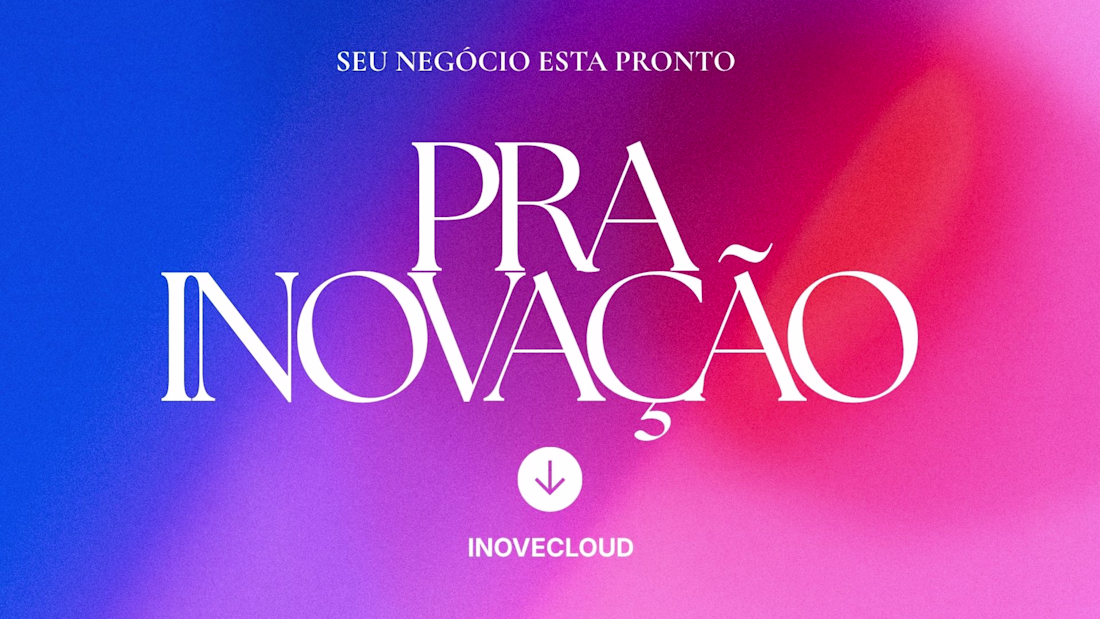
Inovecloud cria sites de alta conversão inovando negócios com experiência de vender.Seu site não é só uma vitrine. É a sua máquina de vendas.Na Inovecloud, construo sites pensados para converter visitantes em clientes reais. Cada página, cada botão, cada seção é desenhada com um objetivo: fazer o seu negócio vender mais.O diferencial? Uso ferramentas de alta qualidade como Figma, Lovable, Cursor e inteligência artificial para entregar resultados rápidos, modernos e funcionais.Se você tem um negócio e precisa de um site que realmente trabalha por você, vamos conversar.contra.com/inovecloud
This project was created as part of my self-employed work and involved creating the visual identity for an independent engineering professional specializing in civil engineering, with a focus on excavation and pipeline construction. The goal was to translate his technical expertise, precision, and hands-on approach into a clear and trustworthy brand presence. The design reflects a strong focus on reliability, structural integrity, and high-quality execution in infrastructure and underground construction projects.
Every project is an opportunity to create something timeless.
Our goal is simple: deliver edits that feel cinematic, emotional, and unforgettable.
Your footage deserves a professional finish.
📩 Let's create something amazing together.
#ValorEditHouse #VideoEditingServices
Trending
Claude
Claude has entered the design space. How are you using Claude Design?
Contra University
Learn from expert creatives how to earn more using next-gen AI tools.
fifaworldcup2026
The World Cup is here and the whole world's watching. How are you designing for the world stage?
creativeaiflow
Creative AI workflows are evolving. What tools do you use, and what are their strengths and weaknesses?
freelancerlife
Freelancer life is wins, pivots, and everything in between. What’s yours right now?