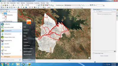
I will create maps in gis and google earth
Like this project
Posted Jan 31, 2024
Fiverr freelancer will provide Data Visualization services and create maps in gis and google earth within 2 days
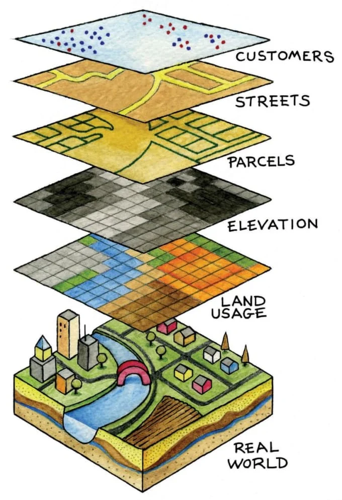
create maps in gis and google earth
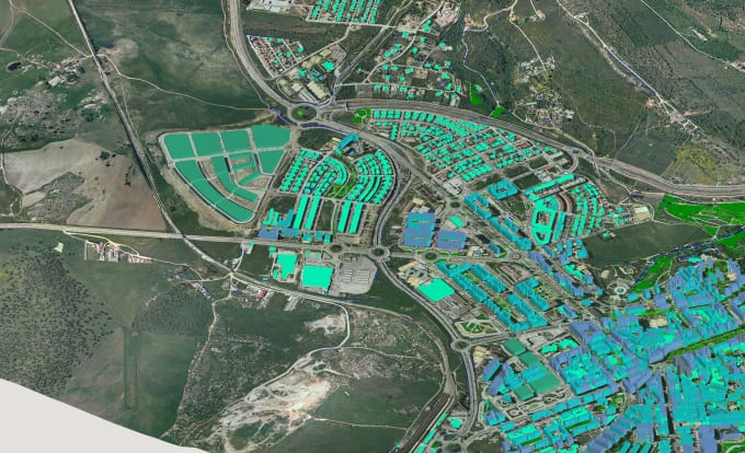
create maps in gis and google earth
About this gig
Doing GIS Data development work and autocad 2D and 3D work 10 year experience in this field.
1. Shapefile creation just like point, line, polygon. 2. Geo reference, 3. Spatial adjustment
4. Cadastral work, 5. Any type of map etc...6 Cadastral Mapping Work
7 Thematic Mapping Work- Digital Elevation Model, Contour Data & map, Slope Data, Elevation Data 8 Digitization Just like Road, Drainage, Water bodies, Canal, Building, Settlement, forest area, agriculture Area, barren land etc
9. Area Calculation, 10. Land Mark Creation.
11. Map Compose in any format with high resolution just like png, tiff, jpg, mrsid etc
12 Union Data, 13 Intersect Data and attribute data.....
14 Buffer creation, 15 Extract Images, 16 Report Writing, 17 Assignment work
I will give 100% satisfaction work unlimited revision.
Tool
About the seller
Manju
Online
GIS Engineer
4.5(17)
FromIndia
Member sinceOct 2016
Avg. response time1 hour
Last delivery2 weeks
LanguagesHindi, English
GIS professional with a master's degree in GIS and Remote Sensing. Bringing over a decade of experience in data analysis, monitoring, land use, and cover mapping to ensure exceptional quality work for client satisfaction. Professional GIS engineer with a master's in GIS and Remote Sensing. Offering 15 years of expertise in handling GIS-based projects, ensuring top-notch quality and client satisfaction as my priority. Experienced Data Engineer and Video Editor. Master's degree in GIS and Remote Sensing. Specialize in GIS-based projects with 15 years of expertise. Committed to delivering.


