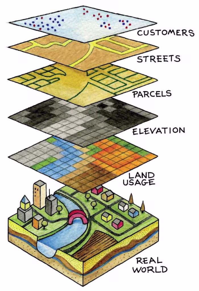
Leveraging GIS for Urban Planning

MANJU LATA

0

Data Visualizer

Illustrator

Data Analyst

ArcGIS

AutoCAD

QGIS

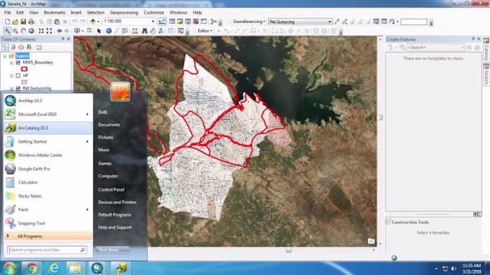
Master and Zonal Plan work
Like this project
0

Completed a comprehensive GIS analysis to aid in urban planning and development, focusing on land use and land cover patterns.

Likes

0

Views

0

Tags

Data Visualizer

Illustrator

Data Analyst

ArcGIS

AutoCAD

QGIS

MANJU LATA

15 Yrs GIS Expert and Data Engineer 🌍

I will do georeferencng of satellite image and cadastral map in…
I will create vector map in gis
I will create maps in gis and google earth
Streamlining Data Management with GIS