I will do georeferencng of satellite image and cadastral map in…
MANJU LATA
About this gig
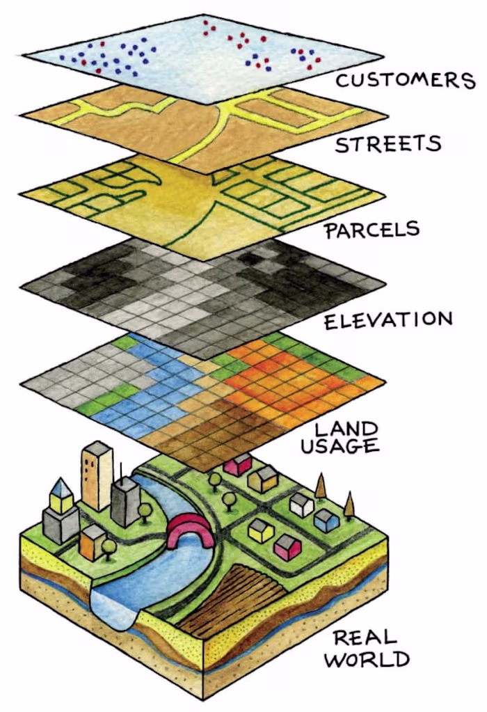
.Rectification/Geo-Referecing Of Satellie Image and cadastral map.
1. Satellite Image :- LISS III , Cartosat, LISS IV Any other satellite Image.
2. Cadastral Data In Both Format RASTER AND VECTOR.
3. TOPOSHEET.
Tool
ArcGIS
Like this project
Posted Jan 31, 2024
Fiverr freelancer will provide Data Visualization services and do georeferencng of satellite image and cadastral map in gis within 2 days
Likes
0
Views
22