Enhancing Environmental Monitoring with GIS

MANJU LATA

Environmental analysis
Like this project

Posted Jan 31, 2024

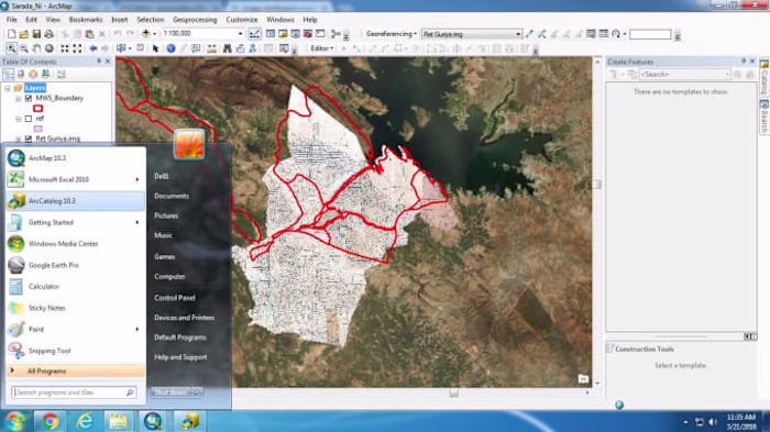
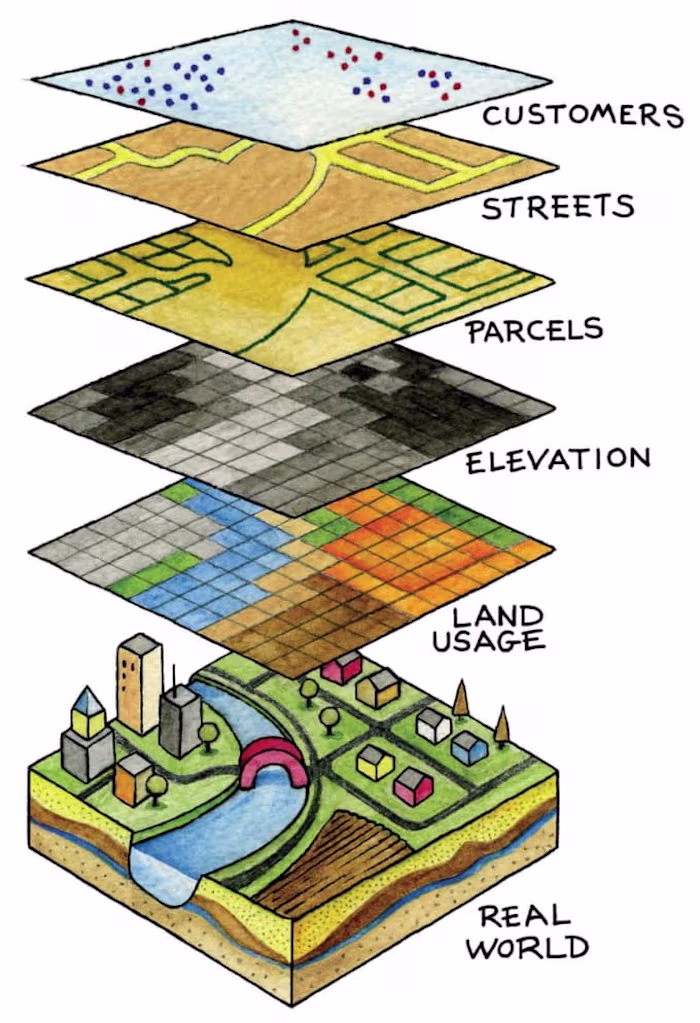
Implemented a GIS-based system for environmental monitoring, facilitating data analysis and visualization of natural resource management.

Leveraging GIS for Urban Planning
I will do georeferencng of satellite image and cadastral map in…
I will create vector map in gis
I will create maps in gis and google earth

Join 50k+ companies and 1M+ independents

Contra Logo

© 2025 Contra.Work Inc