Streamlining Data Management with GIS
MANJU LATA
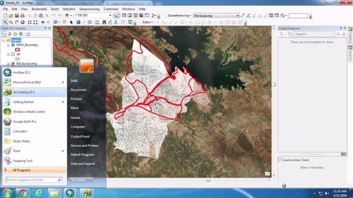
GIS Project
Like this project
Posted Jan 31, 2024
Developed a customized data management solution using GIS, ensuring efficient organization and accessibility of spatial data.
Likes
0
Views
8
MANJU LATA
Posted Jan 31, 2024
Developed a customized data management solution using GIS, ensuring efficient organization and accessibility of spatial data.
0
8