Telecom Infrastructure GIS & Spatial Data Platform

Yong Zhang


Telecom Infrastructure GIS & Spatial Data Platform
GIS Architecture · Spatial Data Engineering · WebGIS Development
Project Overview
This project focused on GIS capabilities for a telecommunications infrastructure management system, covering fiber-optic networks, facility locations, field inspections, and location-based operations.
The initial requirements were open-ended. The client needed to understand how GIS could support inspection workflows, field staff check-ins, route management, task assignments, and operational visibility.
As the GIS architect and core GIS developer within the engineering team, I worked with stakeholders and the project manager to translate these business needs into a practical technical solution.
The Challenge
The existing mapping architecture struggled to handle more than 20 million spatial features, including points, lines, and polygons.
The project needed a more suitable approach to spatial data storage, map service delivery, frontend visualization, and spatial queries.
Another challenge was collaboration. Most developers on the team were not GIS specialists, so the system needed clear interfaces that allowed regular frontend and backend developers to work with geographic functionality without having to understand its internal implementation.
My Role & Contributions
1. Requirements Analysis & GIS Architecture
Participated directly in requirement discussions, examined field inspection workflows, and helped define how web and mobile applications should interact with GIS services.
Worked with the project manager to break down GIS requirements into implementable development tasks and establish technical boundaries between team members.
2. Large-Scale Spatial Data Architecture
Redesigned the spatial data storage, map service, and frontend access pipeline using PostgreSQL/PostGIS, GeoServer, and WMS.
The architecture was designed around the requirements of managing and accessing more than 20 million spatial features.
3. Core GIS Development
Implemented core geographic functionality, including:
Spatial data storage and management
Map service publishing and layer rendering
Interactive feature selection and attribute queries
Map styling and visualization
Spatial analysis and route planning using PostGIS and GeoServer
4. Reusable GIS SDK & Team Integration
Developed reusable GIS interfaces for common operations such as map loading, drawing, querying, and user interactions.
Separated specialized GIS processing and analysis from general application code through defined interfaces and data contracts.
Also provided technical guidance and GIS training to other developers, enabling them to implement common map-related features using the shared SDK.
Engineering Outcome
The project established a redesigned GIS data and service architecture for the large spatial dataset and provided reusable geographic capabilities for the broader engineering team.
Beyond individual map features, a key contribution was making specialized GIS functionality easier to integrate, extend, and maintain within a multi-developer software project.
Technologies
PostgreSQL · PostGIS · GeoServer · WMS · WebGIS · Spatial Data Architecture · GIS SDK Development
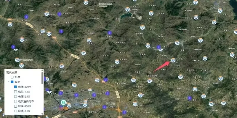
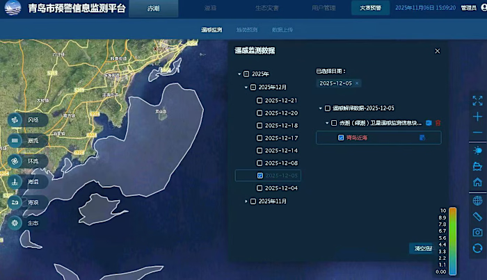
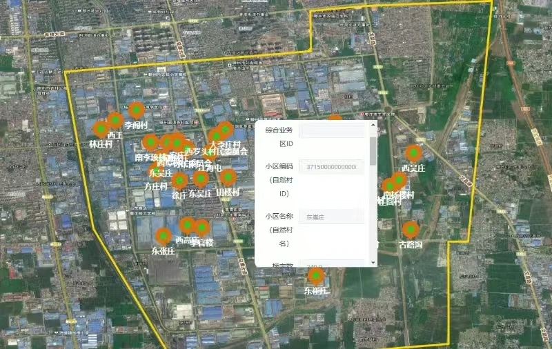
WebGIS visualization of geographic resource layers on a satellite basemap, including layer controls and spatial feature markers.
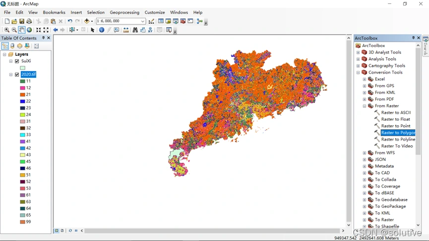
Spatial feature visualization and inspection in ArcMap, showing geographic data distribution and classification.
Like this project
Posted Oct 28, 2026
Redesigned GIS data access for 20M+ spatial features using PostGIS, GeoServer and WMS, with reusable map services, queries and SDK interfaces.