Jenish Jana
Senior GIS Specialist | ArcGIS & QGIS Expert
New to Contra
Jenish is ready for their next project!

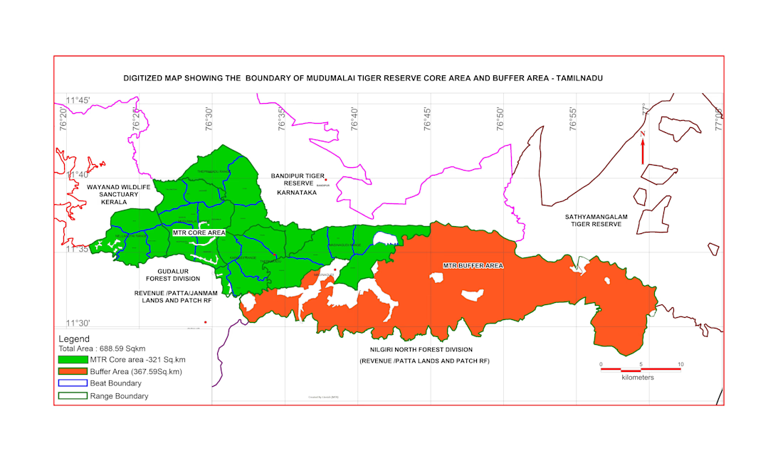
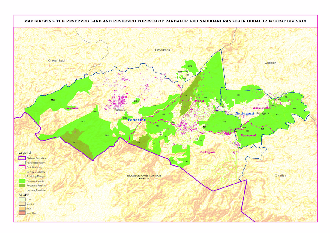
Reserved Land & Reserved Forest Map – Pandalur & Nadugani Ranges
This project focuses on mapping reserved lands and reserved forests in the Pandalur and Nadugani ranges under the Gudalur Forest Division.
Using QGIS, I created a detailed administrative map including division,...
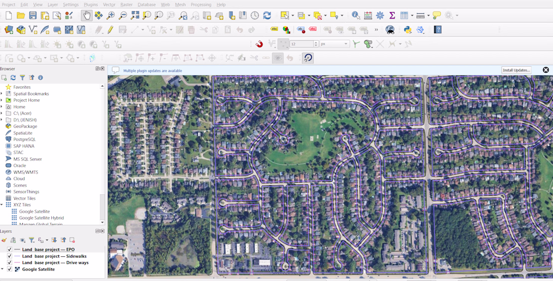
Administrative Boundary Mapping & GIS Solutions
I provide accurate and professional administrative boundary mapping services using ArcGIS and QGIS. With 12+ years of GIS experience, I create clear and reliable maps for districts, taluks, villages, and other administrative units.
I...