Product Designer, Brand Designer, Founder & Jitter Expert
Product Designer, Brand Designer, Founder & Jitter Expert
One-stop visual partner for business that want to stand out
One-stop visual partner for business that want to stand out
Tailored Graphic Solutions for Brands ✨
Art in design, strategy in action 💥

Affordable Graphic & Web Design Solutions


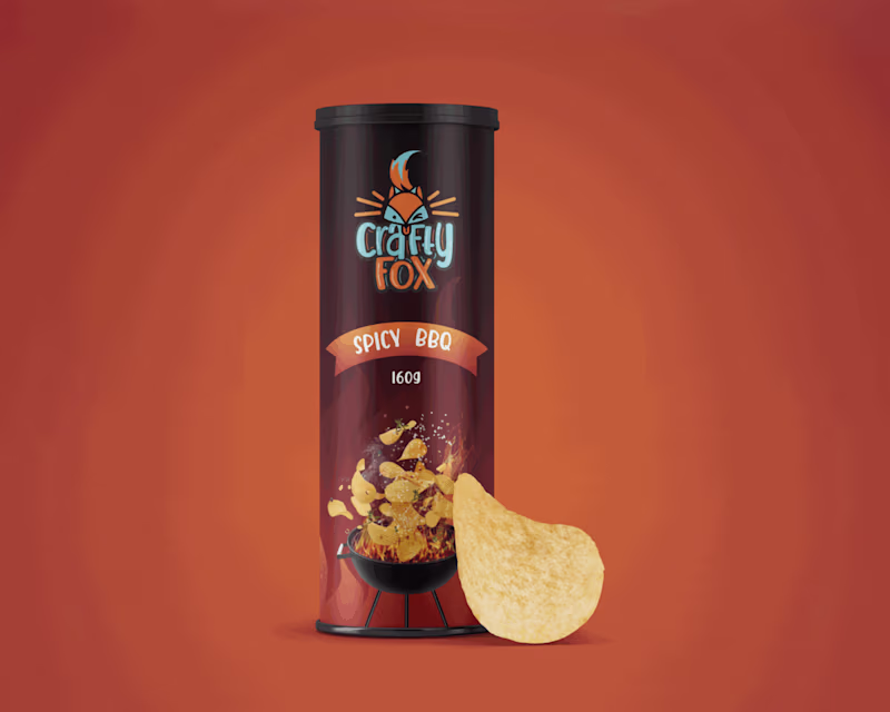
Graphic designing and 3D animation
Graphic designing and 3D animation

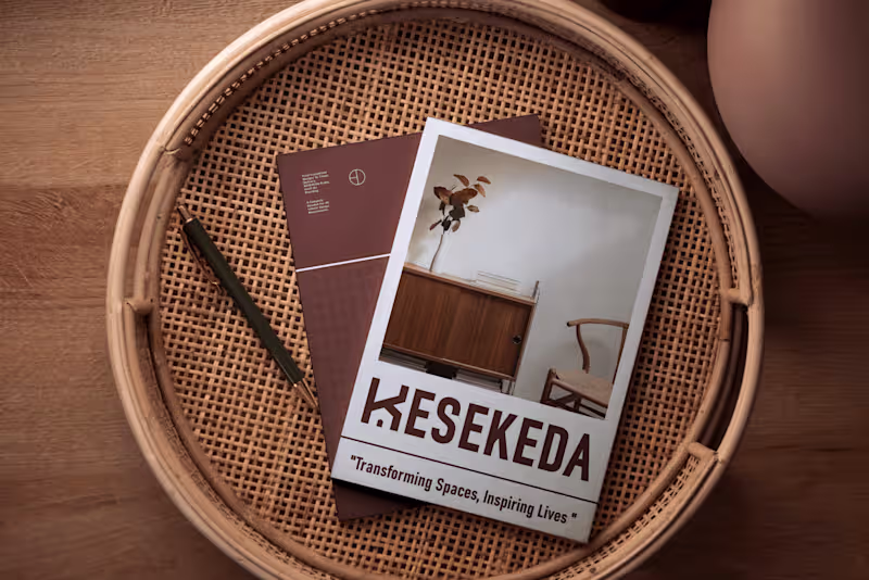
Brand Strategist, Graphic Designer, Creative Communications
Brand Strategist, Graphic Designer, Creative Communications

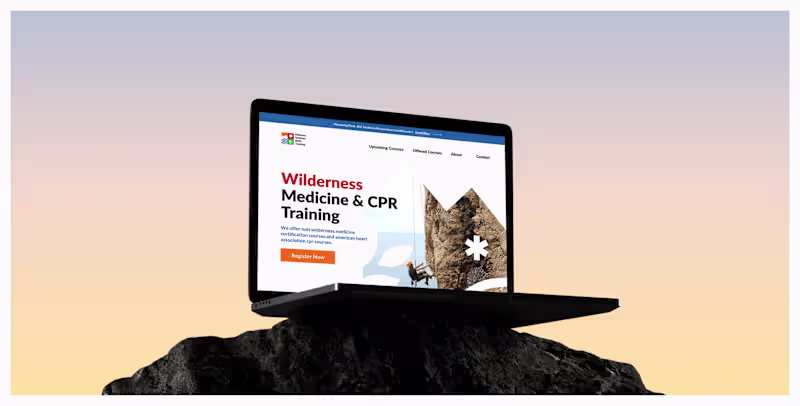
Social Media Content and Creative Designer.
Social Media Content and Creative Designer.
View more →