3d WebGL
WebGL Engineer & 3D Artist Innovating Quality 3D since 2011
Ready for work
3d is ready for their next project!

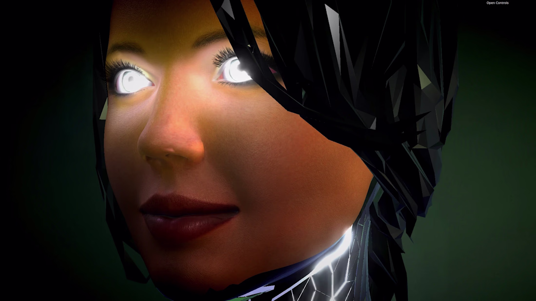
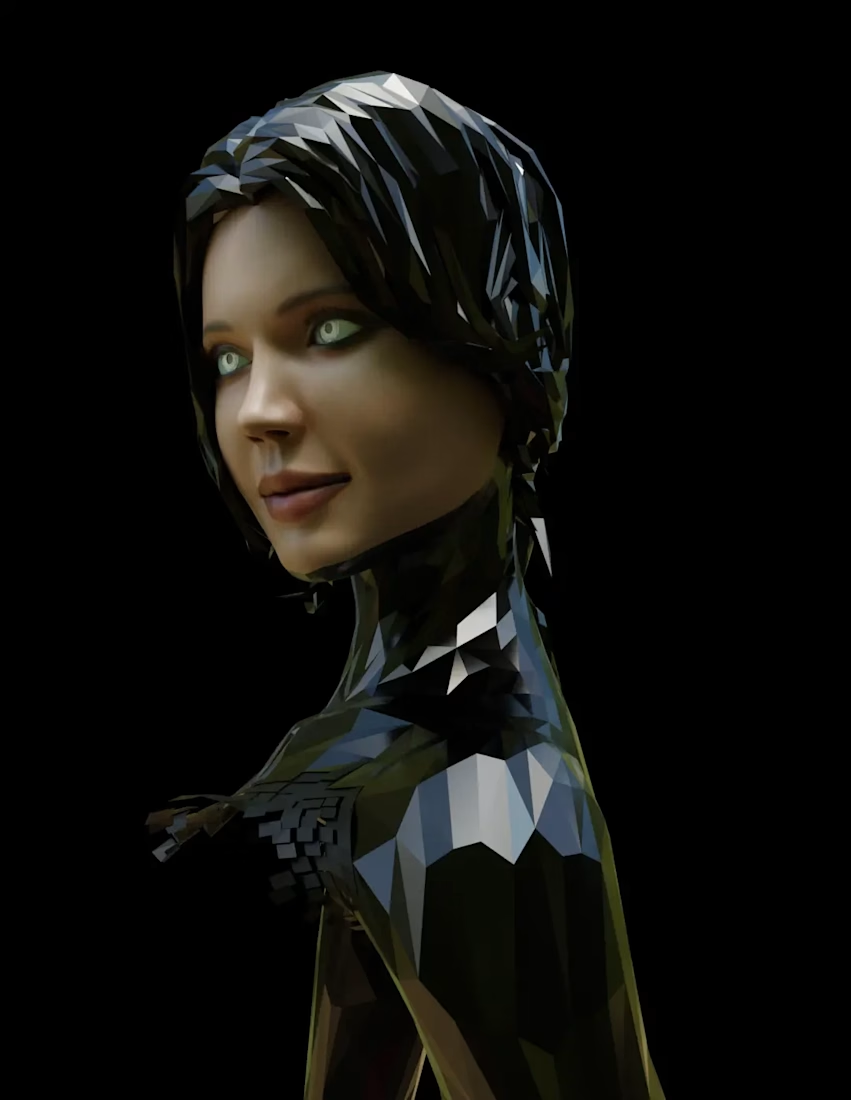
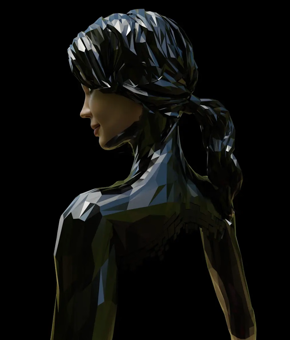
Fully rigged and WebGL optimized robot woman avatar inspired by 3dMark 2000 end demo scene and a woman from French Ministry of Economy

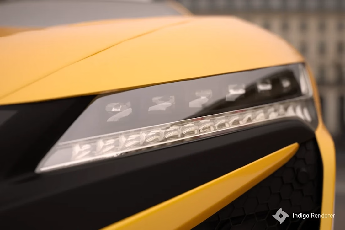
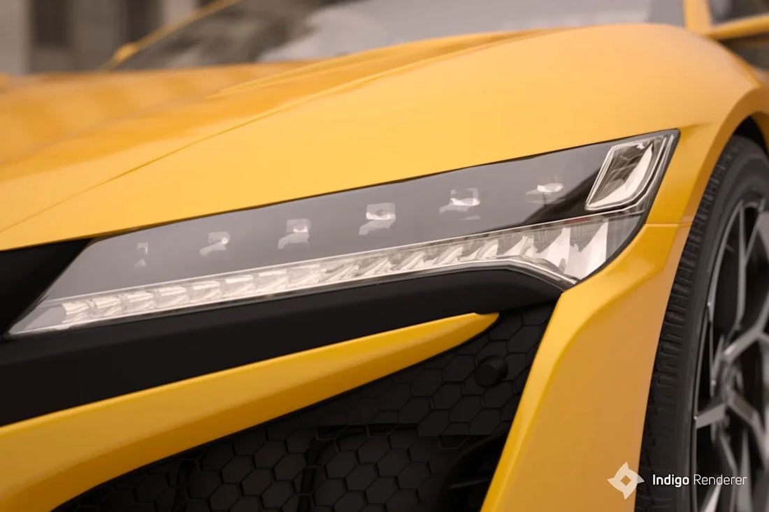
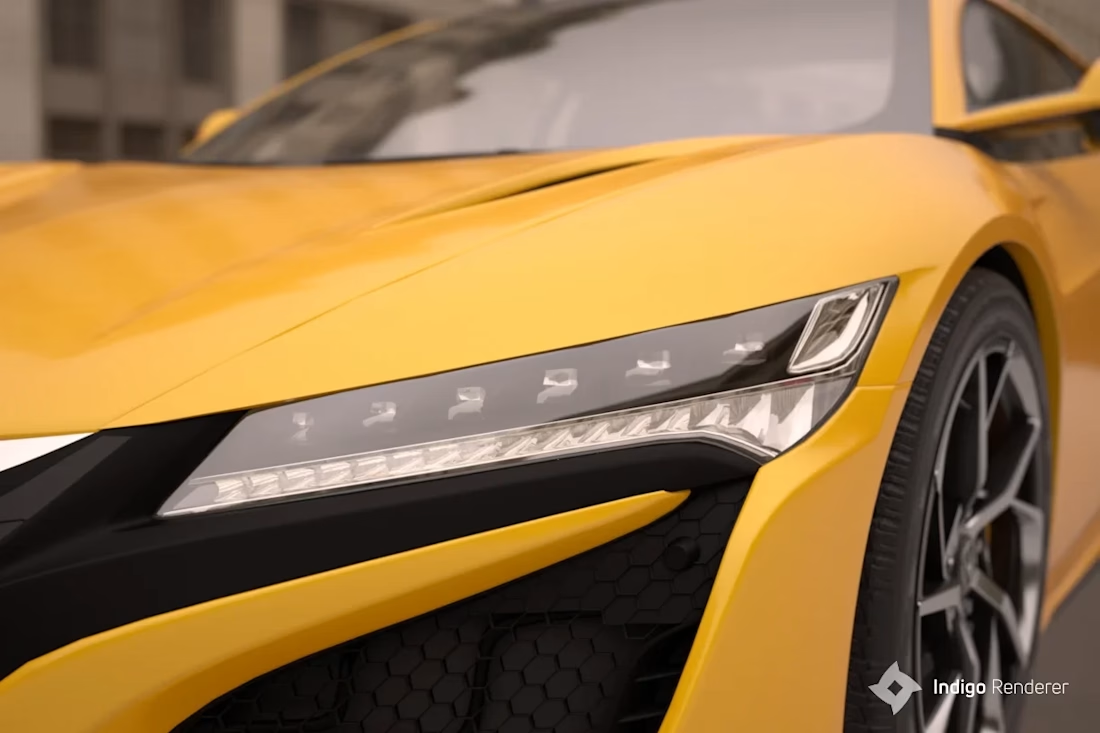
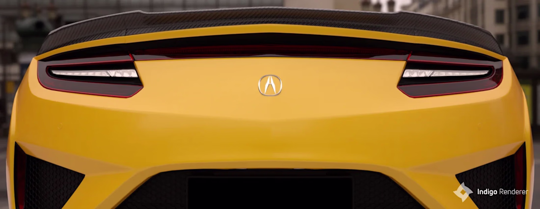
Exterior concept shots for new 3d configurator for automotive 3d project. Little more photographic take with help of Indigo. Mostly about focal, composition and spectral tone mapping.

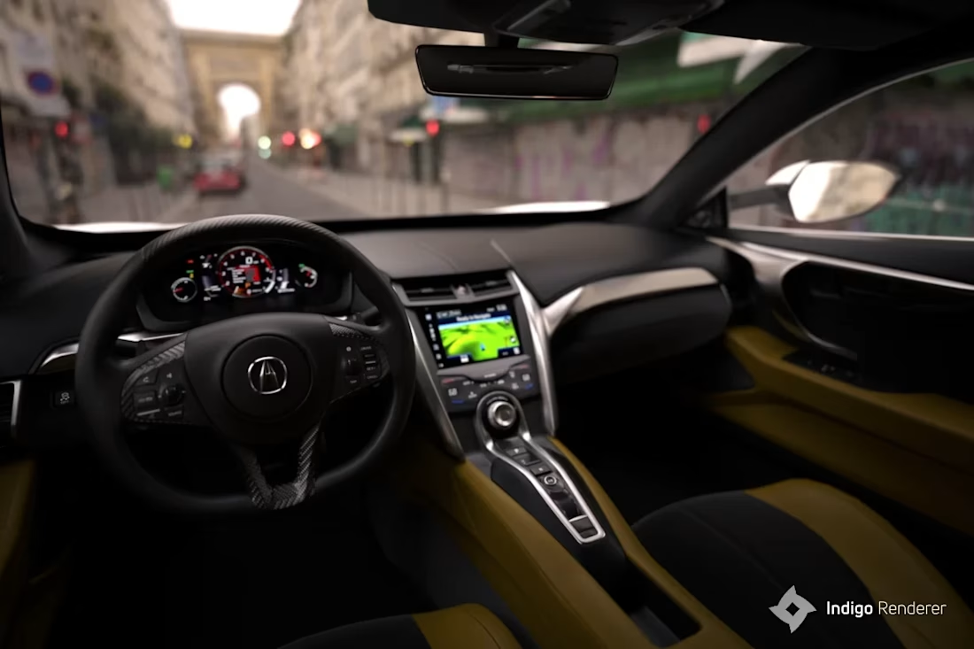
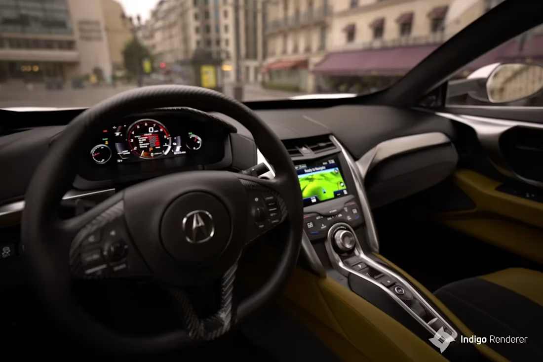
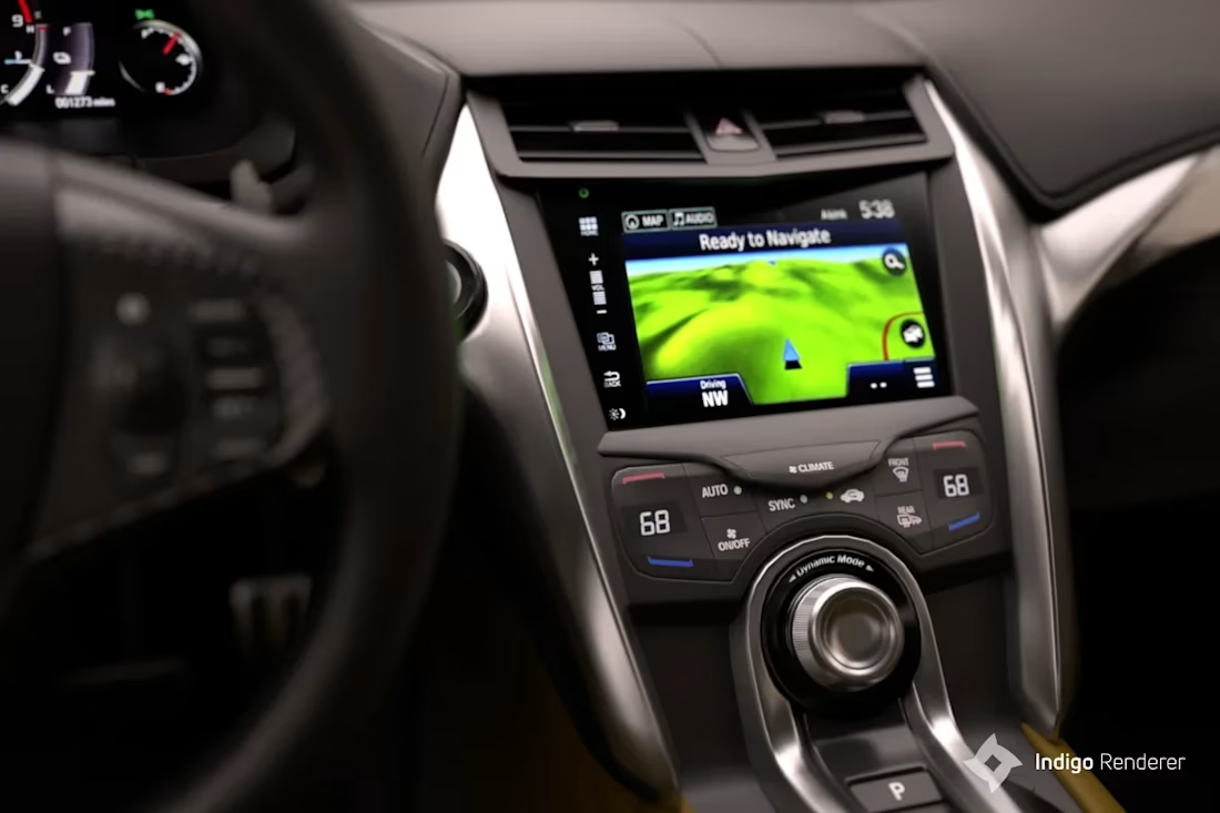
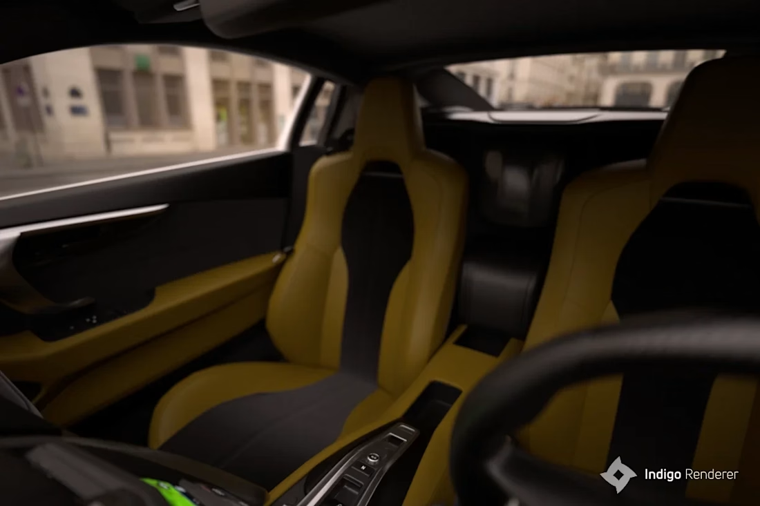
Working on a visual concept of new automotive 3d configurator, new level of WebGL quality and tone mapping nuances for interiors. 2nd take this time in Indigo.
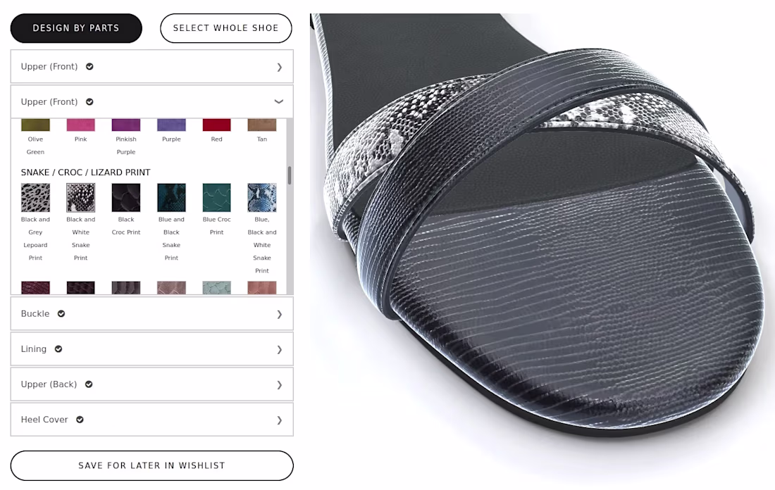
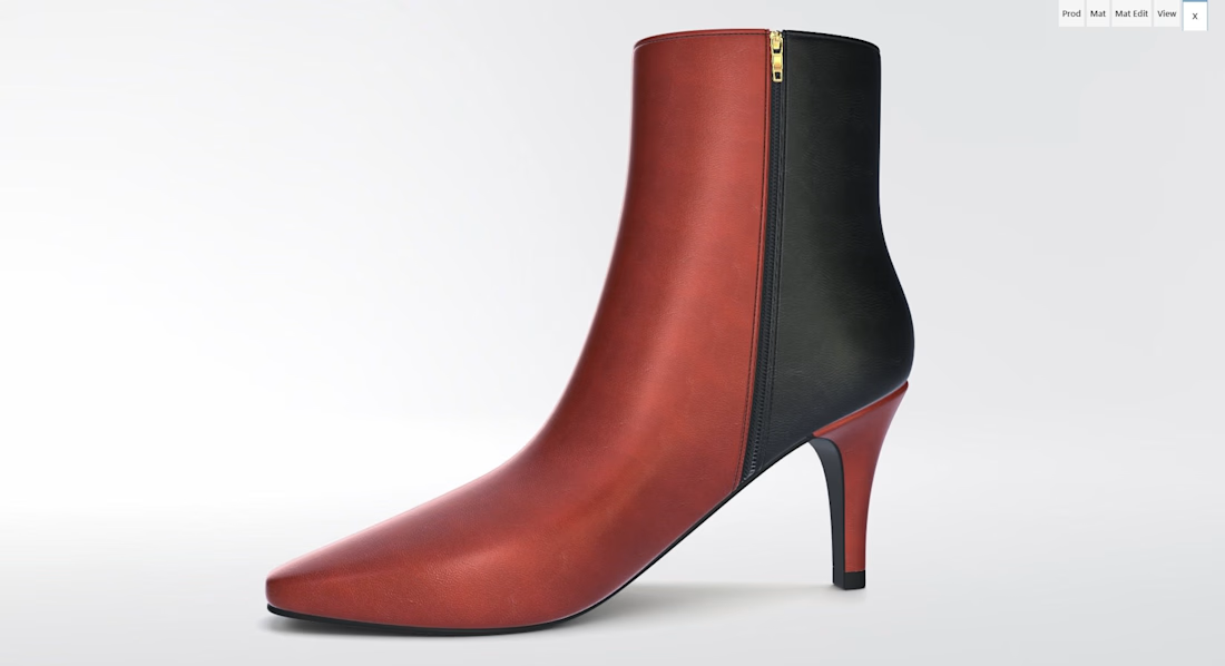
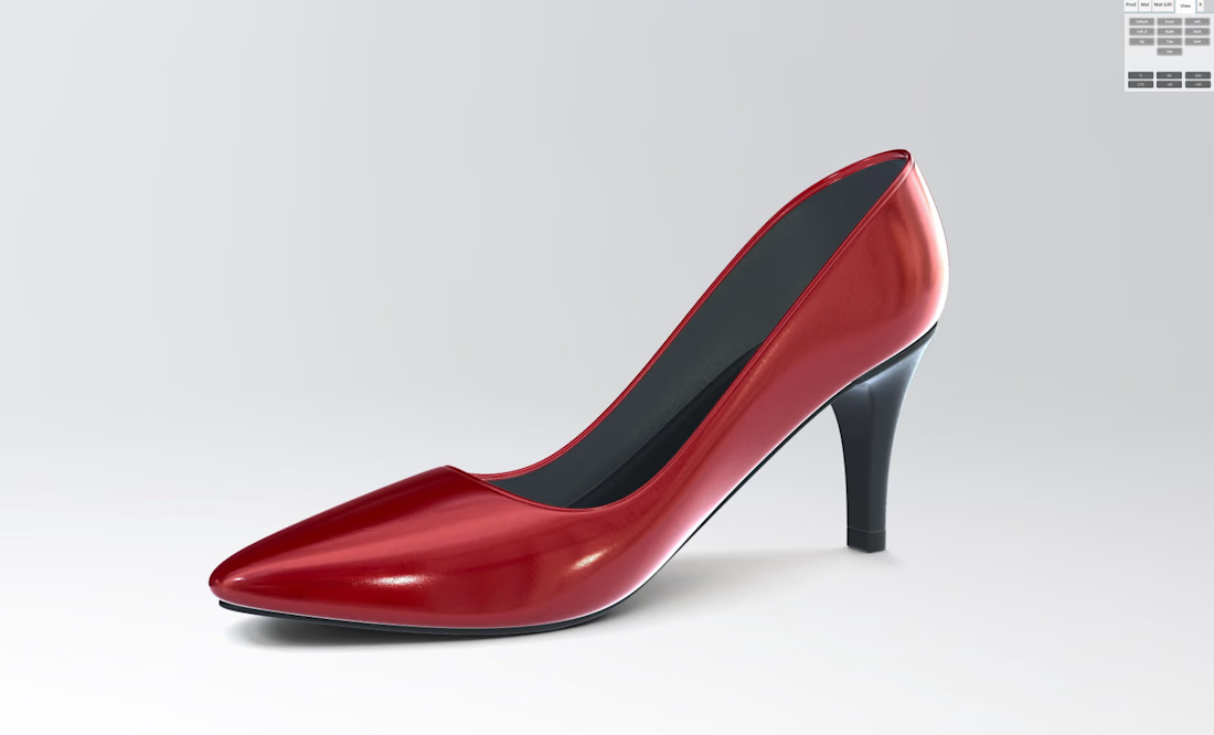
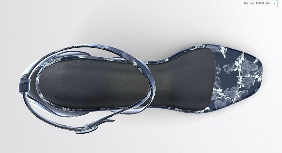
Interactive 3d configurator rendered in a browser, WebGL. Bespoke shoes fit to 3d scan and fully peronalized.
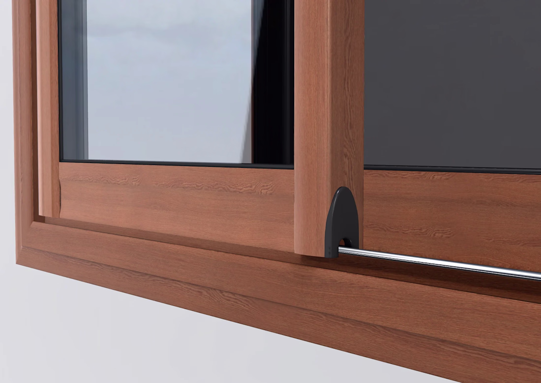
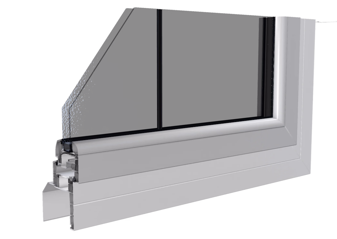
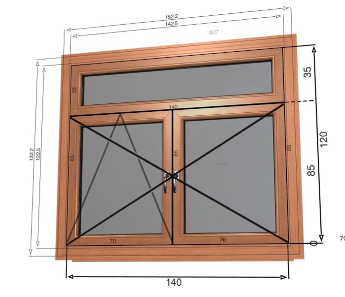
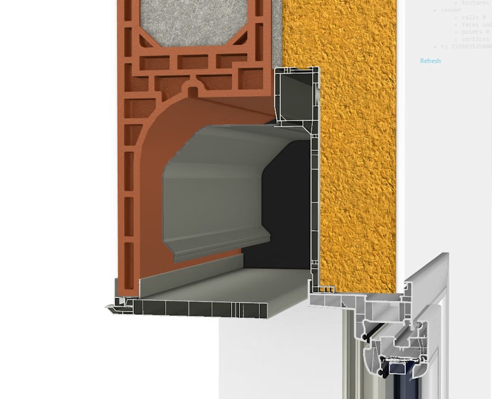
WebGL-based interactive 3d configurator of personalized doors and windows. 2017