
Administrative Boundary Mapping & GIS Solutions
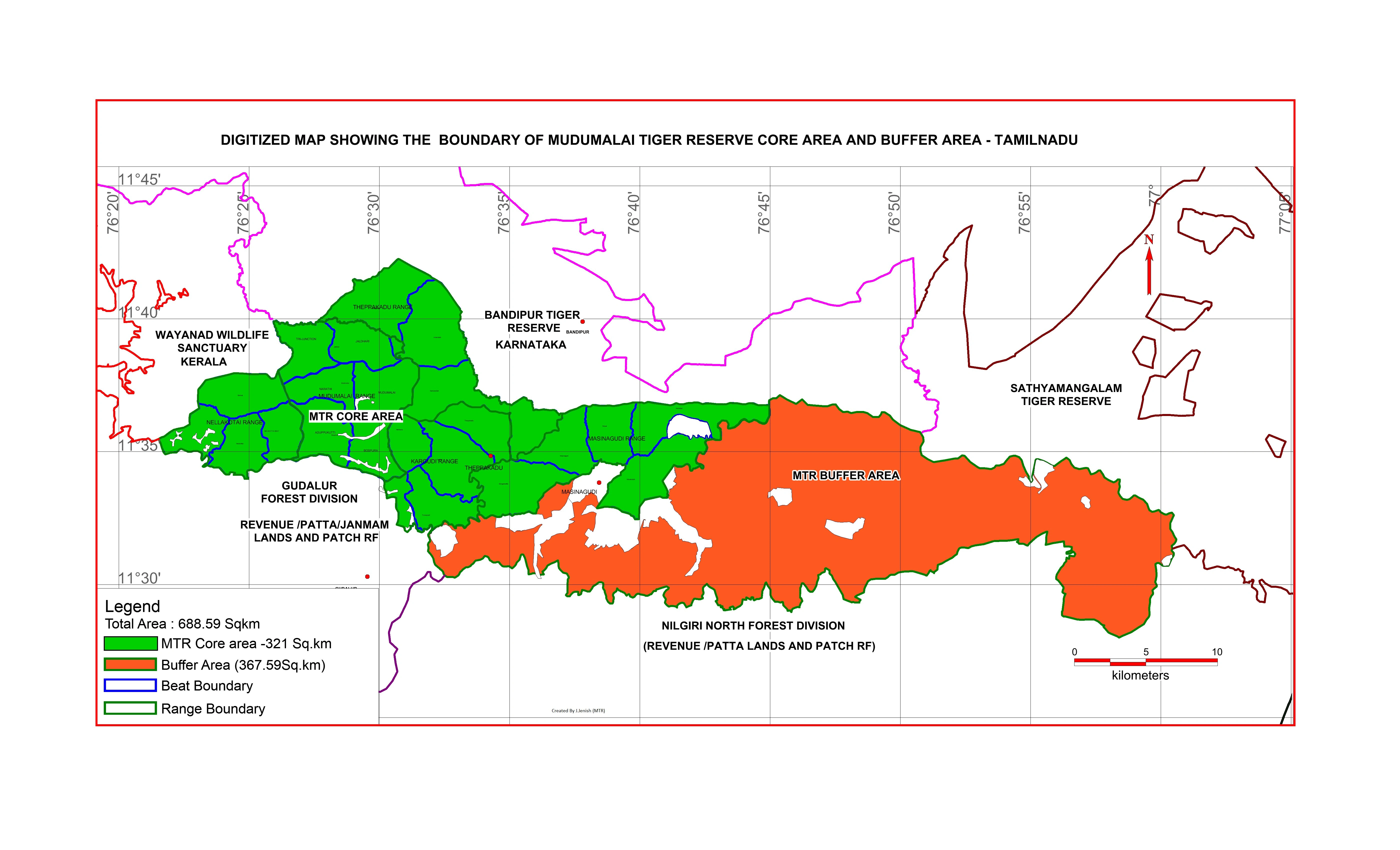
I provide accurate and professional administrative boundary mapping services using ArcGIS and QGIS. With 12+ years of GIS experience, I create clear and reliable maps for districts, taluks, villages, and other administrative units.
I can digitize boundaries from maps, georeference data, and prepare clean GIS layers (Shapefile, GeoJSON, KML). These maps are useful for planning, governance, reporting, and decision-making.
Whether you need boundary correction, map visualization, or data preparation, I ensure high accuracy, proper alignment, and professional output.
👉 Message me to discuss your mapping requirements.
0 likes · 0 views · Apr 25, 2026
Administrative Boundary Mapping & GIS Solutions I provide accurate and professional administrative boundary mapping services using ArcGIS and QGIS. With 12+ ...
