Manhattan Tree Map Project
Katrin Bichler

Manhattan Treemap
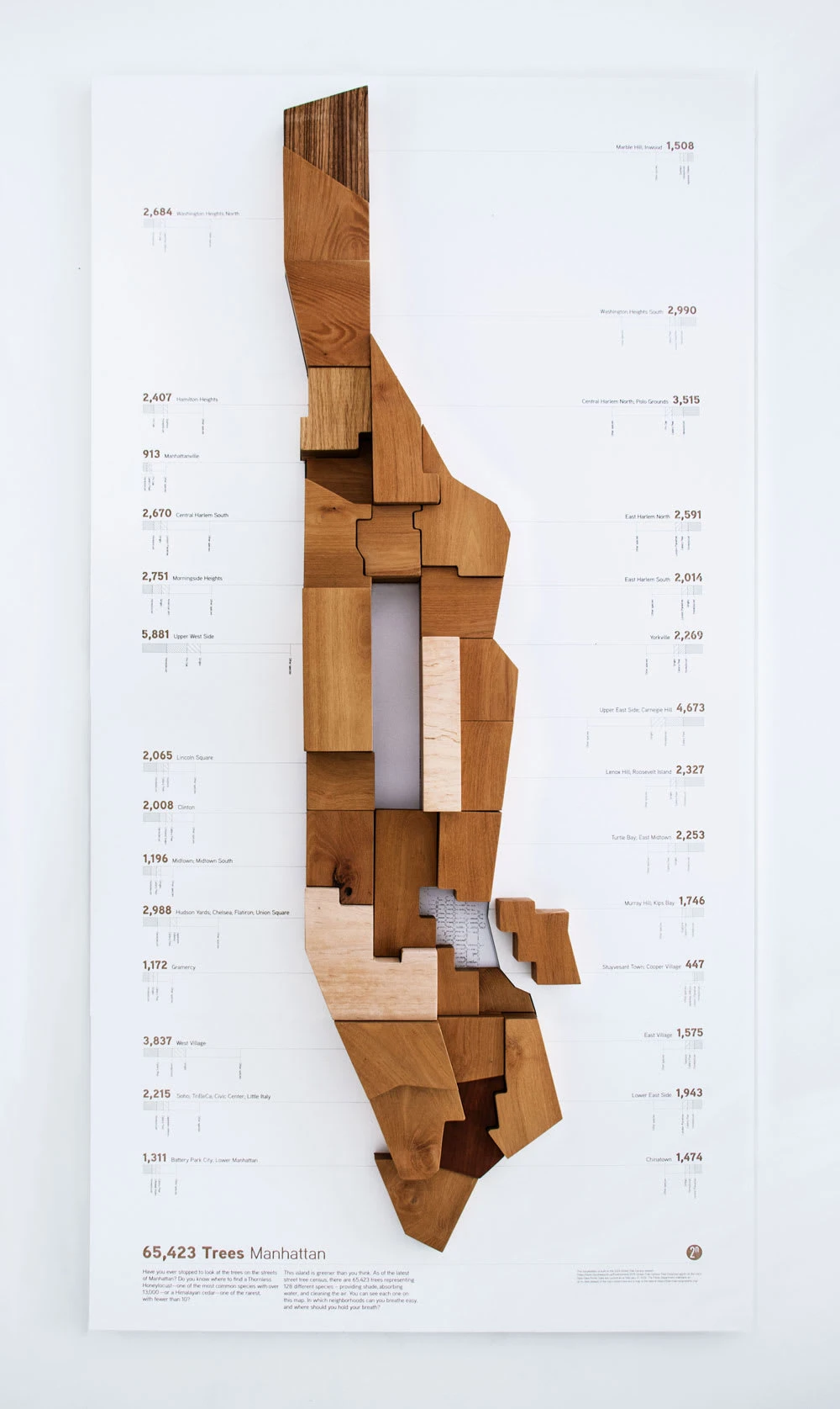
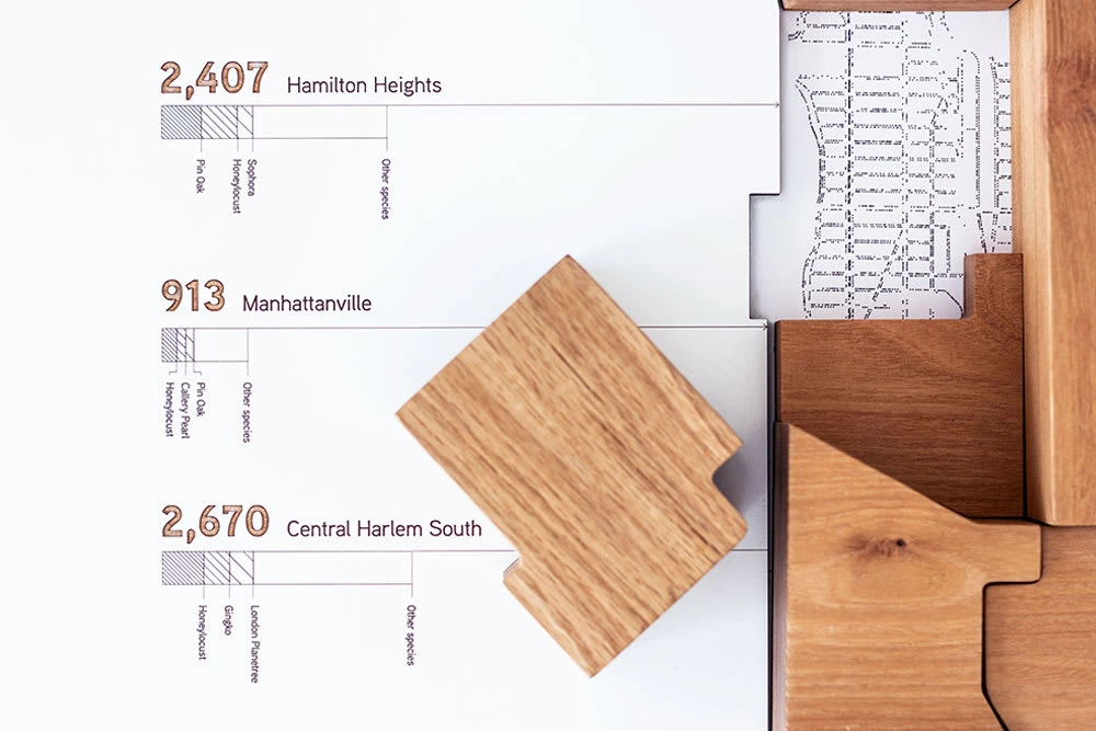
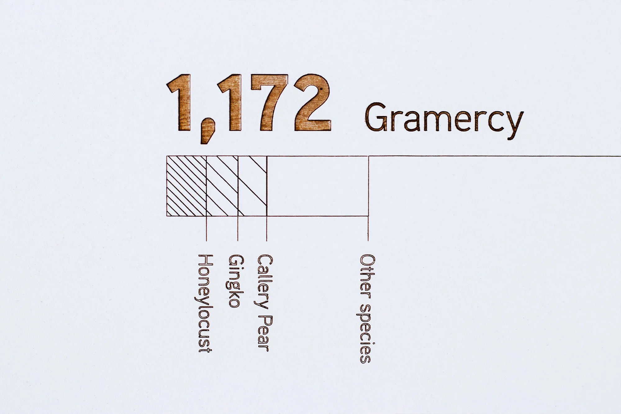
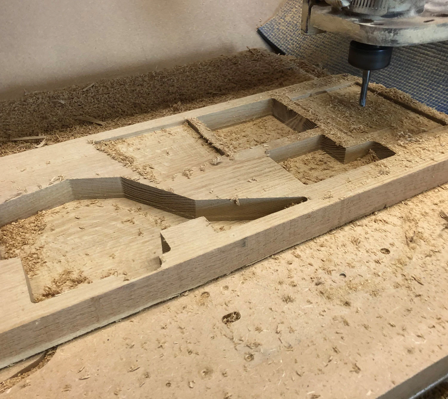
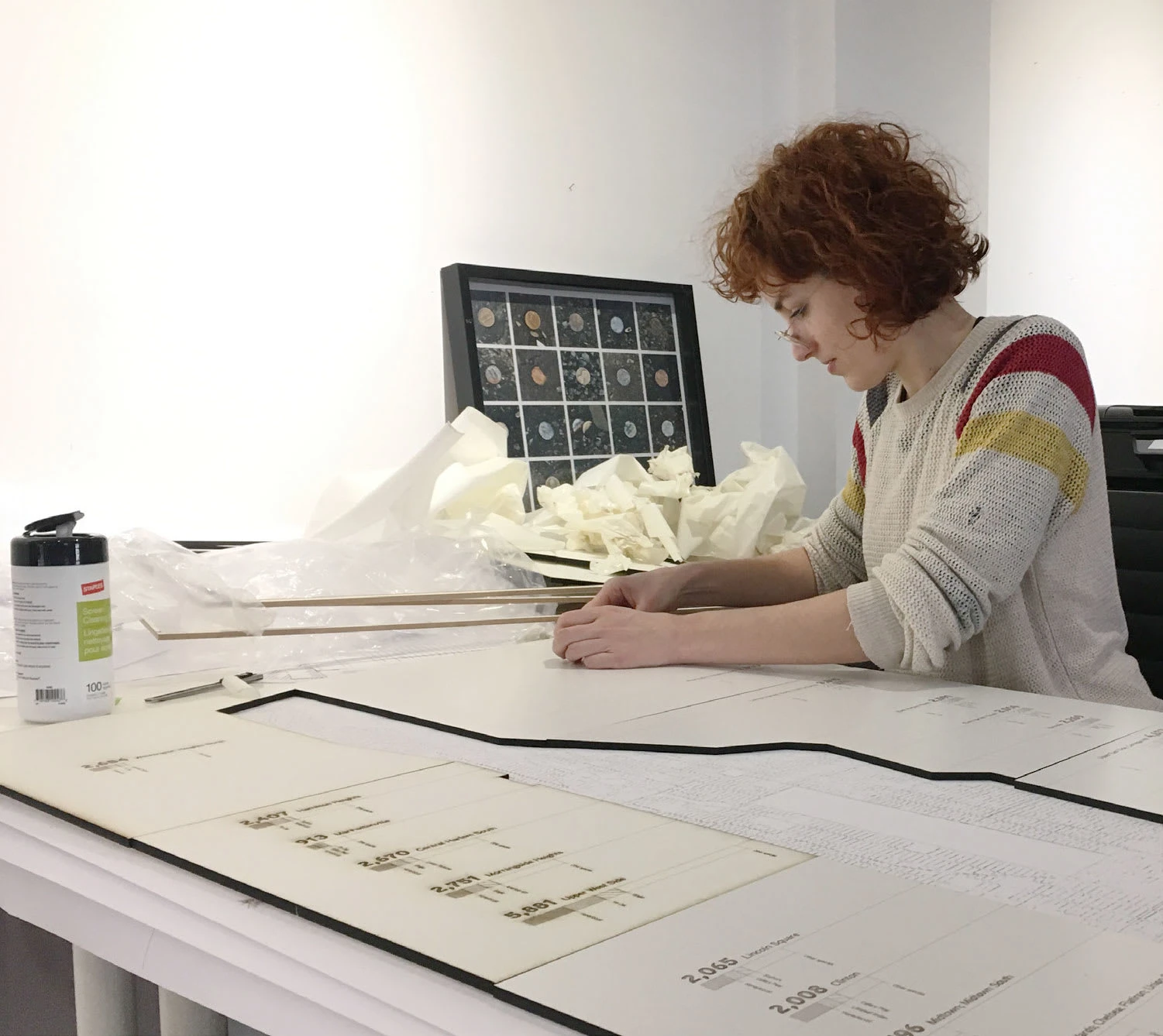
The Manhattan Tree Map is a wooden map based on the NYC Street Tree Census data. Each neighborhood is represented through a wooden block. It’s height signifies the amount of trees, whereas the wood represents the most prevalent tree. Beneath the blocks is a printed map with the exact geo-location of each tree.
Exhibited at DataThroughDesign at New York Open Data Week.
Longlisted for Information is Beautiful Awards
Image courtesy of Two-n, Inc
Team: Creative Direction: Hermann Zschiegner Project Manager: Natalie Erdem Lead Developer: Alec Barrett Fabrication: Gustavo Bonet NodusNYC


Like this project
Posted May 28, 2025
Created a wooden map based on NYC Street Tree Census data for New Yorks Open Data Week.
Likes
1
Views
10
Timeline
Feb 28, 2019 - Mar 28, 2019