Freelancers using QGIS in ViennaFreelancers using QGIS in ViennaResults that are similar to your search
Similar results
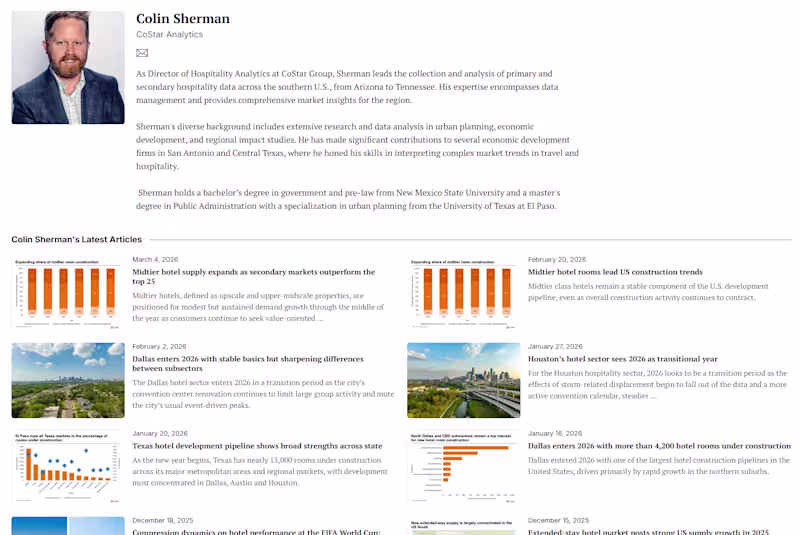
Over 3.5 years as Director of Hospitality Analytics at CoStar Group, I authored 140+ market analyses covering hotel performance across 60+ U.S. markets — with a focus on Texas, the U.S. South, and major metros including Dallas, Austin, San Antonio, New Orleans, Nashville, and Atlanta.
Work was published at CoStar.com (http://CoStar.com) and syndicated through regional Business Journals and national outlets including the Wall Street Journal. Topics included supply pipeline analysis, demand segmentation, RevPAR forecasting, and emerging market trends — including early calls on extended stay demand driven by infrastructure spending and border city occupancy surges.
These analyses were consumed by hotel brand executives, private equity firms, REIT investors, and developers making high-stakes investment and development decisions.
Content is owned by CoStar Group. Link directs to my author profile on their platform.