Projects using PostgreSQL in LahoreProjects using PostgreSQL in LahoreKorely Voiceperi – AI Voice Assistant Platform
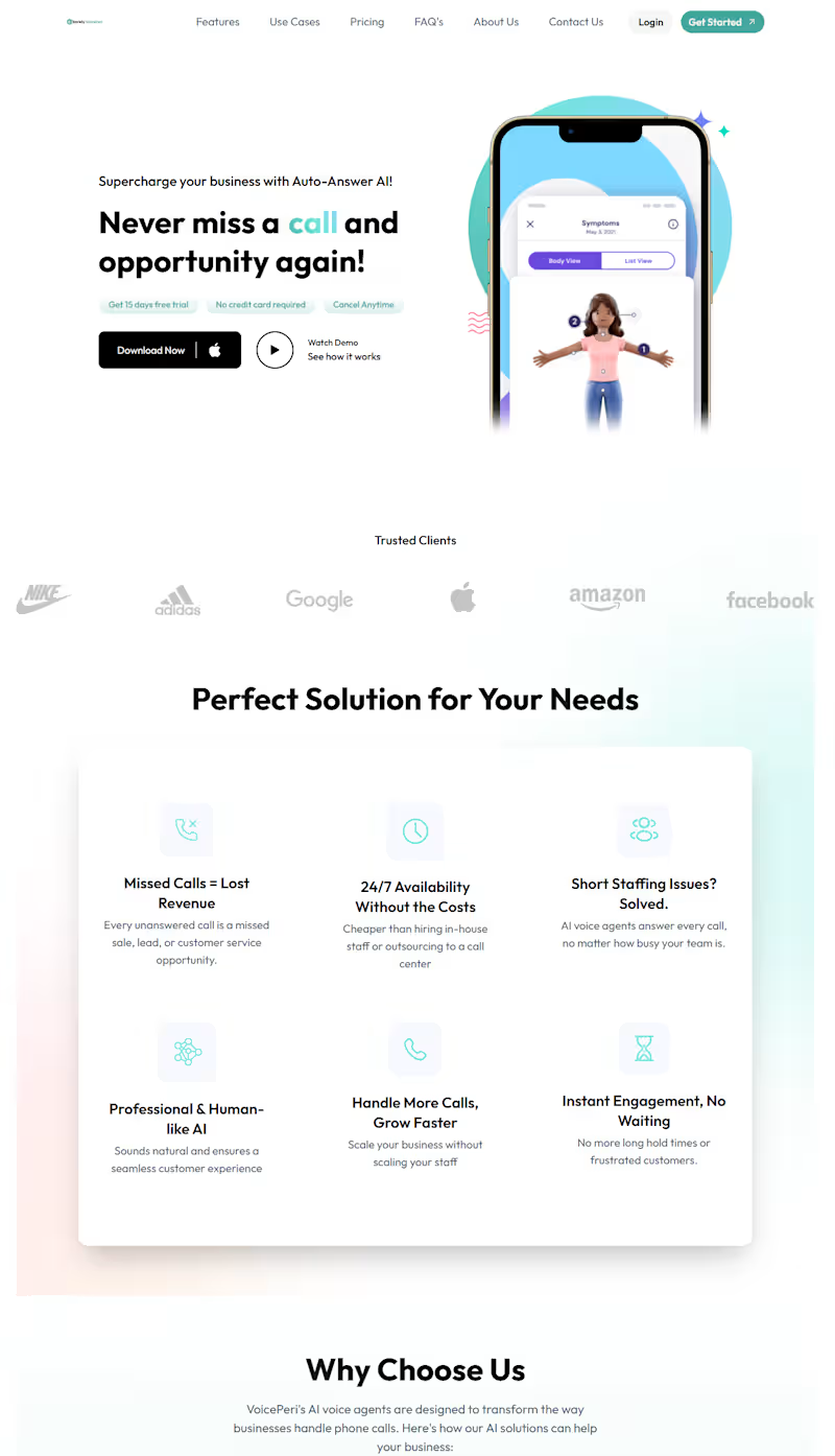
Developed Korely Voiceperi, an AI-powered voice assistant platform that enables businesses to create intelligent voice agents trained on their own business information. Built with React.js, NestJS, and PostgreSQL, the platform allows users to configure their business profile, knowledge base, and call handling preferences, allowing the AI assistant to answer customer calls with accurate, context aware responses. Implemented business onboarding, AI agent configuration, knowledge management, and real-time call workflows with a strong focus on scalability, reliability, and security. Integrated Retell AI for AI-powered voice call orchestration and ElevenLabs for high quality, natural sounding speech synthesis, delivering human-like conversational experiences and 24/7 automated customer support while reducing operational overhead. ITEC LMS – Multi-Role Learning Management System
ITEC LMS is a comprehensive Learning Management System designed to streamline academic and administrative operations through 10+ role-based dashboards. The system provides dedicated interfaces and permissions for Super Admin, Admin, Secretary, Professor, Student, Finance, Registration, Pedagogical, PAIS, and Charges teams.
It includes centralized user management, course and academic management, student records, professor workflows, financial operations, registration, permissions, reporting, and role-based access control, providing each department with the tools and access relevant to their responsibilities. Hunza Candles E-Commerce Website Description
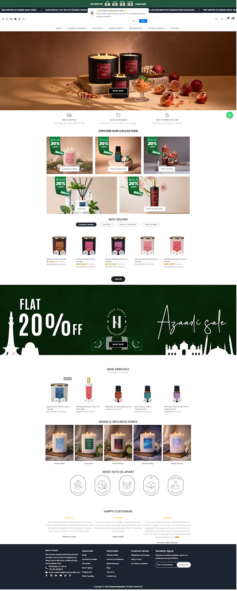
I developed a modern full-stack e-commerce website for a premium candle brand, Hunza Candles, designed to create a warm, elegant, and relaxing shopping experience. The website showcases handcrafted candles through beautiful product displays, detailed descriptions, collections, and a smooth purchasing journey.
Key Features:
🕯️ Premium candle collections
🌿 Product categories and scent-based browsing
🔍 Search and filtering
🛍️ Detailed product pages
🛒 Shopping cart and checkout
👤 User authentication and account management
📦 Order management
🧑💼 Admin product and inventory management
📱 Fully responsive design
🗄️ Database-driven backend
🔐 Secure authentication and data handling
The project demonstrates my ability to build a complete full-stack e-commerce platform, combining an attractive brand-focused frontend with backend APIs, database integration, authentication, product management, and order processing.