The network for creativity
Join 1.25M professional creatives like you
Connect with clients, get discovered, and run your business 100% commission-free
Creatives on Contra have earned over $150M and we are just getting started
Back to feedPost
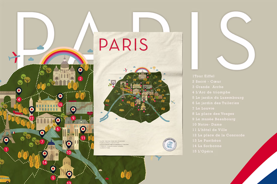
Illustrated Maps — C'est La Classe!
Illustrated maps designed for C'est La Classe!, a French language course book published by Loescher Editore — one of Italy's oldest educational publishers, founded in 1861. The project required translating complex geographic and cultural data into clear, engaging visual systems suited for secondary school students. The series includes five maps covering Paris, France, francophone countries, festivals, and French cultural stereotypes — each built in Adobe Illustrator using a consistent flat illustration language with custom-drawn icons, warm cartographic tones, and a red and navy palette referencing the French tricolore.
The network for creativity
Join 1.25M professional creatives like you
Connect with clients, get discovered, and run your business 100% commission-free
Creatives on Contra have earned over $150M and we are just getting started
Related posts
Keep your brain on fire! Brainrot has a streak mechanics that visually (and factually) rewards the most active users!
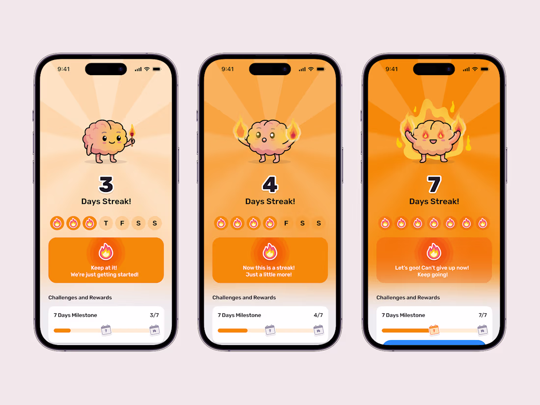
🔥🔥🔥
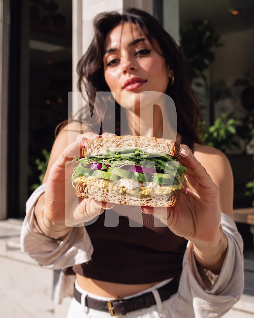
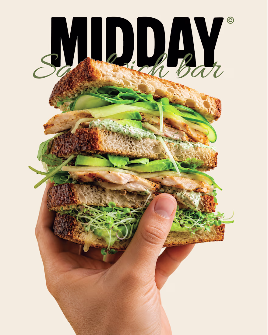
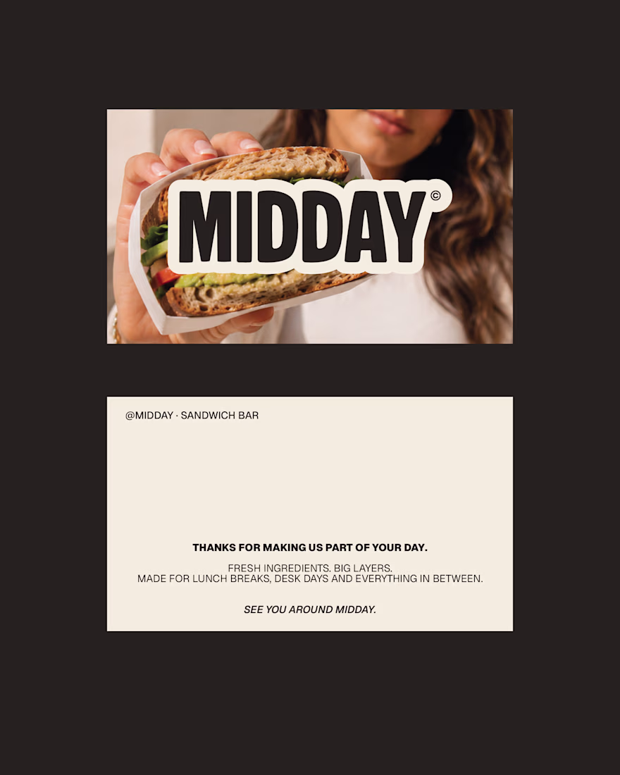
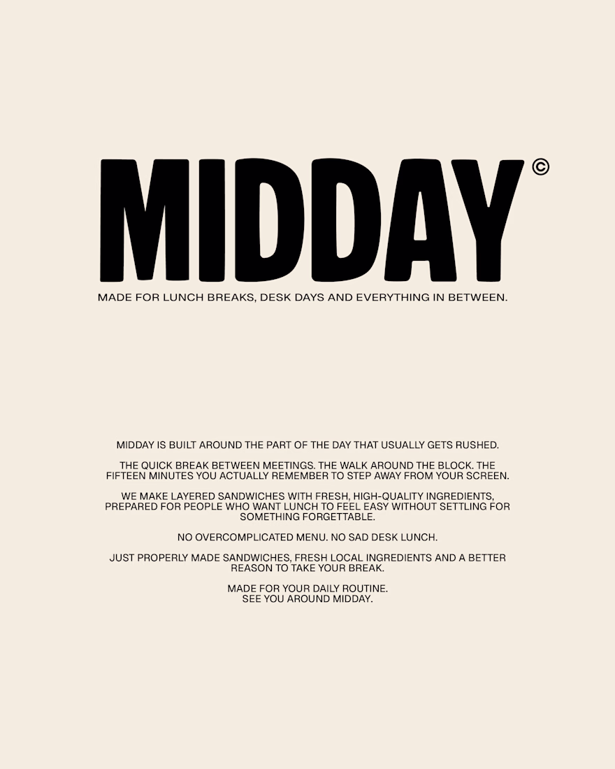
MIDDAY | Sandwich Bar Brand Identity
A self-initiated brand identity for MIDDAY, a contemporary sandwich bar built around one simple idea: everyday lunch should still feel worth looking forward to.
The identity combines bold editorial typography, warm lifestyle photography and familiar deli-inspired details to create something considered, approachable and easy to return to.
Your 12:30 deserves better.
more posts on this one in the upcoming days!
Amazing work!
Brand identity created for a Riga based dental clinic. The goal was to develop a clean, contemporary visual identity that reflects professionalism, precision, and patient trust. The project included logo design, full brand system, and supporting visual assets, creating a distinctive identity with a consistent presence across both digital and print applications.
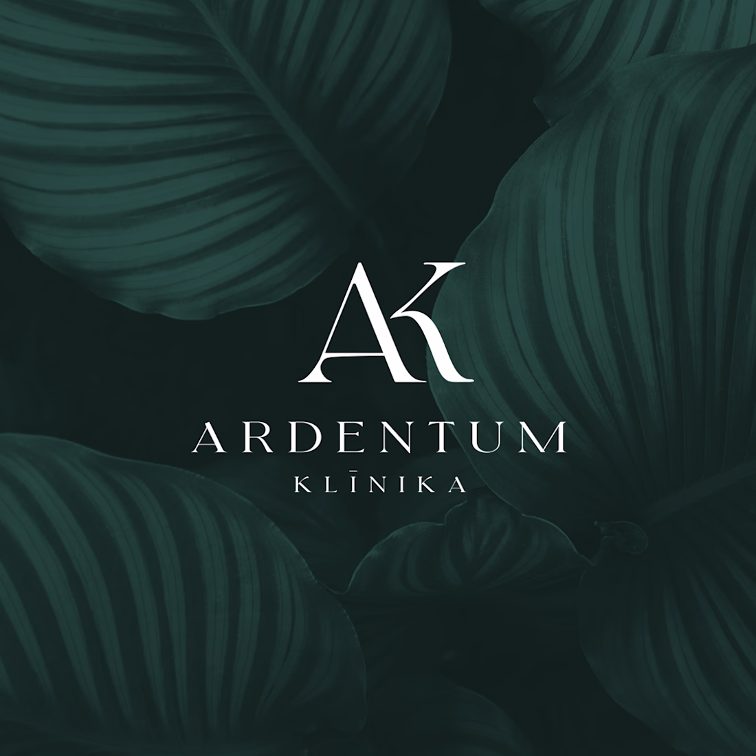
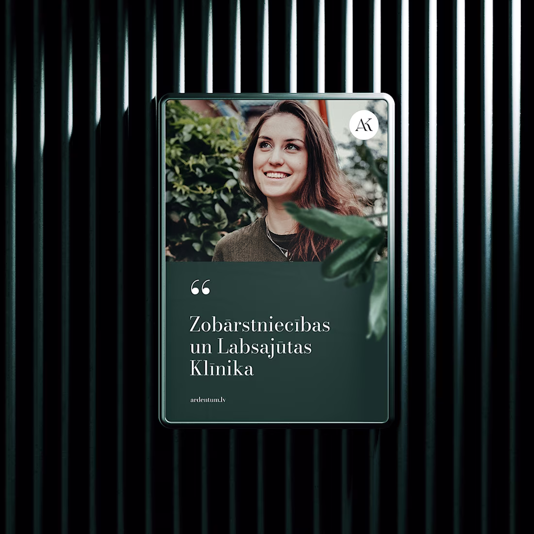
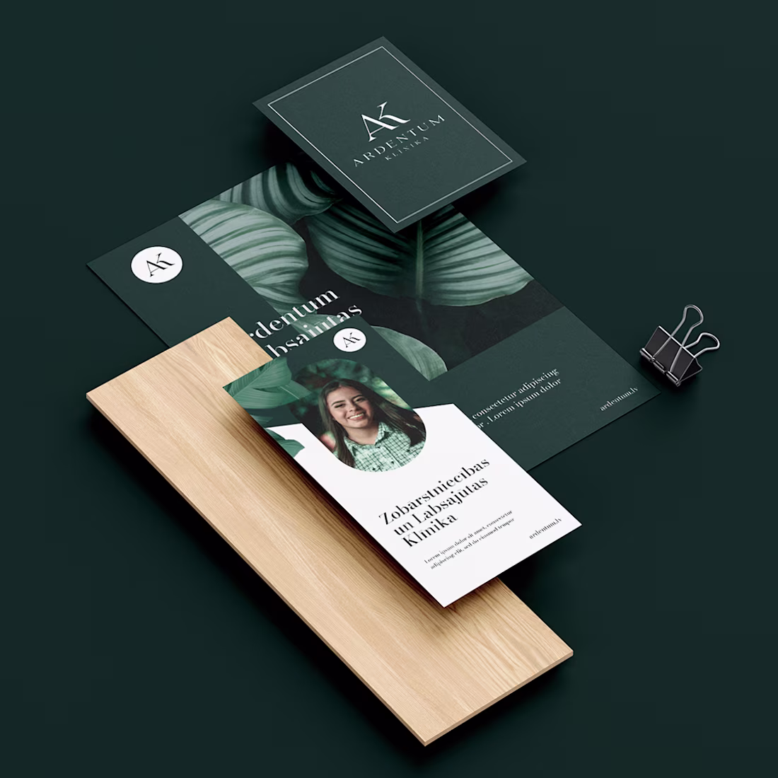
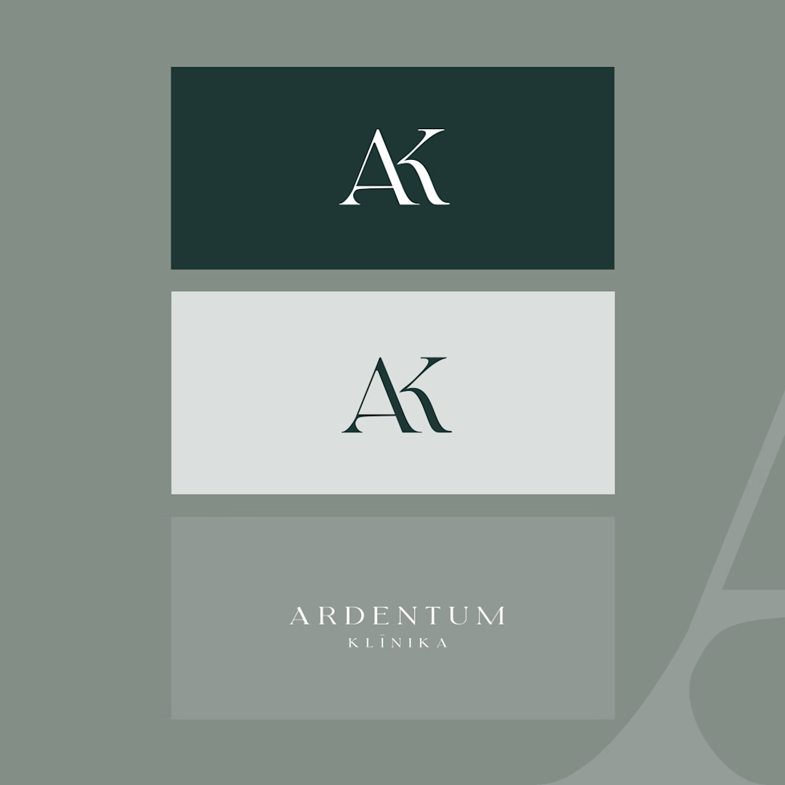
That deep green and the AK monogram feel premium without tipping into cold or clinical, hard balance to strike for healthcare branding. Did the clinic have existing brand equity you had to work around, or was this a clean slate?
Trending
Claude
Claude has entered the design space. How are you using Claude Design?
Contra University
Learn from expert creatives how to earn more using next-gen AI tools.
creativeaiflow
Creative AI workflows are evolving. What tools do you use, and what are their strengths and weaknesses?
freelancerlife
Freelancer life is wins, pivots, and everything in between. What’s yours right now?