OSM Street Map Creation
Rafi Mahmud
Like this project
Posted Oct 8, 2025
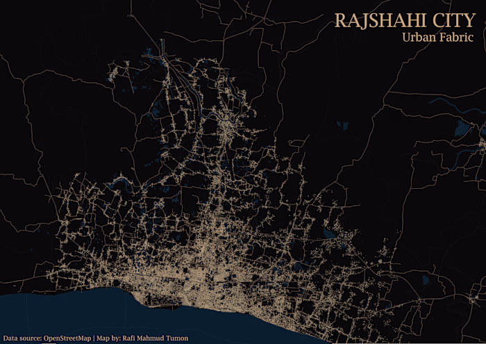
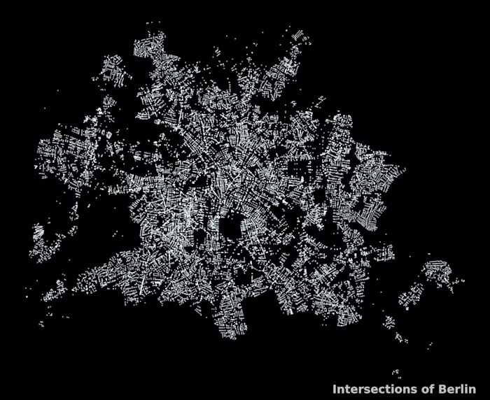
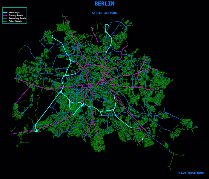
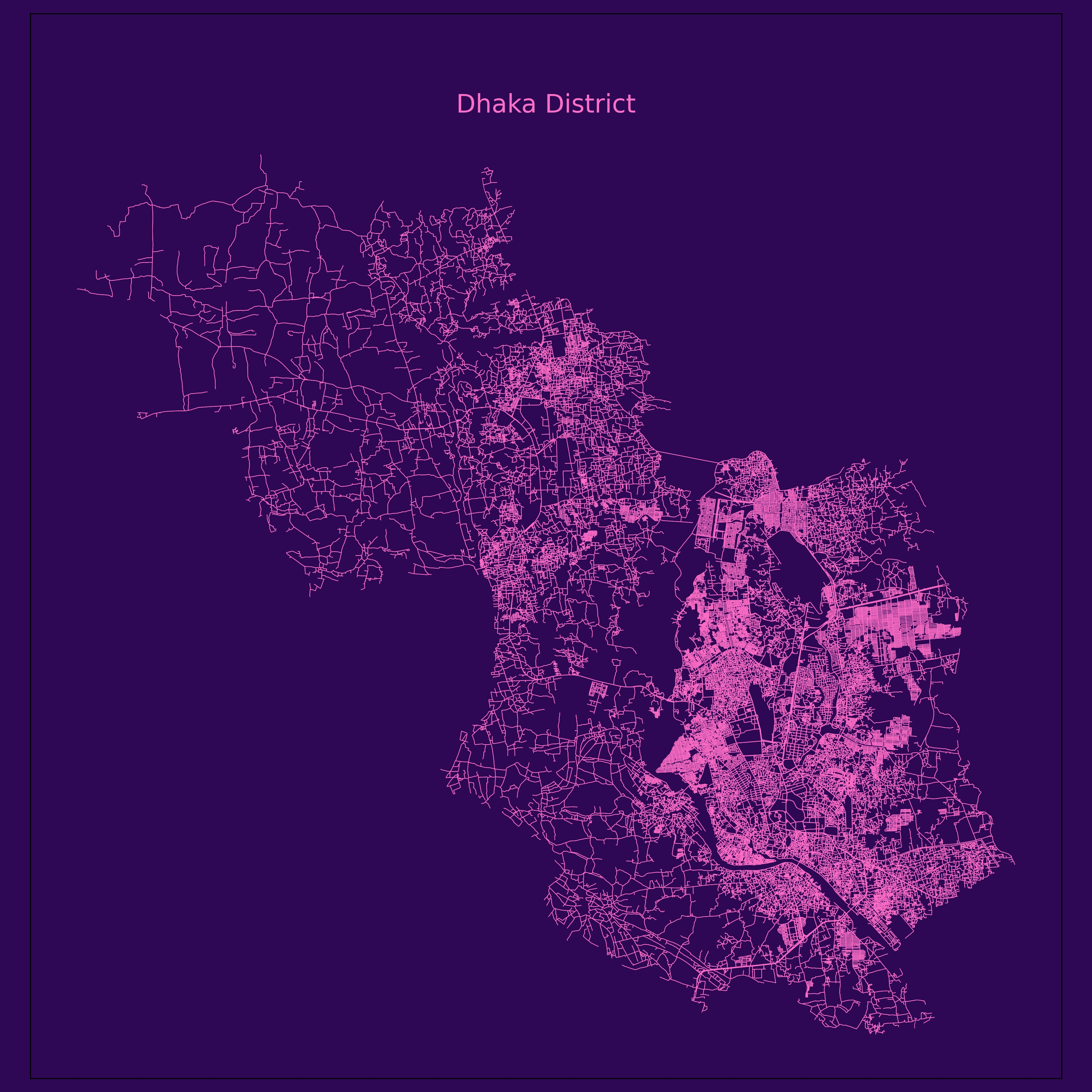
Creating Street Pattern of different cities of Bangladesh. I used osmx library of python to extract the street data. I use neon color to make attractive maps
Likes
0
Views
1
Rafi Mahmud
Posted Oct 8, 2025
Creating Street Pattern of different cities of Bangladesh. I used osmx library of python to extract the street data. I use neon color to make attractive maps
0
1