🏔️ Most organizations sit on

Emily G


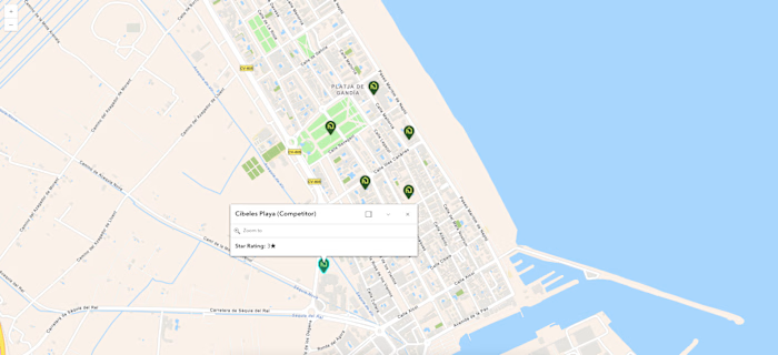
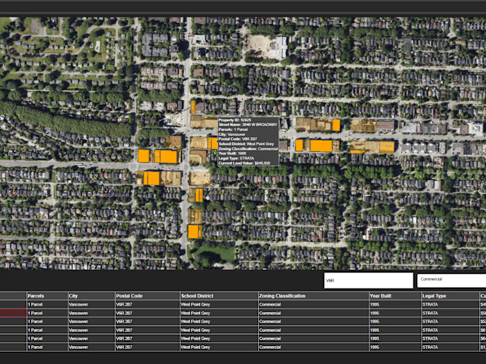
🏔️ Most organizations sit on mountains of spatial data they can't interpret fast enough. For the Census Map Application, we didn't just digitize demographic data—we built an automated spatial intelligence layer using 🤖 AI to turn raw census boundaries into real-time predictive insights 📊. Result? Decision-makers cut territory planning time from days to minutes ⚡
Like this project
Posted Oct 15, 2026
🏔️ Most organizations sit on mountains of spatial data they can't interpret fast enough. For the Census Map Application, we didn't just digitize demographic...
Likes
0
Views
0
Timeline
Oct 5, 2026 - Oct 8, 2026