Complete UAV photogrammetry and geospatial

Shaun Ducker


Complete UAV photogrammetry and geospatial processing project for a hillside property in Thailand.
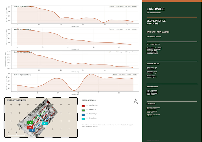
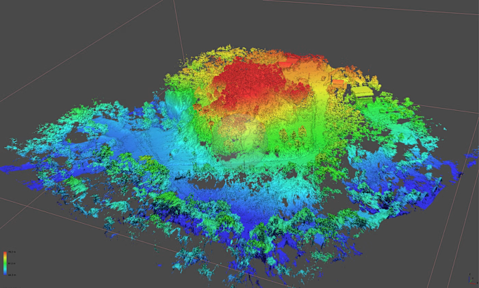
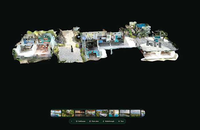
I processed 1,272 aerial images in Agisoft Metashape Professional and QGIS, producing a high-resolution orthomosaic, dense point cloud, ground-classified terrain data, DTM/DEM, 0.5 m contours, elevation analysis and a detailed 3D reconstruction.
The dataset generated more than 376 million dense points, including over 121 million ground-classified points, with mapping outputs at approximately 1 cm resolution.
The final deliverables were prepared for practical land and property analysis, with clear visual outputs showing terrain, elevation, slope and site conditions.
Like this project
Posted Aug 27, 2026
Complete UAV photogrammetry and geospatial processing project for a hillside property in Thailand. I processed 1,272 aerial images in Agisoft Metashape Profe...
Likes
0
Views
1