Freelancers using Agisoft Metashape
Freelancers using Agisoft Metashape
Sign Up
Post a job
Sign Up
Log In
Filters
1
Projects
People
Message
0
3d WebGL
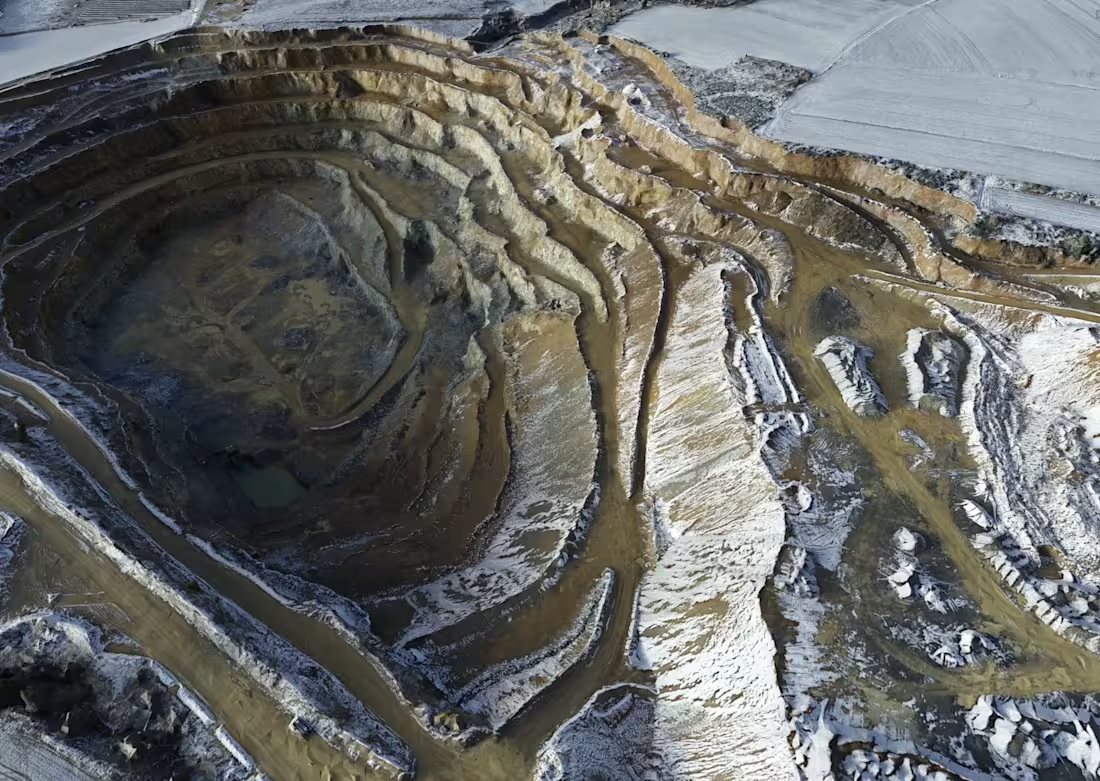
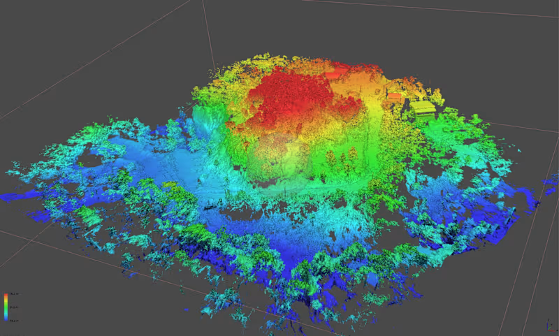
Having fun with terrain 3d scans in Blender. Little artistic flavor added to geospatial data presentation. I just like these as all sources are color calibrated and go well with any lighting.
0
296
Message
0
Shaun Ducker
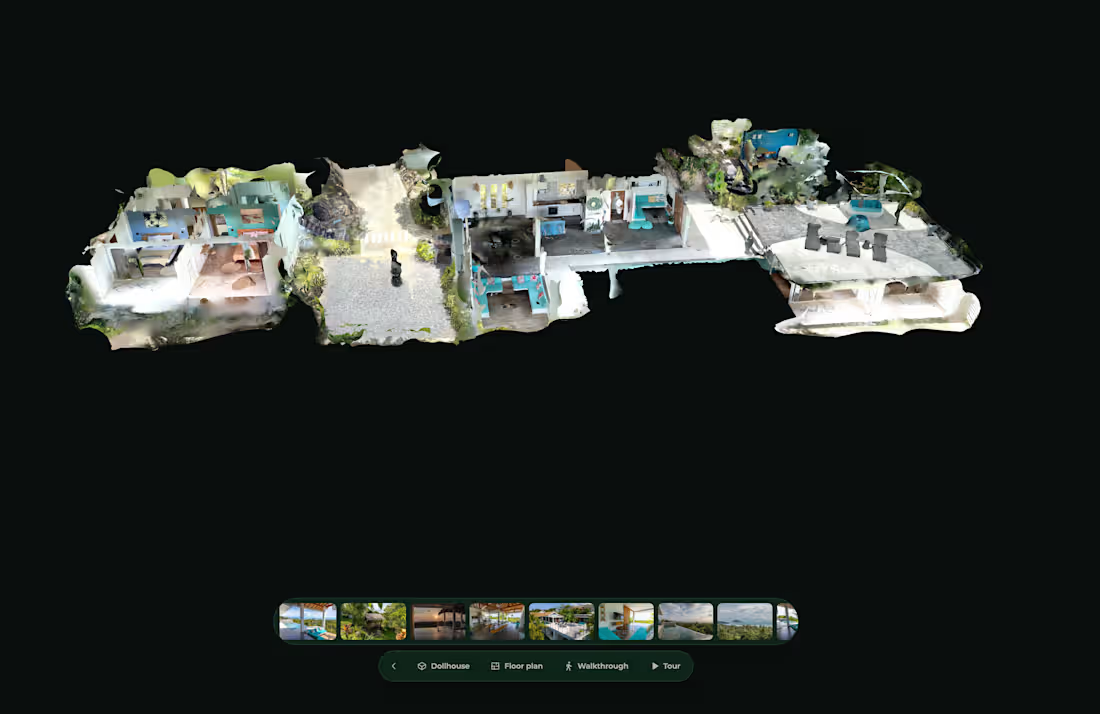
Shades of Blue is a complete property reality-capture and interactive 3D experience built for a luxury villa in Thailand. The project combined exterior drone photogrammetry, detailed 3D reconstruction and interior 360° capture into a single explorable property experience. I handled the workflow from capture and processing through to the final interactive presentation, including: • Exterior UAV photogrammetry • Detailed textured 3D property model • Interior 360° walkthrough • Spatial navigation between rooms • Floor-plan and dollhouse-style views • Terrain and surrounding landscape context • Optimisation for an interactive web-based property viewer The goal was to let potential buyers and clients understand the entire property remotely — both inside and outside — in a way that standard photography cannot.
0
15
Message
0
Sadaqat Ali
Created a 3D urban parking facility model for a city development project, showcasing efficient parking layouts, traffic circulation, and public accessibility. The visualization supported urban planning, infrastructure design, and decision-making processes.
0
66
Message
0
António Maria Oliveira Martins
António Martins - Design - ARCOPÉDICO
0
2
Message
15
3d WebGL
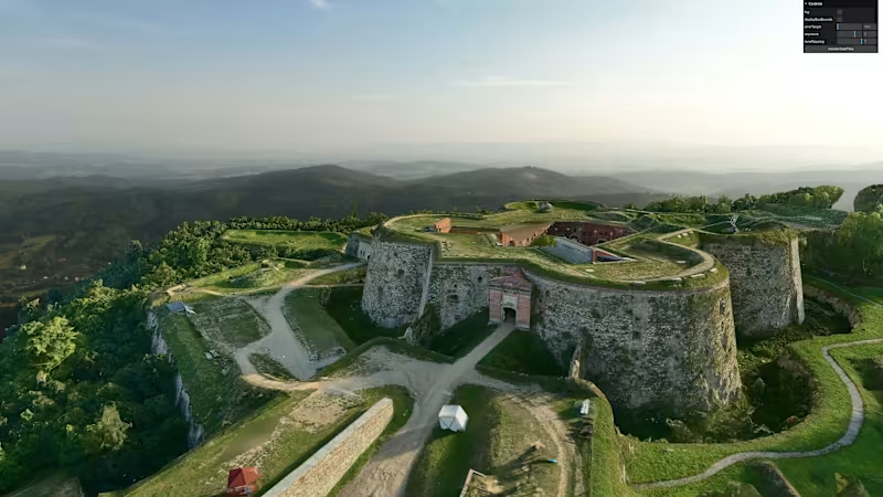
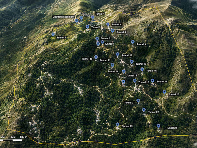
17th-Century Fortress – UAV 3D Scanning & Web-Based Virtual Experience A historic fortress from the Napoleonic Wars era was captured using UAV-based photogrammetry and reconstructed into a detailed 3D model, including the full terrain and surrounding landscape to preserve historical context. The interactive virtual experience is delivered directly in a web browser and is built using open-source technologies from NASA’s AMMOS (Advanced Multimission Operations System), adapted for real-time exploration of cultural heritage sites.
15
470
Message
0
Shaun Ducker
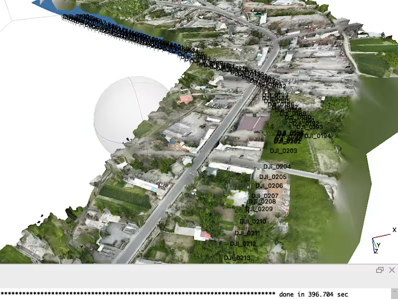
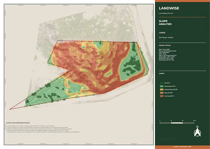
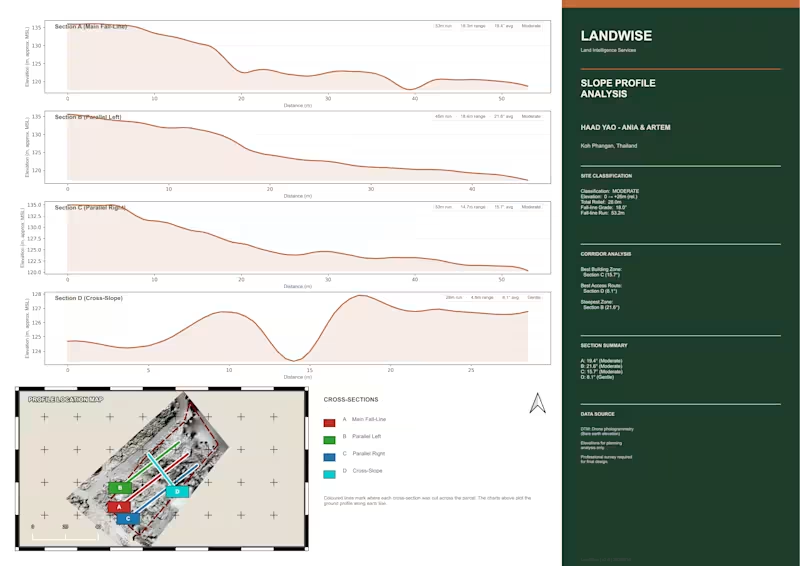
Complete UAV photogrammetry and geospatial processing project for a hillside property in Thailand. I processed 1,272 aerial images in Agisoft Metashape Professional and QGIS, producing a high-resolution orthomosaic, dense point cloud, ground-classified terrain data, DTM/DEM, 0.5 m contours, elevation analysis and a detailed 3D reconstruction. The dataset generated more than 376 million dense points, including over 121 million ground-classified points, with mapping outputs at approximately 1 cm resolution. The final deliverables were prepared for practical land and property analysis, with clear visual outputs showing terrain, elevation, slope and site conditions.
0
21
Message
0
Sadaqat Ali
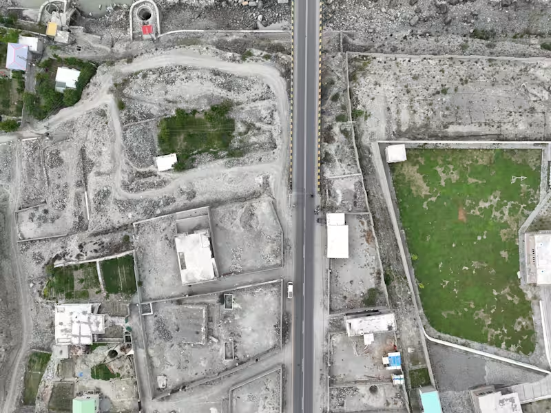
Developed a high-resolution 3D road corridor model using GIS and terrain data to visualize road alignment, elevation profiles, and surrounding landscapes. The project delivered realistic engineering-grade visualizations for planning, stakeholder presentations, and project documentation.
0
66
Message
0
3d WebGL
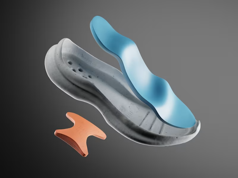
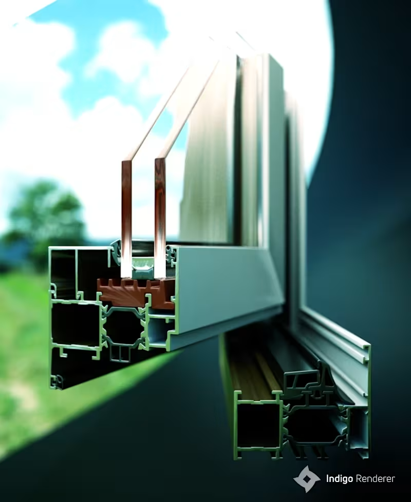
Product renderings of aluminium window systems, created end-to-end with custom 3D modeling and HDRI lighting.
0
270
Message
0
Shaun Ducker
Complete UAV photogrammetry and geospatial processing project for a hillside property in Thailand. I processed 1,272 aerial images in Agisoft Metashape Professional and QGIS, producing a high-resolution orthomosaic, dense point cloud, ground-classified terrain data, DTM/DEM, 0.5 m contours, elevation analysis and a detailed 3D reconstruction. The dataset generated more than 376 million dense points, including over 121 million ground-classified points, with mapping outputs at approximately 1 cm resolution. The final deliverables were prepared for practical land and property analysis, with clear visual outputs showing terrain, elevation, slope and site conditions.
0
22
Message
0
Sadaqat Ali
Geospatial Analyst & 3D Modeling Specialist for Infrastructure, Mining & Urban Development
0
76
Message
0
3d WebGL
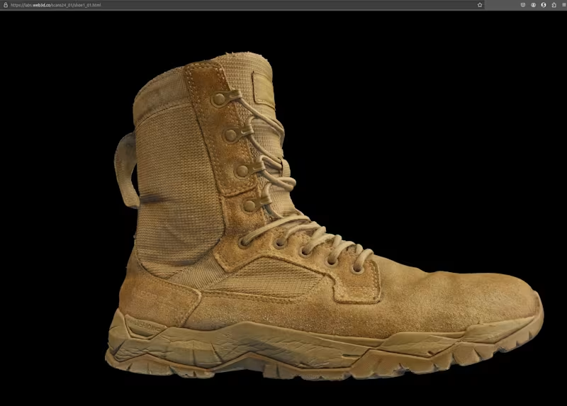
Small 3D proof-of-concept demonstrating object scanning and photogrammetry using cross-polarized lighting. Focused on achieving sub-millimeter detail and high-quality surface reconstruction for Web-based 3D applications. This time without configuration or interactivity.
0
173
Message
0
Shaun Ducker
Complete UAV photogrammetry and geospatial processing project for a hillside property in Thailand. I processed 1,272 aerial images in Agisoft Metashape Professional and QGIS, producing a high-resolution orthomosaic, dense point cloud, ground-classified terrain data, DTM/DEM, 0.5 m contours, elevation analysis and a detailed 3D reconstruction. The dataset generated more than 376 million dense points, including over 121 million ground-classified points, with mapping outputs at approximately 1 cm resolution. The final deliverables were prepared for practical land and property analysis, with clear visual outputs showing terrain, elevation, slope and site conditions.
0
33
Explore projects