Heat map of 95 heating plants from OpenStreetMap

Flow Lab


Task. A company with hundreds of sites needs to see at a glance where they cluster, and to find the details of one site in seconds, on a laptop or a phone.
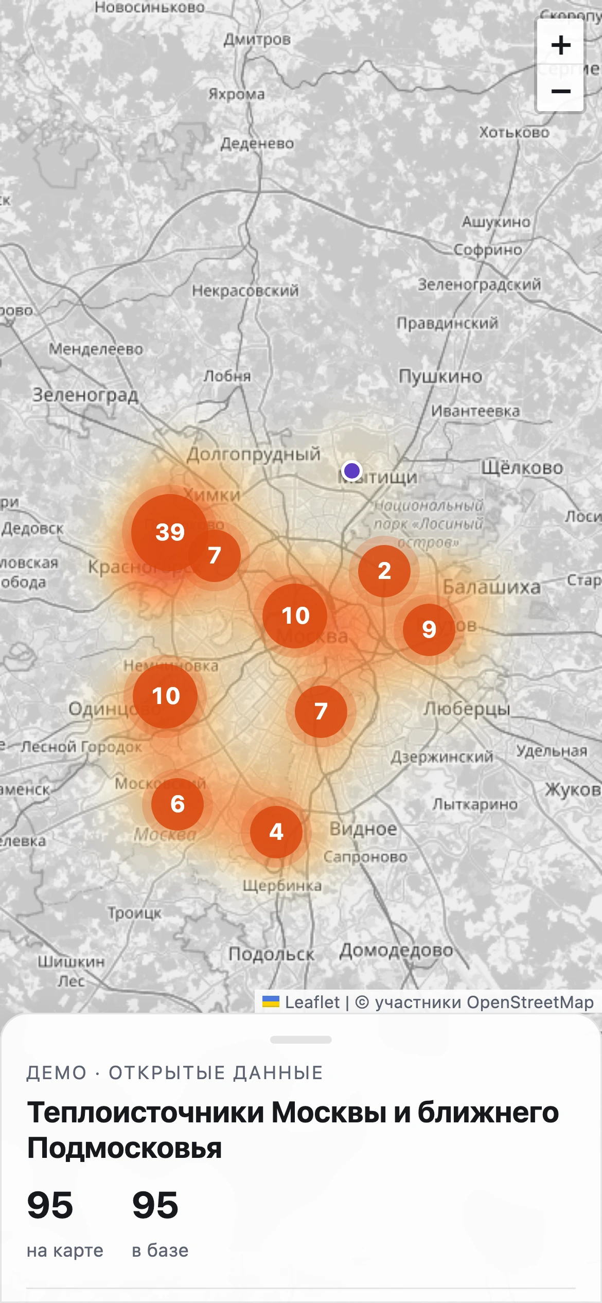
Solution. The map runs on Leaflet with a density heat layer. As you zoom out, sites group into clusters with a count; a click opens a card with the type, operator, address, fuel and a link to the object in OpenStreetMap. Filters by type and a search by name, operator or street narrow the map down.
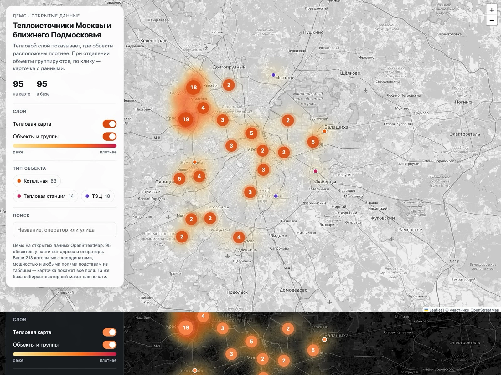
Result. The demo holds 95 heating plants of Moscow and the nearby region: 63 boiler houses, 14 heat stations and 18 combined heat and power plants, from OpenStreetMap open data. Some objects in the open data have no address or operator. It works on phones, with light and dark themes.
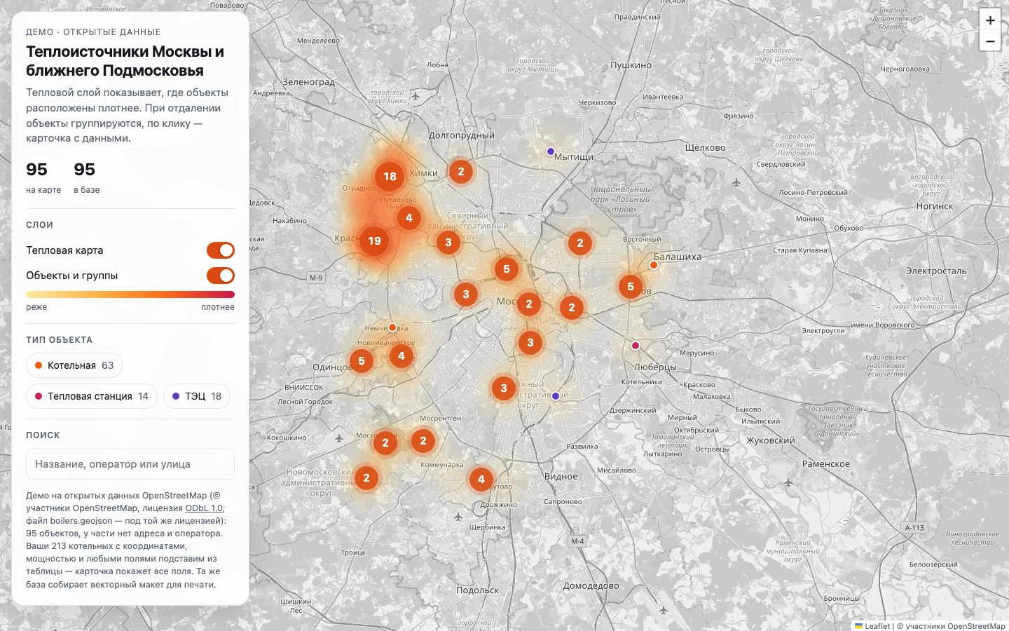
In a real project your own table with coordinates goes in instead of the open data, and the card shows the columns you need. Monthly support is available for data updates and new layers.
Live demo: https://flowlab-dev.github.io/demo/boiler-map/
Case page: https://flowlab-dev.github.io/work/boiler-map/
Like this project
Posted Sep 26, 2026
A density heat layer, clusters and data cards for 95 heating plants from OpenStreetMap. Works on phones, with light and dark themes.
Likes
0
Views
8