
About the project
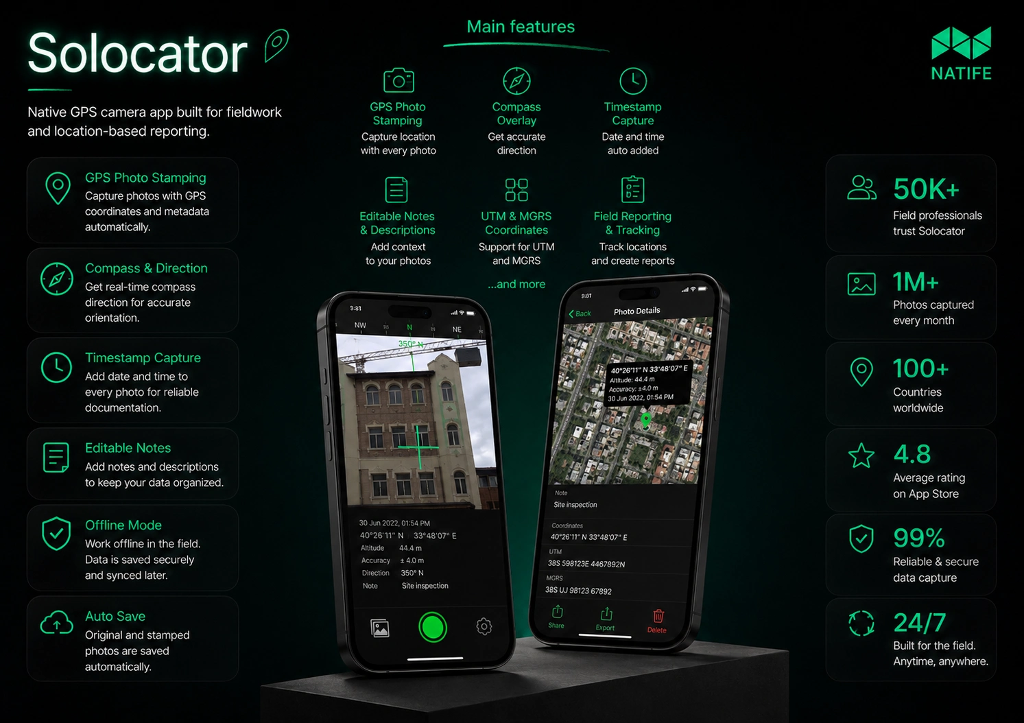
Solocator is a GPS camera app for fieldwork and photo documentation. It adds location, compass direction, altitude, date, and time directly to photographs, helping users keep the context of each shot.
The app supports practical tasks such as documenting site visits, inspections, and project progress.
Our contribution
Our team at Natife worked on mobile application development for Solocator. The scope connected camera functionality, GPS positioning, compass data, map views, and in-app purchases.
The mobile experience brings photo capture and location information together, so users can document what they see and where they see it.
Key features
Camera integration with location overlays.
GPS coordinates and map views.
Compass direction and altitude information.
Date and time stamps on photographs.
Editable project names and photo descriptions through the Industry Pack.
Street addresses and UTM/MGRS coordinate formats.
In-app purchases for additional fieldwork features. The result
Solocator turns photographs into contextual records for fieldwork. Users can capture images with geographic information and add project notes for later reference and reporting.
Building a location-based or fieldwork app?
Let’s discuss your camera features, sensor integrations, and mobile development requirements.
0 likes · 1 view · Nov 18, 2026
Mobile development for Solocator, a GPS camera app with location-stamped photos, compass data, map views, field notes, and in-app purchases.


