GIS Web Viewer
Pedro Caetano
Had the pleasure on working on a 3 year project developing a product + service B2B, for a GIS Web Viewer. Albeit having a small team, we were able to create an SPA that connections with a GIS server providing beautiful maps of the Netherlands and many view/edit features.
We offer a customizable website product tailored for businesses, allowing each client to personalize their instance to meet their unique needs
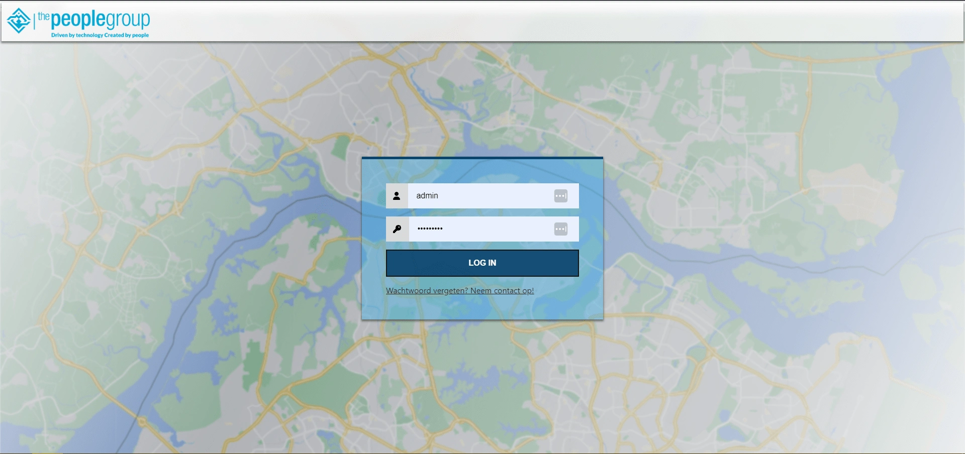
There were authentications for admins and conventional users, a palette of colors and layouts that clients could setup as they wish to follow their own branding.
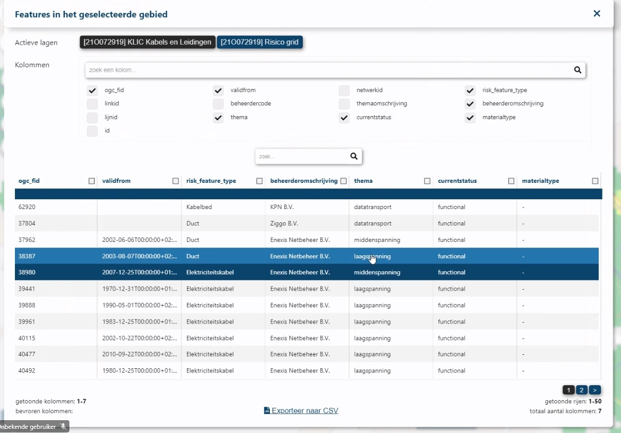
Customizable tables that fit the data
As a product, our clients could setup everything as they wish but ultimately they would use our devOps service to tailor the experience to their data and their general needs.
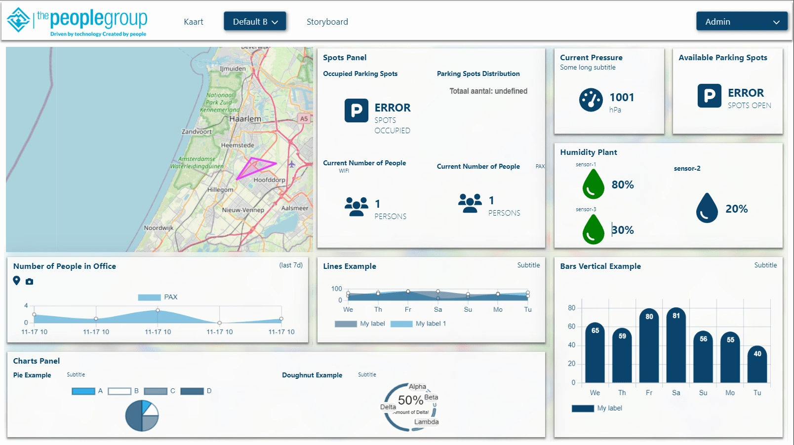
Detailed and custom dashboards overlaying the map area.
Besides a normal map page, there were interactive options where a map could be displayed alongside charts and graphs with real-time live updates of the data that it represents. Tooltips and local modal components allowed for more detailed visualization.
Multiple options for map viewing and editing are available as a dropdown menu, such as: zooming, group selecting, drawing, measuring distances and areas, search for GPS location, screenshot printing and even downloading GIS data as a CSV.
Toolkit for map view and editing
To handle the detailed configurations for this website, we also made a backoffice to handle multiple clients' instances of our product.
Backoffice example
Like this project
Posted Jul 10, 2024
Map Web Viewer. App service of a GIS Web Viewer, made in React, Node, Azure DevOps and using Geoservice as a 3rd party geospatial data provider. Lead frontend.
Likes
0
Views
22
Clients
The People Group