Territorial Control Dashboard

Juan Ordoñez


The problem
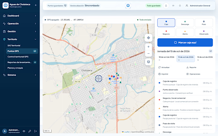
Supervisors had tens of thousands of GPS points from the field but no clear way to see coverage, data quality, or where irregular water connections were concentrated.
The solution
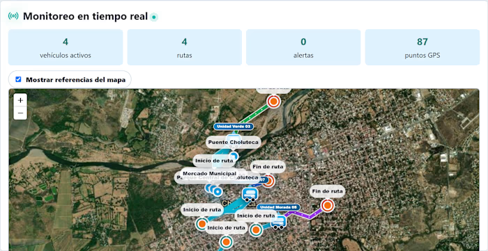
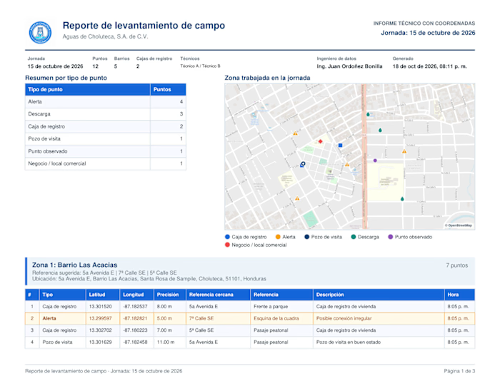
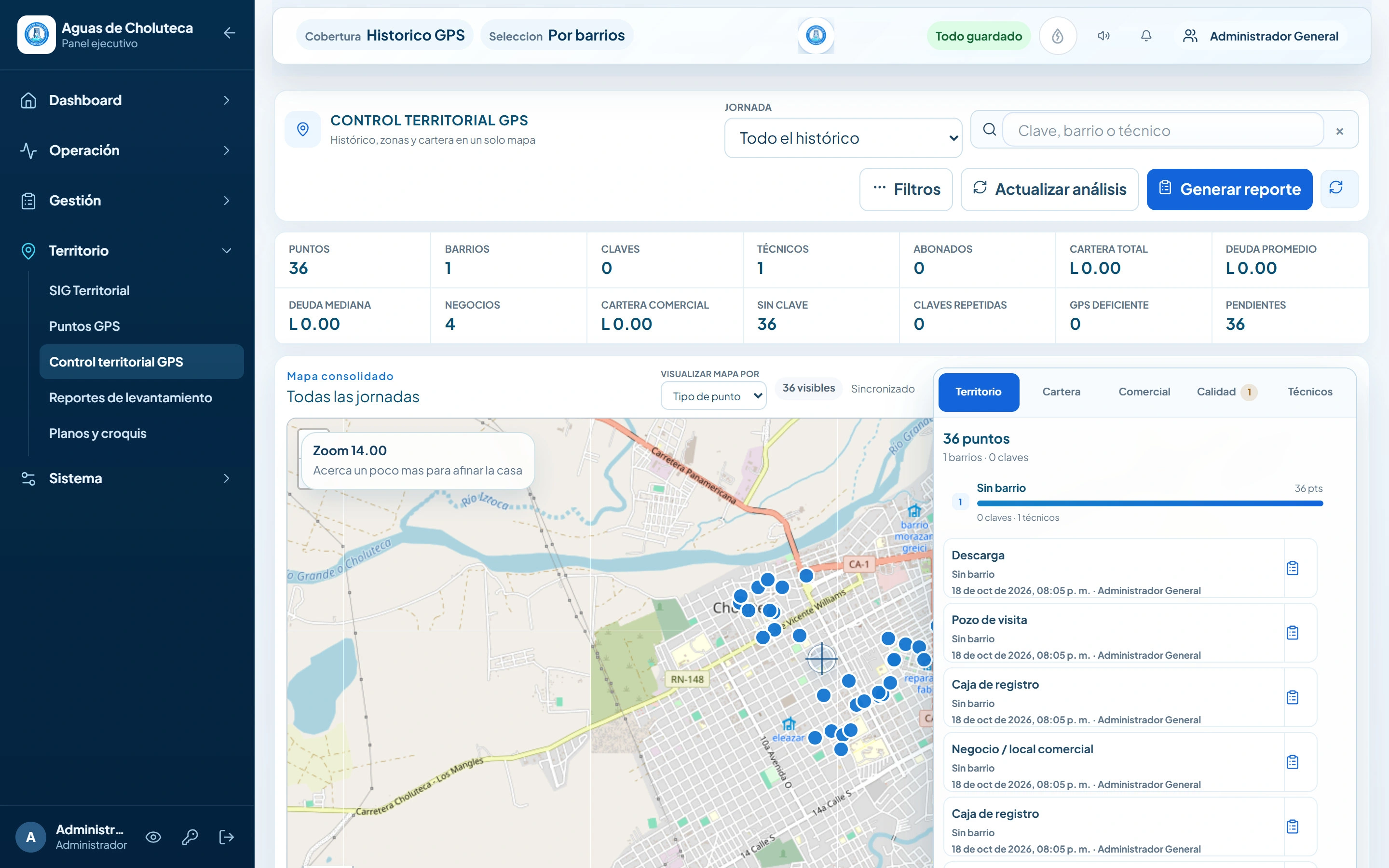
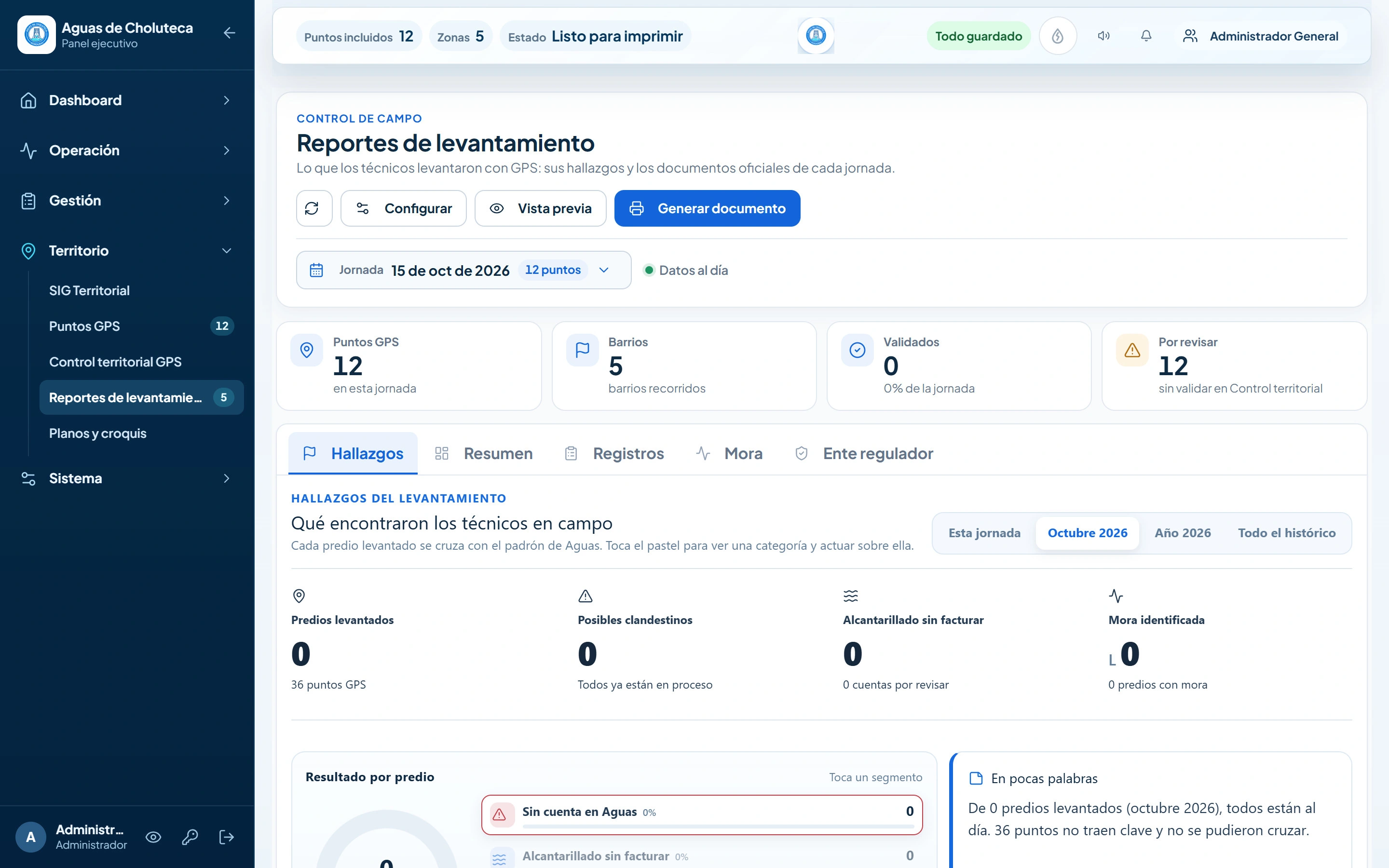
A consolidated map with analytics for every workday: points by type and neighborhood, technician activity, data-quality checks (missing account codes, duplicates, weak GPS) and cross-checks against the customer registry. Filters, search by account or neighborhood, and one-click reports for management.
Results
Around 400 illegal (unregistered) water connections identified
35,000+ field points reviewed on a single map
Statistical charts and indicators ready for management meetings
Stack: React, Leaflet / MapLibre, Node.js / Express, MySQL.
Like this project
Posted Oct 19, 2026
Map and analytics of every GPS workday that helped identify ~400 illegal water connections, with stats charts, data-quality checks and filters.
Likes
0
Views
0