Automated PDF Field Reports

Juan Ordoñez


The problem
After every workday, field reports were put together by hand in Word and Excel: copying coordinates, drawing maps and counting points one by one.
The solution
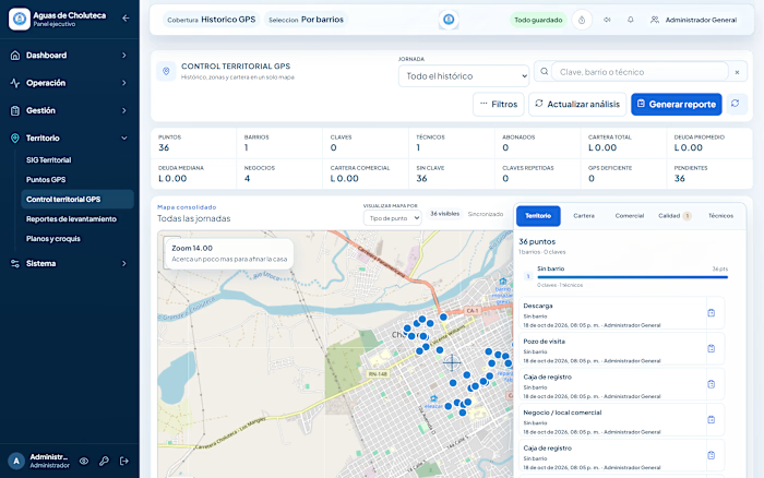
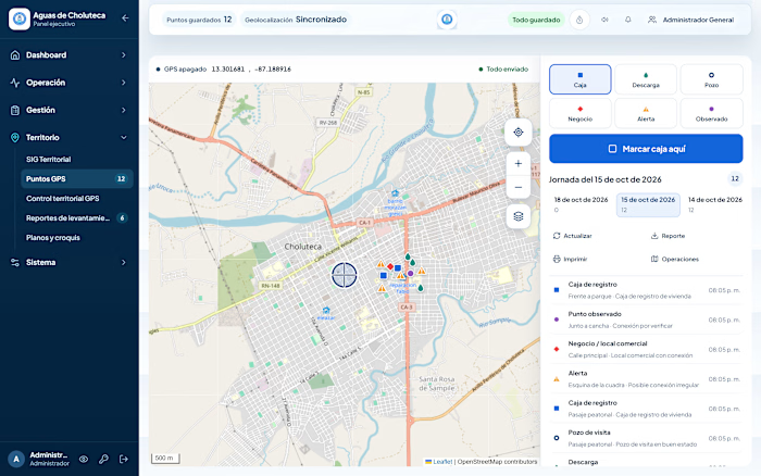
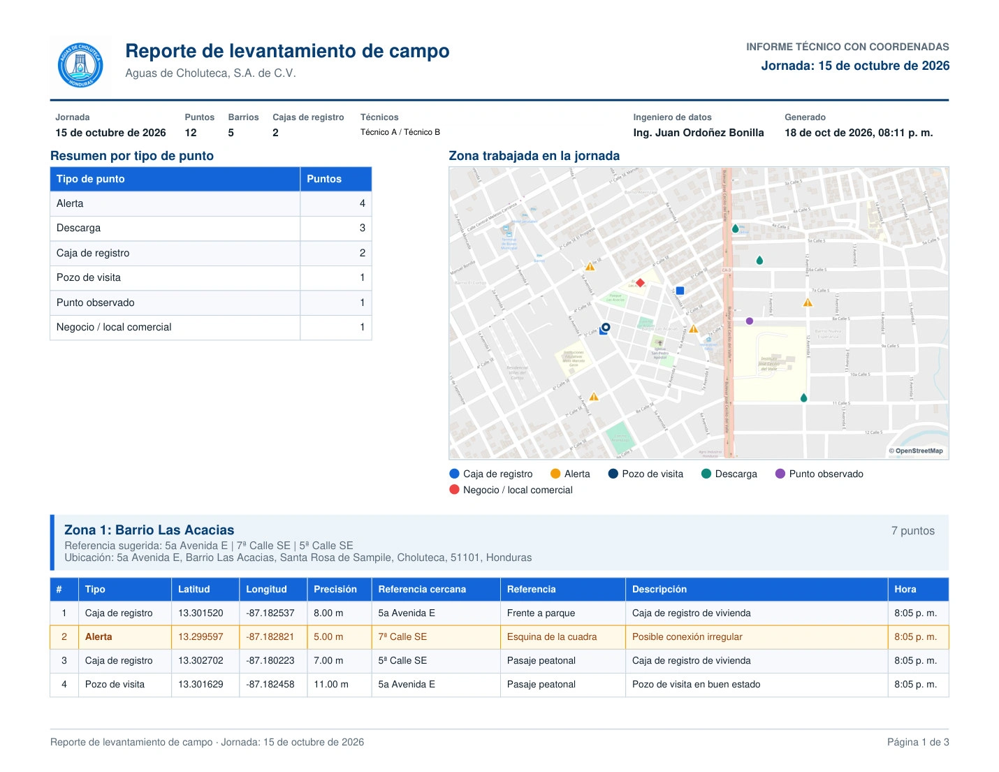
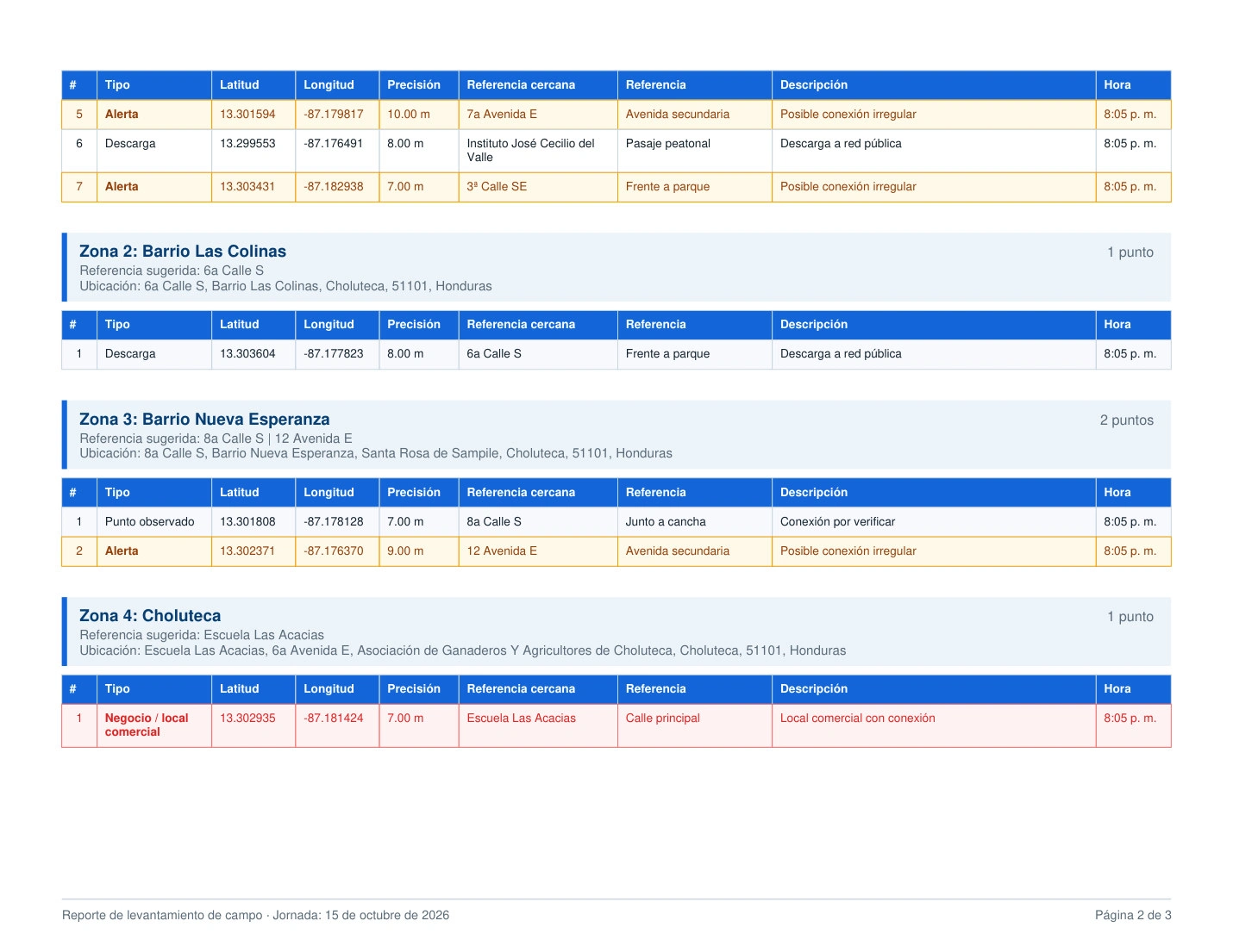
One click generates the official report straight from the GPS data: summary by point type, a map of the worked area drawn from the points, zones with the nearest street references, coordinates and GPS accuracy, page numbers and support for several workdays in one document. The same data exports to Excel and to coordinate files.
Results
PDF and Excel reports generated automatically instead of by hand
Coordinate exports and coordinate reports for engineering and regulators
Statistical charts included for management
Stack: JavaScript, jsPDF, jsPDF-AutoTable, ExcelJS, map tiles, Node.js / Express.
Like this project
Posted Oct 19, 2026
PDF, Excel and coordinate reports generated from GPS data: map of the worked area, zones with street references, stats charts and multi-day support.
Likes
0
Views
0