
One of the most interesting shifts in AI right now:
Real estate AI systems are only as smart as the spatial data behind them.
Just wrapped up a GeoAI-oriented automation project for large-scale parcel intelligence in Australia.
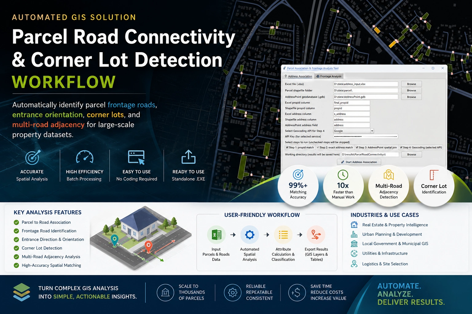
Built a standalone workflow that automatically detects:
→ frontage roads
→ corner lots
→ parcel orientation
→ multi-road adjacency
→ spatial access relationships
The interesting part wasn’t the GIS itself.
It was converting messy spatial relationships into structured knowledge that downstream AI systems can actually understand.
A lot of “AI for real estate” conversations focus on LLMs.
But the real bottleneck is often:
How do you turn geography into machine-readable reasoning context?
Ended up packaging the entire workflow into a production-ready executable app for non-technical teams, with batch processing + configurable spatial rules.
Feels like we’re moving from:
“mapping data” to “building spatial reasoning infrastructure.”
#GeoAI #PropTech #SpatialComputing #Automation #GIS #AIInfrastructure
0 likes · 0 views · May 15, 2026
One of the most interesting shifts in AI right now: Real estate AI systems are only as smart as the spatial data behind them. Just wrapped up a GeoAI-oriente...
Timeline
Apr 20, 2026 - May 12, 2026

