Can satellite machine learning tell

Rohma Shakoor


Can satellite machine learning tell a felled forest from a harvested field? 🛰️
At 10 metres, the answer is: only if your feature stack and your validation are built for it.
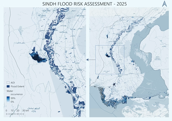
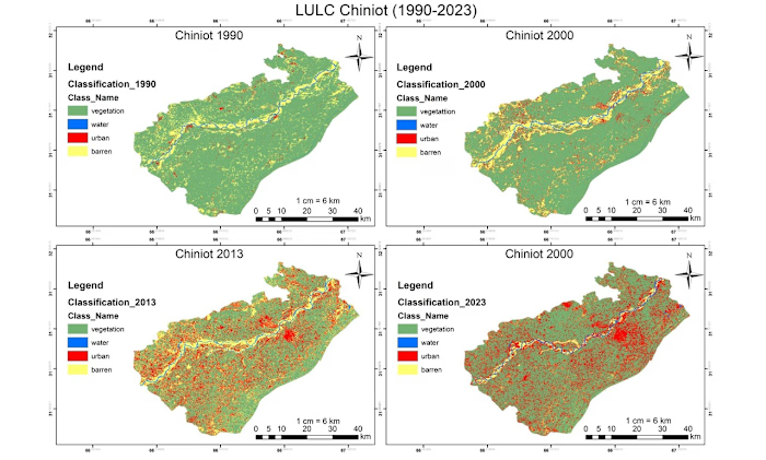
Most land-cover maps break at exactly this problem — forest loss and agricultural cycles look similar in a single image. So I built an end-to-end GeoAI system that separates them properly, from raw Sentinel-2 telemetry to an interactive cloud-native app on Google Earth Engine.
How the pipeline was engineered:
🔹 Data ingestion & atmospheric preprocessing
Harmonized Sentinel-2 Level-2A surface reflectance (10–20m) across multi-temporal epochs (2017 vs 2023), with rule-based cloud and shadow masking using the Scene Classification Layer (SCL).
🔹 Multi-spectral feature engineering
Beyond standard VNIR bands, a 10-dimensional feature stack — NDVI (canopy vigor), MNDWI (hydrological discrimination), NDMI (canopy moisture, B8 + B11), NBR (disturbance sensitivity, SWIR-2 B12).
🔹 Supervised ML & validation
100-tree Smile Random Forest with stratified random sampling referenced to ESA WorldCover v200. Performance reported through confusion matrices, Overall Accuracy, and Cohen's Kappa — not just a pretty map.
🔹 Interactive split-map deployment
A synchronized ui.SplitPanel with a docked analytics dashboard, live class legends, and non-blocking client-side statistics via evaluate() — stakeholders can explore change without touching GIS software.
Why this matters to the people who need it:
Conservation and REDD+ teams need defensible deforestation evidence. Urban planners need land-use change they can rerun. Agri-tech and environmental consultancies need a reproducible baseline fast. That's who this workflow is built for — and why every deliverable ships with a methodology report and a rerunnable script, not a dead static PDF.
Working on land-cover change, forest monitoring, or LULC classification in GEE? Send me your area of interest and time range — I'll tell you within 24 hours whether Sentinel-2 can answer your question, and what the workflow would involve.
Like this project
Posted Oct 27, 2026
Can satellite machine learning tell a felled forest from a harvested field? 🛰️ At 10 metres, the answer is: only if your feature stack and your validation a...
Likes
0
Views
0