Projects using Openlayers
Projects using Openlayers
Sign Up
Post a job
Sign Up
Log In
Filters
1
Projects
People
Message
0
Richard Donohue
Geomockery: AI-Powered Geospatial Data Generator
0
19
Message
0
Yong Zhang
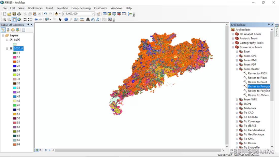
20M+ Spatial Data Architecture & Web Mapping Performance Reworked a GIS data pipeline after the existing map architecture could no longer handle 20M+ spatial features effectively. I redesigned the storage, map-service and front-end access layers around PostgreSQL/PostGIS, GeoServer and WMS, covering data management, service publishing, layer rendering, feature queries and spatial analysis. I also isolated GIS preprocessing, analysis and rendering behind clear interfaces so regular front-end and back-end developers could work against stable contracts without depending on GIS internals.
0
37
Message
0
Andreas Smidelöv
pro
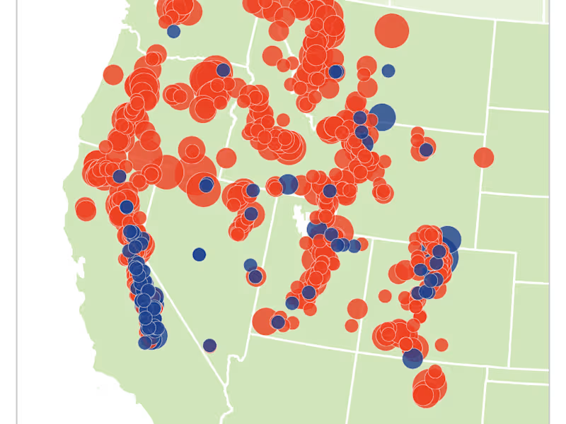
Geographic Entity Management for Wildlife Compliance
0
15
Message
0
Anees Sohail
As part of the team at Sevrin Limited, I worked on Dialog, a stakeholder engagement platform developed for a Netherlands-based organization. The platform provides a centralized environment for managing stakeholder information, interactions, activities, and engagement data. It includes interactive mapping capabilities that help visualize and manage location-based stakeholder information. The system brings stakeholder data and engagement activities together, making complex information easier to track, access, and manage. Working collaboratively with the team, I contributed to building and improving functionality for a real-world platform focused on effective stakeholder engagement.
0
68
Message
0
Rabbani Rasha Alvy
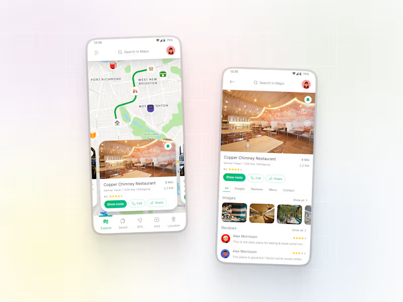
Maps App UI Design
0
2
Message
0
Yong Zhang
Telecom Facility Inspection & GIS Management Platform Turned an open-ended request — how to combine field inspection, check-ins and GIS — into an implementable Web + mobile system. I mapped real operating workflows, management goals, staff routes, scheduling, task dispatch and completion loops, then defined responsibilities across Web/mobile, GIS data, map services, APIs and feature scope. I also worked with the project manager to break the GIS scope into executable development tasks and delivered the core GIS capabilities.
0
40
Explore projects