Graphic Design Projects in Tamil Nadu
Graphic Design Projects in Tamil Nadu
Sign Up
Post a job
Sign Up
Log In
Filters
2
Projects
People
Message
21
Praveen N
pro
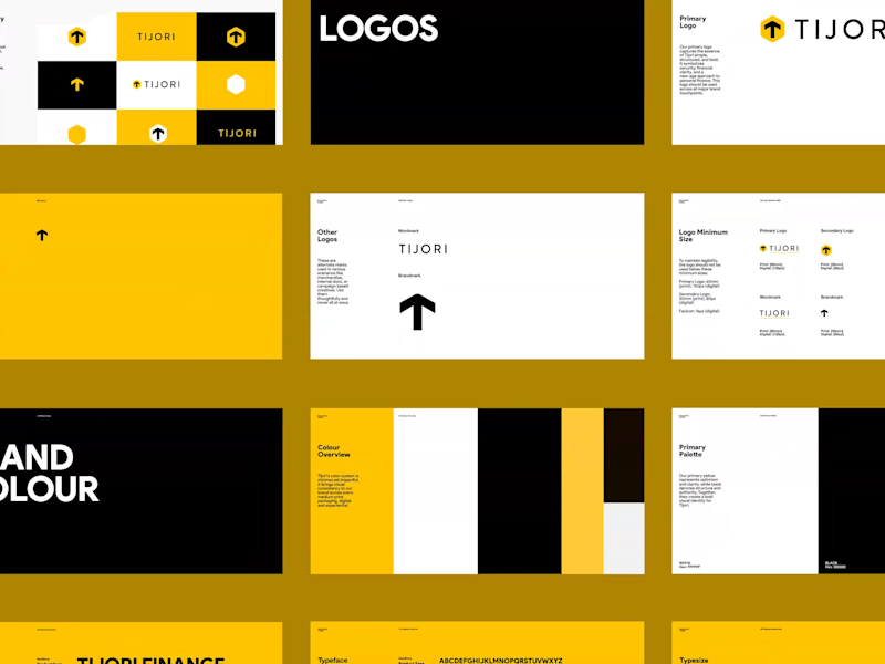
Tijori Branding and Logo Redesign
2
21
248
Message
0
RaDe Creatives
pro
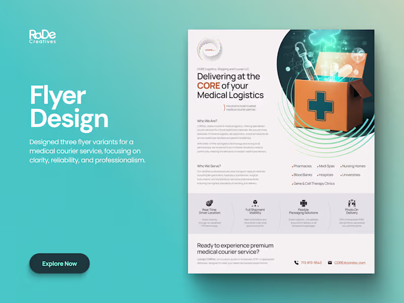
Medical Courier Flyer Design for a Healthcare Startup
0
30
Message
0
MELD
Logofolio | vol 1
0
12
Message
0
benjamin stanly
pro
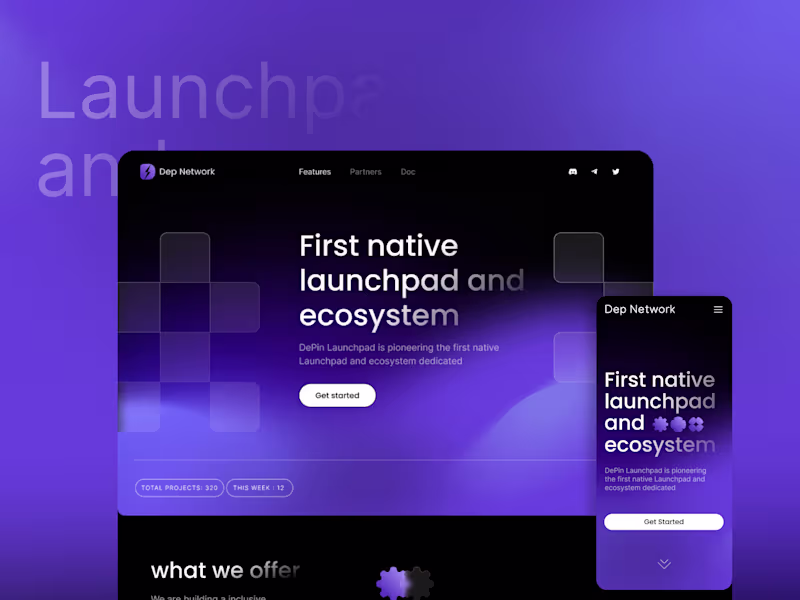
Web3 Landing page & Branding
0
12
Message
4
Picto Design Studio
pro
Good reels are watched. Great ones are remembered. Most aren’t. We recently collaborated with a creative agency that wanted to stand out for all the right reasons. They needed social media reels that move — not just in frames, but in minds. Using clean motion graphics, bold visuals, and storytelling designed to stop the scroll, we turned static posts into thumb-stopping brand moments. Because in a world where audiences decide in 3 seconds or less, a forgettable reel is worse than no reel at all. If you’re a creative business or agency ready to level up your brand story — let’s make it unforgettable. hello@pictodesignstudio.com (mailto:hello@pictodesignstudio.com)
4
335
Message
0
Prince Babu
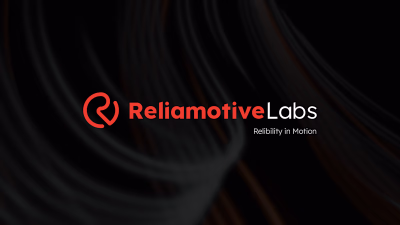
⚡Reliamotive Labs | Clean & Professional Brand Identity
0
37
Message
0
Gobinath Ravichandran
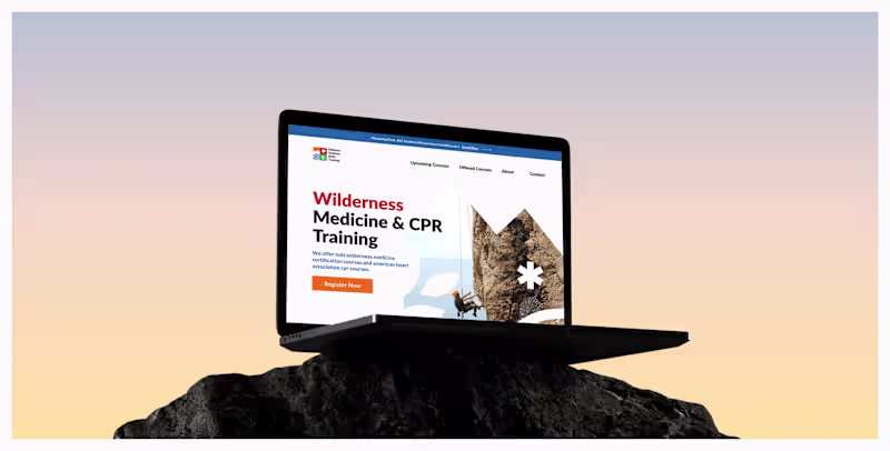
Midwest Outdoor Skill Training
0
181
Message
0
Riya R
Svarnim | Annual Newsletter + Deck
0
29
Message
0
Brownsofts LLC
Website Development for Xpert Development
0
16
Message
0
Santhoshkumar Sarangapani
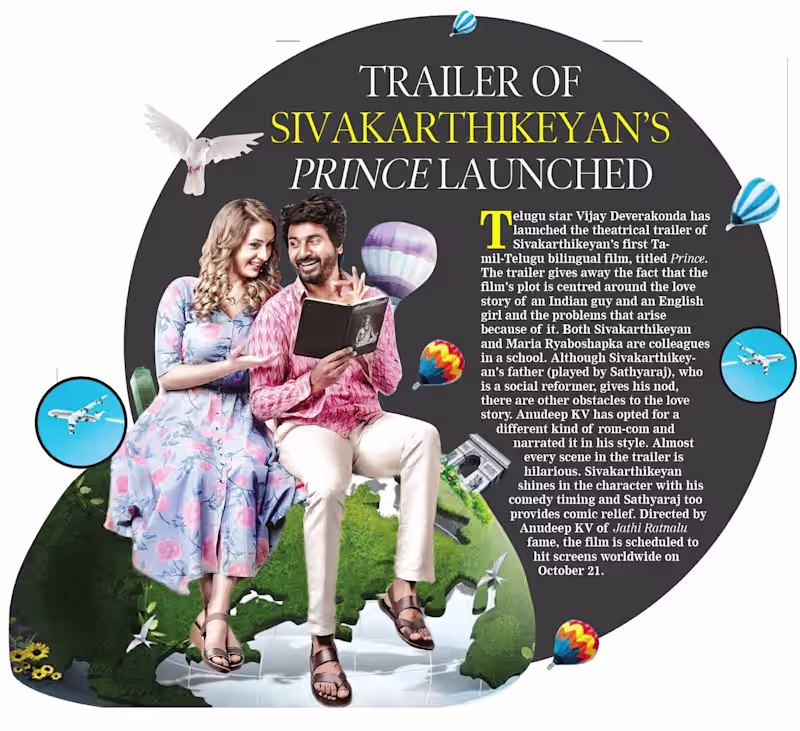
Movie Trailer Launched for Newspaper Design
0
31
Message
1
Springo DesignStudio
The Idli Company
1
2
Message
0
Dhruvi Mehta
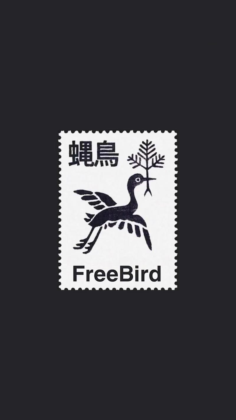
Exploring typography through stamp design. Letting the letterforms do the talking
0
50
Message
0
Arul Raj
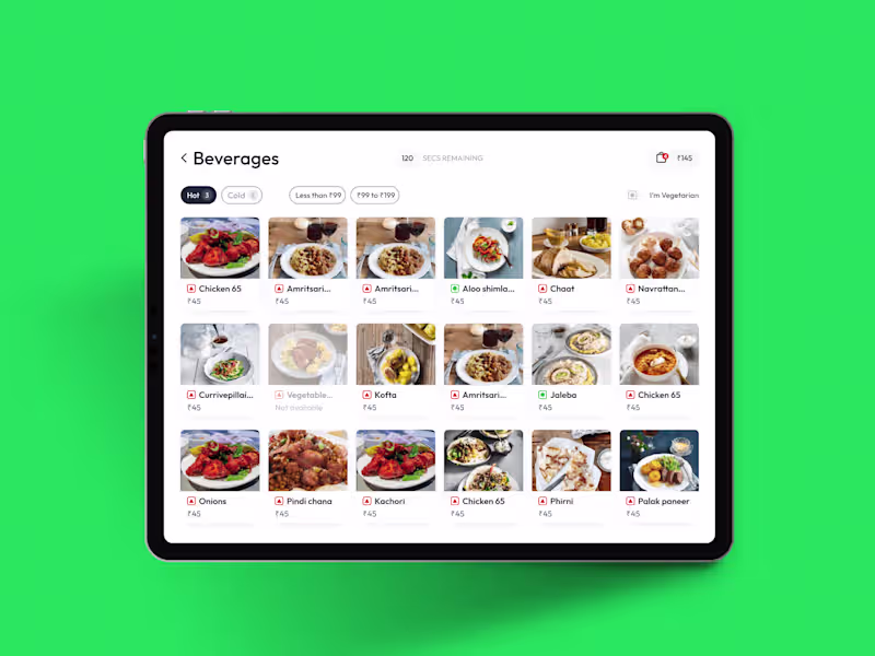
Seamless Food order POS app experience
0
5
Message
0
Interaktive XR Solutions
Graphic Designing for Product Listings - Work item 3
0
5
Message
0
ZeroSoft Technologies
pro
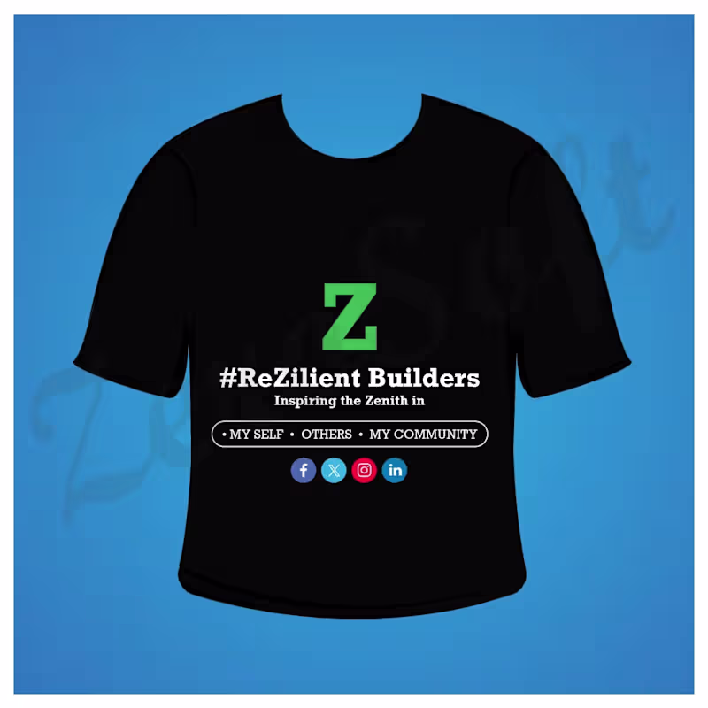
T-Shirt Design
0
24
Message
1
R.M.N .
Creative Modern Logo Design Description: Designed a unique and professional logo with a modern 3D style, clean typography, and premium visual elements. The logo was created to build a strong brand identity and provide a memorable, high-quality look suitable for digital platforms, businesses, and personal brands.
1
48
Explore projects