The network for creativity
Join 1.25M professional creatives like you
Connect with clients, get discovered, and run your business 100% commission-free
Creatives on Contra have earned over $150M and we are just getting started
Back to feedPost

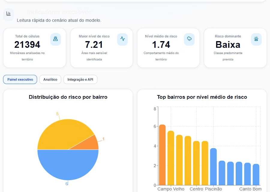
GeoAlerta AI is an intelligent geospatial analytics platform designed to predict and mitigate climate-related risks, especially urban flooding in emerging cities. By integrating satellite data, terrain elevation models, rainfall patterns, and machine learning algorithms, the system generates real-time risk scores and interactive maps to support decision-making.


The network for creativity
Join 1.25M professional creatives like you
Connect with clients, get discovered, and run your business 100% commission-free
Creatives on Contra have earned over $150M and we are just getting started





Related posts

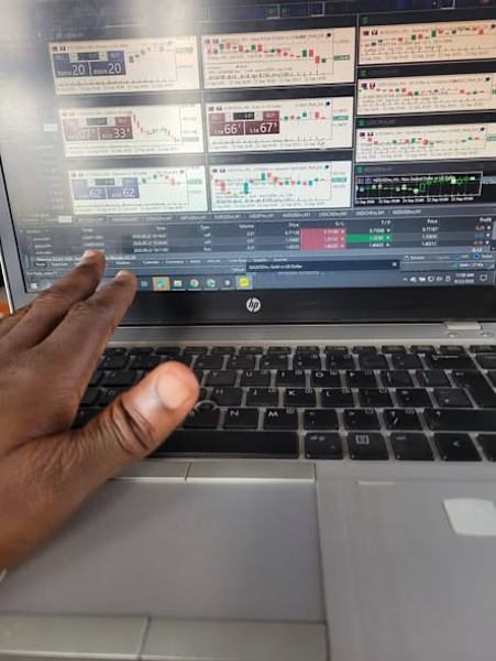
Another late night. Building a quant trading system an agentic model where different AI agents handle research, testing and risk, and none of them is allowed to place a trade on its own.
The hardest part so far? Being honest when the results say "not yet." Most strategies I've tested failed once real costs were included. That's exactly what testing is for.
Keeping The Psychology of Money and The Diary of a CEO close while I figure it out. What are you reading these days?


Curious how you’ve separated the agents from execution. When you say none can place a trade on its own, is that enforced through a separate execution service with fixed risk checks, human approval or both? I’d love to understand where the agent's decision-making ends and the hard rules take over.

Hi! I’m a college student and an aspiring AI/ML engineer who loves building things with technology and turning ideas into real projects.
I built the Arshi Masale website for a local spice business from Sindhudurg, Maharashtra. This project was special to me because it showed me that even as a student, I can use what I’m learning to create something useful for a real business.
I focused on making it modern, simple, mobile-friendly, and ready for future e-commerce features. This is one of the projects that motivates me to keep learning, building, and eventually turn my passion for AI and technology into a career.



DO SUPPORT GUYS 😊

AI Support Platform
A landing page concept for an AI-powered customer support platform.
The goal was to create a SaaS experience that feels simple, clear, and product-focused without falling into the usual overly technical AI aesthetic.
I focused on:
Clear product storytelling
Strong visual hierarchy
Minimal, modern UI
Product-focused sections
Clean interactions and spacing
A calm visual language that keeps the product at the center
Designed to make AI support feel less complicated and more approachable.


Outstanding work