


Introducing GeoAlerta AI — an AI-powered climate intelligence platform built to help emerging cities predict and respond to floods, heavy rainfall, and environmental risks in real time.
GeoAlerta AI combines machine learning, geospatial analytics, terrain intelligence, and weather forecasting APIs to transform environmental data into actionable public insights.
Key capabilities include:
• Flood risk prediction
• Real-time rainfall monitoring
• Geospatial vulnerability mapping
• AI-driven environmental scoring
• Interactive smart-city dashboards
• Decision support for public managers and civil defense teams
Our mission is to democratize climate intelligence and bring advanced AI capabilities to vulnerable regions that are often underserved by traditional monitoring systems.
Built with:
Python • FastAPI • Machine Learning • GeoPandas • OpenWeather API • Interactive AI Dashboards
GeoAlerta AI represents the intersection of Artificial Intelligence, ClimateTech, and Public Impact.
#AI #ClimateTech #MachineLearning #SmartCities #GeoAI #DataScience #Python #Innovation
1
2
163
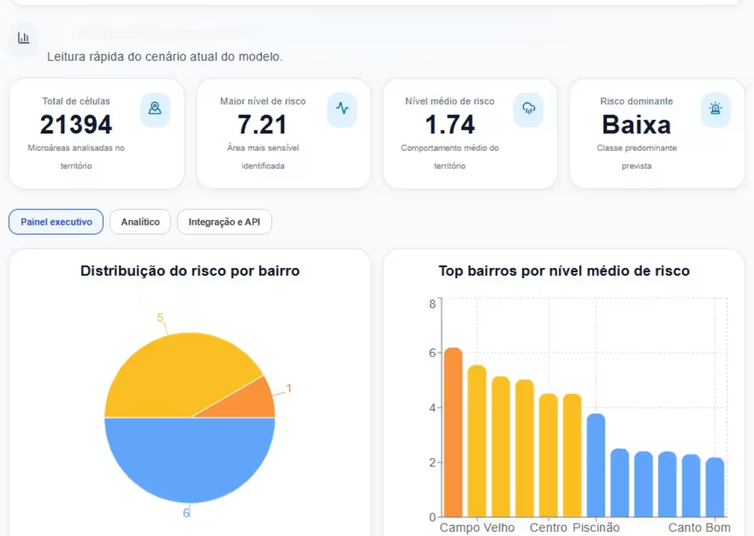
App - GeoAlerta
0
64
At Aggill Intelligence�, we are developing AI-driven solutions focused on public impact, territorial intelligence and climate resilience.
One of our flagship projects is:
🌎 GeoAlerta AI
A climate intelligence platform designed for emerging cities, combining:
• Geospatial analytics
• Flood-risk prediction
• Rainfall monitoring
• Machine learning
• Territorial dashboards
• Real-time decision support
Our mission is simple:
Transform data into decisions that protect lives.
Currently exploring partnerships and global opportunities involving:
Climate AI
Smart Cities
Public Sector Innovation
Geospatial Intelligence
Predictive Analytics
#AI #DataScience #ClimateTech #GeoAI #MachineLearning #SmartCities #Python #TerritorialIntelligence #PublicImpact #IntelPartner #IBMPartner
0
77
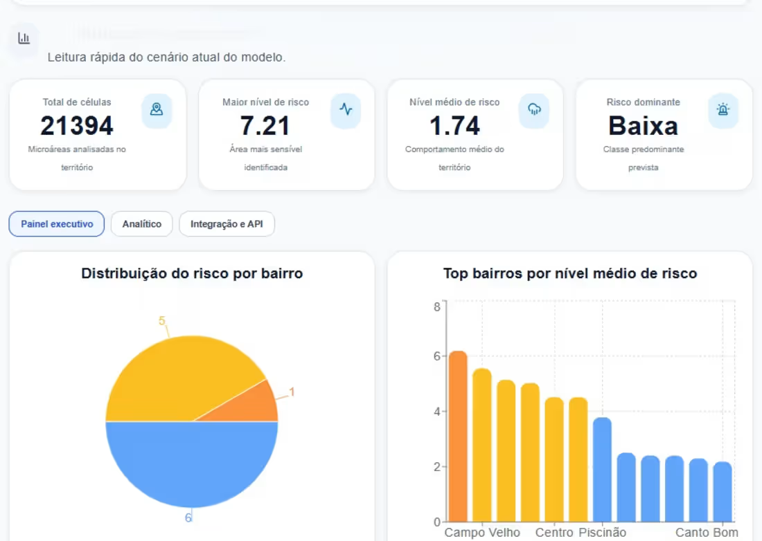
GeoAlerta AI is an intelligent geospatial analytics platform designed to predict and mitigate climate-related risks, especially urban flooding in emerging cities. By integrating satellite data, terrain elevation models, rainfall patterns, and machine learning algorithms, the system generates real-time risk scores and interactive maps to support decision-making.
0
90