
Victor Quintero Esquivel
Python, Web Design, AI Workflow, Data Analysis, Scientist
New to Contra
Victor is ready for their next project!
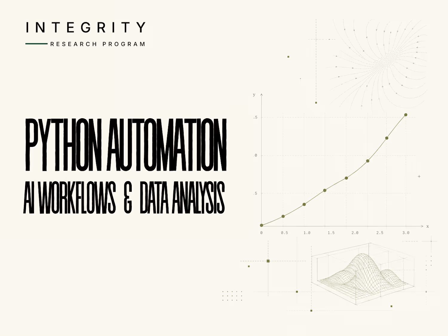
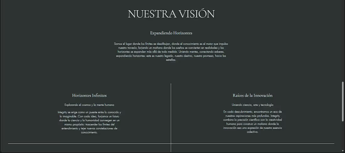
Designed and developed the website and visual identity for Integrity Research Program, an independent technical services initiative focused on applied research, data analysis, scientific computing, prototyping, and technical consulting.
The objective was to translate complex technical services into a clear, credible, and structured digital presence. The site organizes each service around its scope, methodology, expected deliverables, and estimated duration, allowing prospective clients to understand what can be delivered before initiating a project.
I developed the visual system, information architecture, service positioning, responsive layouts, technical diagrams, and page structure. The design combines an editorial research aesthetic with clear conversion paths for technical inquiries.
0
23
School Yearbook Image Processing
Developed a Python-based image-processing workflow for Preparatoria José Sixto Verduzco’s yearbook production process.
The tool automated repetitive photo-preparation tasks including cropping, orientation correction, white-balance adjustment, and standardized output preparation.
It was used during the school yearbook workflow from 2023 through the 2025 graduating class.
My role covered workflow design, implementation, testing, and iterative adjustment based on the production requirements.
0
29
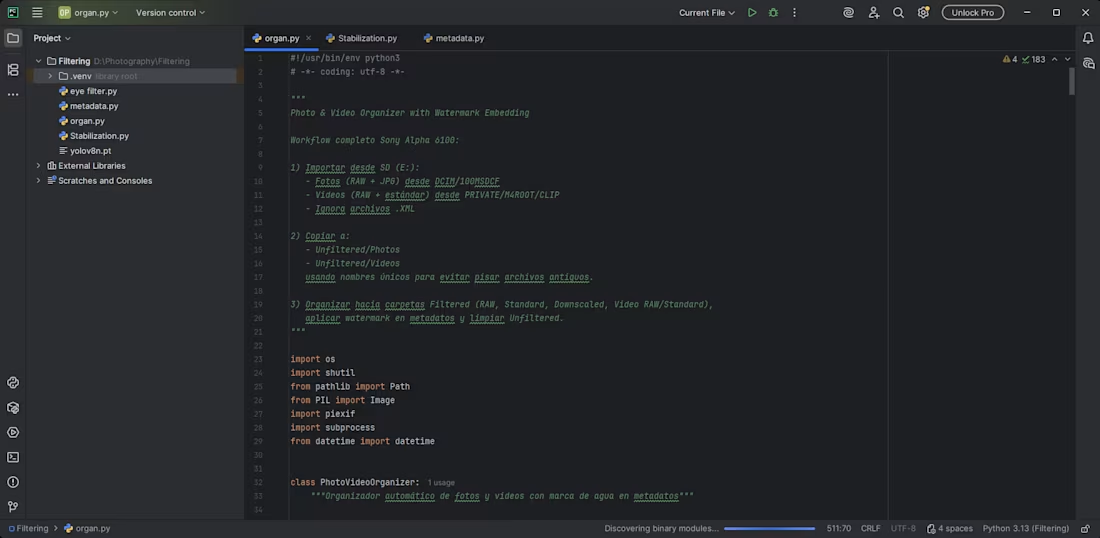
Photography Asset Management Tool
Built a Python workflow to streamline photography ingest, organization, and pre-editing preparation.
The system classifies photo and video files, organizes media into structured folders, generates downscaled versions for transfer and review, detects potentially blurred images, and applies automated white-balance correction.
The project was created for personal photography workflows and reduced repetitive manual work between camera import, image review, editing, and file transfer.
It demonstrates batch processing, media classification, image-quality filtering, file-system automation, and image normalization.
1
43
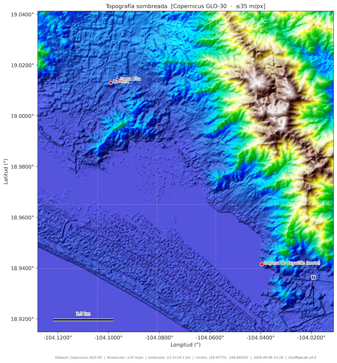
Terrain Intelligence & Mapping Tool (GeoMap v4)
Built a Python tool for collecting and analyzing terrain characteristics across user-defined geographic points.
The system integrates external data APIs to retrieve elevation, slope, terrain roughness, and related surface attributes, then transforms those inputs into structured datasets and map-ready outputs.
The project was created as an independent exploration of geospatial analysis, terrain modeling, and automated mapping workflows.
It demonstrates API integration, geospatial data processing, coordinate-based analysis, and technical visualization.
1
47