
Slava Stecenko
3D & Technical Illustrator | 3D Modeling Expert


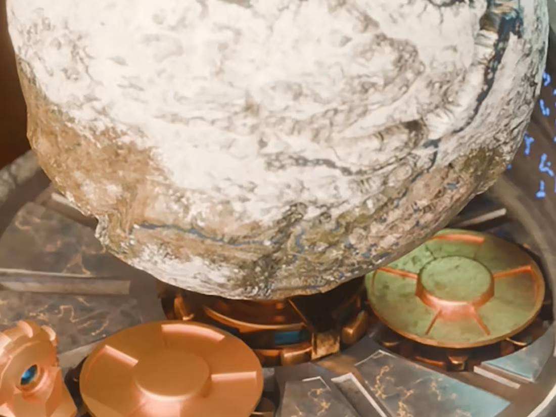
Mechanical Skyrim Storage Globe — 3D Print & Video Edit
1
1
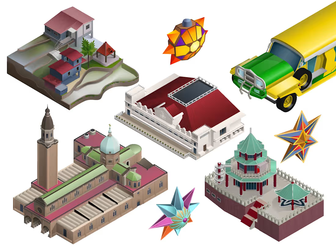
3D Isometric Game Assets | Architecture, Vehicles & Props Pack Philippines
A comprehensive isometric asset pack featuring custom vehicles, detailed architectural landmarks, environmental objects, and cultural props. Every element is crafted with clean vector paths, consistent isometric lighting, and precise geometry.
This showcase demonstrates a complete visual ecosystem designed in a unified style, making it easy to scale and integrate into a single project.
Perfect for:
• Casual and strategy mobile game developers (building games, city-builders, tycoon games).
• Digital media publishers and travel/educational platforms looking for custom map illustrations.
• Explainer video animators who need ready-to-use vector scenes with structured layers.
Technical Specs:
• 100% Vector Quality (Adobe Illustrator source files).
• Organized, layered files ready for seamless animation setup or web integration.
Available for custom asset pack development, technical map illustration, and vector prop design.
0
119
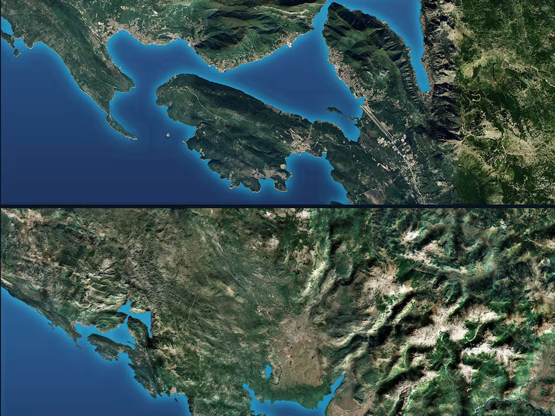
High-fidelity 3D terrain visualization and regional GIS mapping of Montenegro.
This project demonstrates advanced spatial design and processing of satellite imagery combined with digital elevation models (DEM). Focused on strict topographical accuracy, precise coastal outline of the Adriatic Sea, and realistic mountain relief modeling built for large-scale infrastructure masterplanning and regional asset presentations.
1
1
238
3D Terrain & Relief Mapping — Germany Regional Topography
Challenge:
Develop a high-fidelity, geographically accurate series of 3D topographic terrain models for the federal states of Germany. The primary goal was to transform complex GIS elevation data into premium visual assets optimized for infrastructure planning and executive corporate presentations.
Process & Execution:
1) Processing and texturing real-world GIS elevation datasets and satellite imagery.
2) High-resolution 3D displacement modeling to capture intricate land relief, mountain ranges, and vegetation structures.
3) Optimizing dense landscape geometry for clean presentation, digital architectural integration, and multi-scale usability.
Results:
Premium 3D geographic assets and high-end technical graphics tailored for logistics hubs, infrastructure developers, and corporate spatial analytics platforms.
2
0
312