
Sadaqat Ali
Where geography meets design excellence
New to Contra
Sadaqat is ready for their next project!

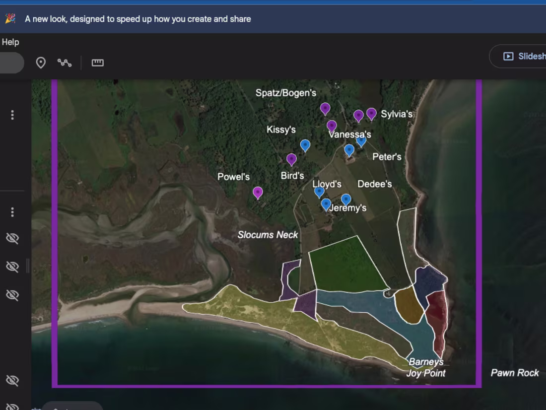
Designed and developed an interactive web visualization application featuring dynamic maps, data dashboards, and user-friendly analytics. The platform enables efficient exploration of complex data through responsive and visually engaging interfaces.
0
34
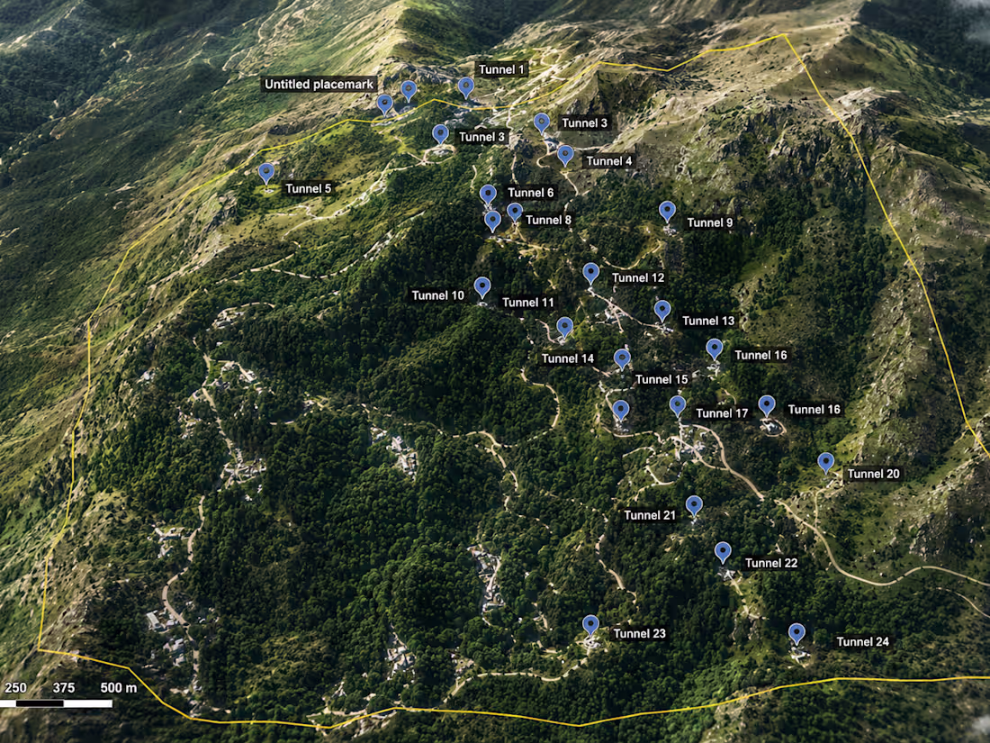
Created a 3D urban parking facility model for a city development project, showcasing efficient parking layouts, traffic circulation, and public accessibility. The visualization supported urban planning, infrastructure design, and decision-making processes.
0
36
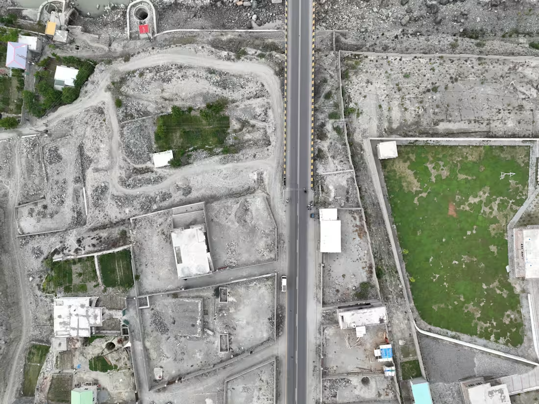
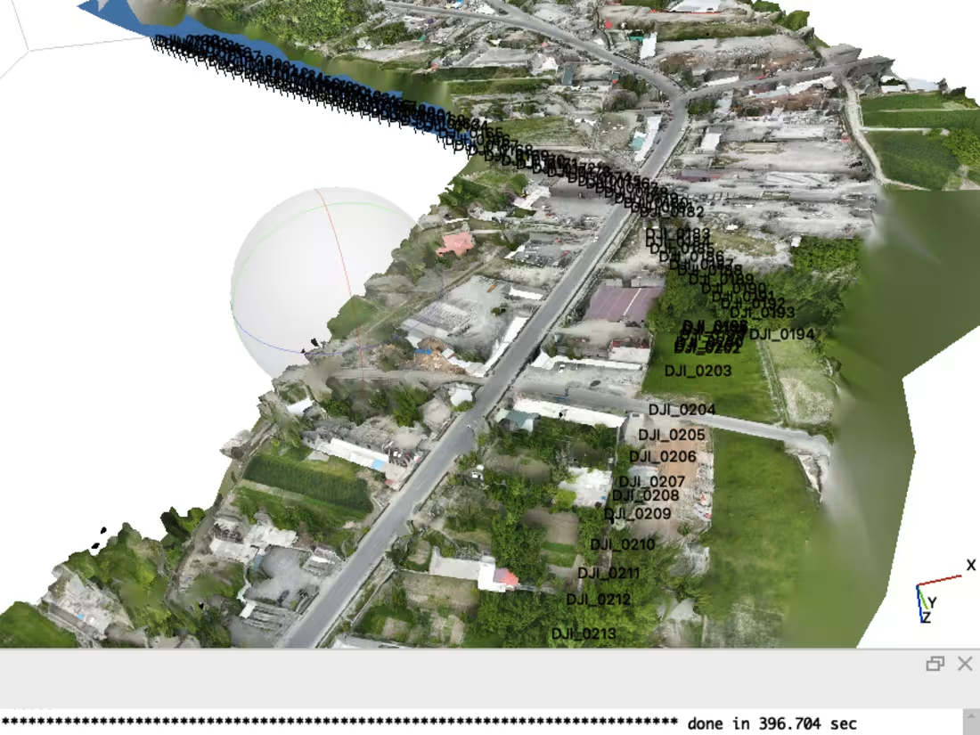
Developed a high-resolution 3D road corridor model using GIS and terrain data to visualize road alignment, elevation profiles, and surrounding landscapes. The project delivered realistic engineering-grade visualizations for planning, stakeholder presentations, and project documentation.
0
41
Geospatial Analyst & 3D Modeling Specialist for Infrastructure, Mining & Urban Development
0
50