
Custom interactive digital map design – (BASIC) – MapboxCeri Lewis
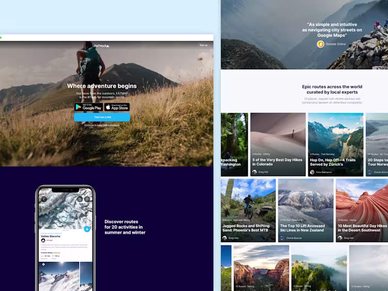
I craft stunning maps using Mapbox Studio (although I’m happy to discuss other platform). I offer a deep-dive consultation to understand your goals and your data. I can even support in creation of your data if needed. With complete customization of the map's style and visual language and clear data hierarchy – from 2D/3D elements to custom icons. The final delivery includes editable map files, assets and options for both basic website embedding and full developer access.
The MVP package covers everything needed for a map and data visualisation that can be explored (pan, tilt and zoom anywhere in the world) without any feature interactions (e.g. popups and data layer toggles) - check out the PRO package where design for these elements and map behaviours is included.
What's included
Deep dive
We start with a questionnaire (crafted from years of experience) and then a call with you to fully understand your vision and goals for the map and the data you wish to visualise.
Map design
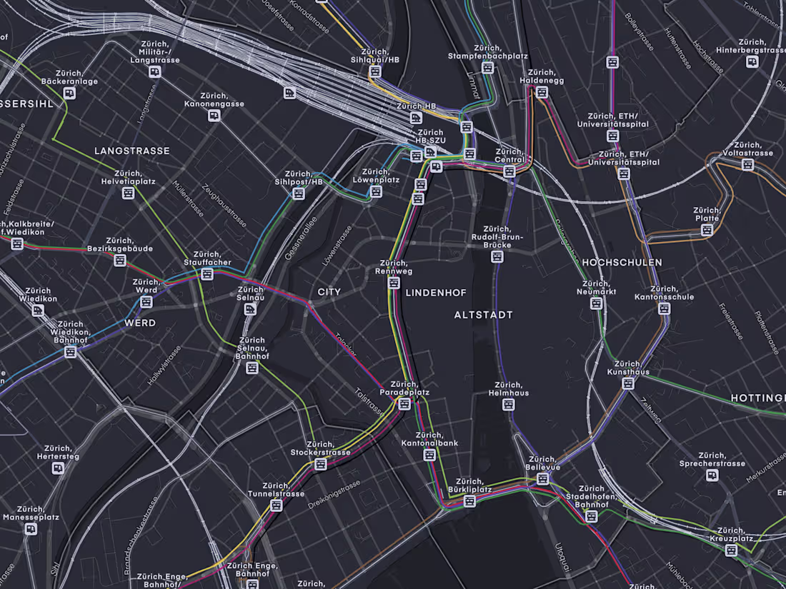
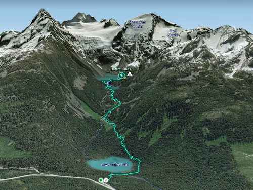
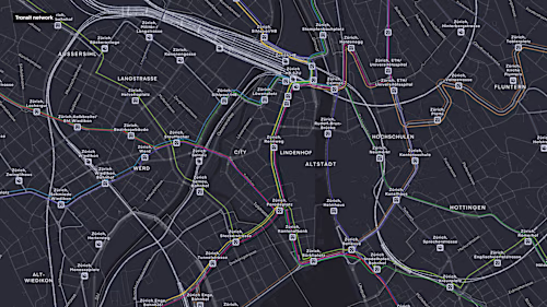
I’ll work with your data or mapbox's curated location data to create your custom map style and visual language. This could be 2D and or 3D and include points of interest by categories, buildings, road networks, transit, terrain, water and natural features, sky, atmosphere and any custom data you want to showcase. Your custom data visualisation could be symbols, or displayed as a heatmap, data driven polygons, lines or circles, or 3D extrusions.
Information hierarchy
I’ll showcase your data at the relevant zoom levels ensuring we have the optimal hierarchy of map information for your use case.
Asset creation
A basic set of fully custom assets: Up to 3 patterns + Up to 5 symbols, labels or placemarker styles + Up to 10 icon types. • Plus limited customisation of an extensive but standard location based iconset.
Brand & product alignment & accessibility
I’ll ensure any UI elements and UX behaviours align with your current product or brand and meet accessibility considerations according to WCAG guidelines.
Design system & map legend
A guide which brings together all of the above. How to use your map language consistently going forward. This set up could be a simple pdf or slide and if needed we could customize this to work as a piece of UI on your website connected to the map.
Delivery
Mapbox style in json format. • Packaged assets and fonts. • Fully editable mapbox style. • Share & develop options for both a basic website embed iframe and full resources for developers. • You can also export high resolution images of your style for print.
FAQs
Contact for pricing
Tags
Adobe Illustrator
Figma
Data Visualizer
Icon Systems Designer
Web Designer
Service provided by
Ceri Lewis Squamish, Canada
- 5
- Followers
Custom interactive digital map design – (BASIC) – MapboxCeri Lewis
Contact for pricing
Tags
Adobe Illustrator
Figma
Data Visualizer
Icon Systems Designer
Web Designer
I craft stunning maps using Mapbox Studio (although I’m happy to discuss other platform). I offer a deep-dive consultation to understand your goals and your data. I can even support in creation of your data if needed. With complete customization of the map's style and visual language and clear data hierarchy – from 2D/3D elements to custom icons. The final delivery includes editable map files, assets and options for both basic website embedding and full developer access.
The MVP package covers everything needed for a map and data visualisation that can be explored (pan, tilt and zoom anywhere in the world) without any feature interactions (e.g. popups and data layer toggles) - check out the PRO package where design for these elements and map behaviours is included.
What's included
Deep dive
We start with a questionnaire (crafted from years of experience) and then a call with you to fully understand your vision and goals for the map and the data you wish to visualise.
Map design
I’ll work with your data or mapbox's curated location data to create your custom map style and visual language. This could be 2D and or 3D and include points of interest by categories, buildings, road networks, transit, terrain, water and natural features, sky, atmosphere and any custom data you want to showcase. Your custom data visualisation could be symbols, or displayed as a heatmap, data driven polygons, lines or circles, or 3D extrusions.
Information hierarchy
I’ll showcase your data at the relevant zoom levels ensuring we have the optimal hierarchy of map information for your use case.
Asset creation
A basic set of fully custom assets: Up to 3 patterns + Up to 5 symbols, labels or placemarker styles + Up to 10 icon types. • Plus limited customisation of an extensive but standard location based iconset.
Brand & product alignment & accessibility
I’ll ensure any UI elements and UX behaviours align with your current product or brand and meet accessibility considerations according to WCAG guidelines.
Design system & map legend
A guide which brings together all of the above. How to use your map language consistently going forward. This set up could be a simple pdf or slide and if needed we could customize this to work as a piece of UI on your website connected to the map.
Delivery
Mapbox style in json format. • Packaged assets and fonts. • Fully editable mapbox style. • Share & develop options for both a basic website embed iframe and full resources for developers. • You can also export high resolution images of your style for print.
FAQs
Contact for pricing