Raphlawren/Minneapolis_Crime_Data
Like this project
Posted Aug 29, 2024
Visualizing the crime rate in Minnesota from 2019-2024
Likes
0
Views
2
Minneapolis Crime Data Visualization For Year 2019-2024
The dataset was gotten directly from Minneapolis government website. which can be accessed here.
If the maps is not showing in the file above, you can view it here
Minneapolis is one of the cities in Minnesota with high crime rates, so I visualized Minneapolis' crime dataset from year 2019-2024, which I got from Minneapolis government's open data website; there were 284416 crimes recorded.
Here I visualized the first 1000 crime scenes of the dataset on a leaflet map with python.
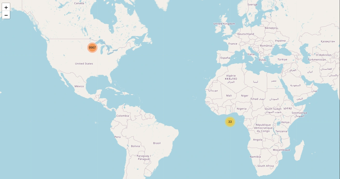
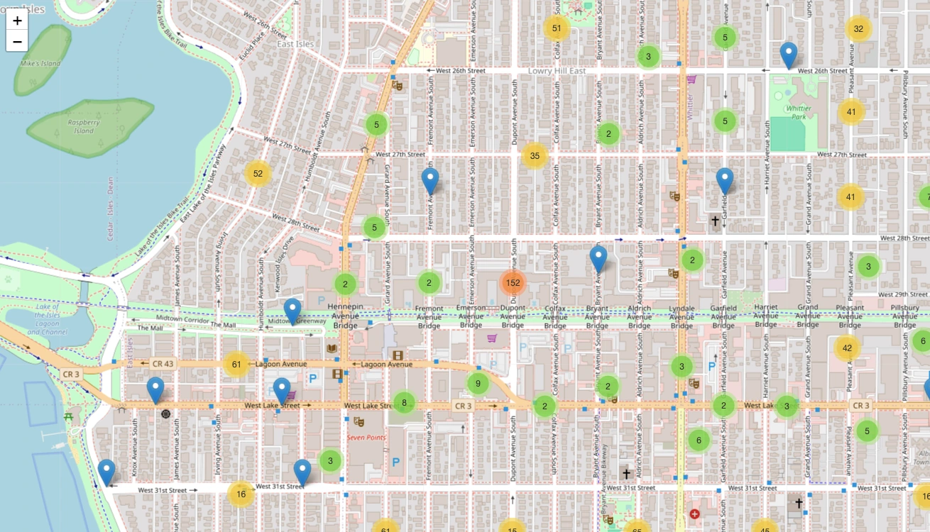
When we zoom in, we get more detailed location information on where the crimes occurred.
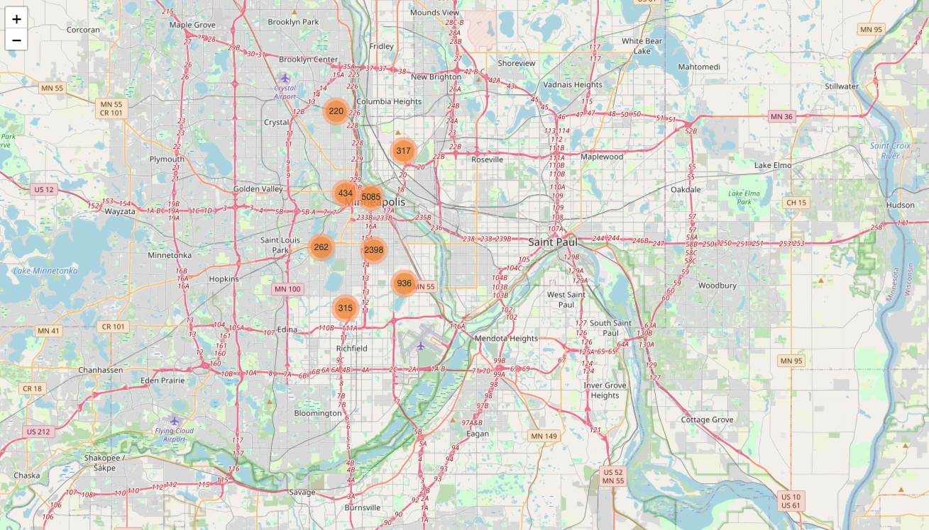
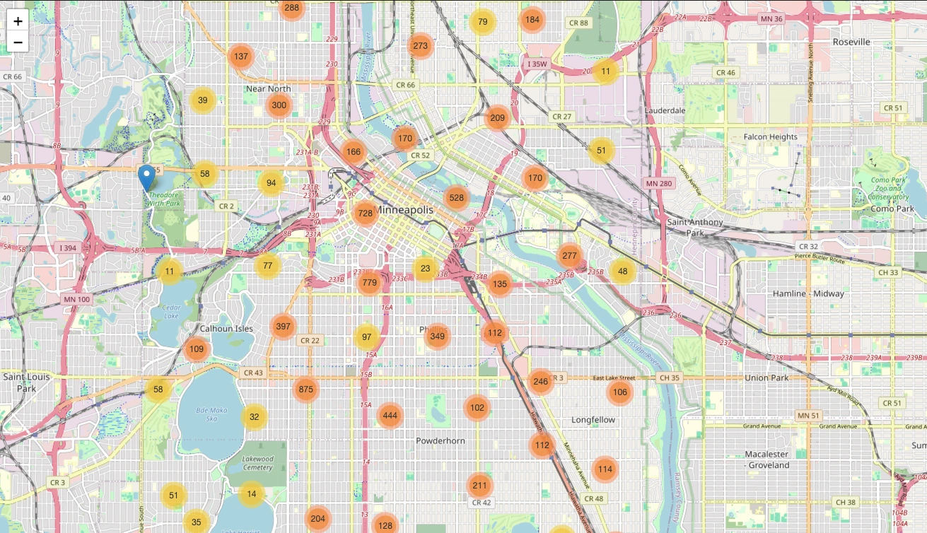
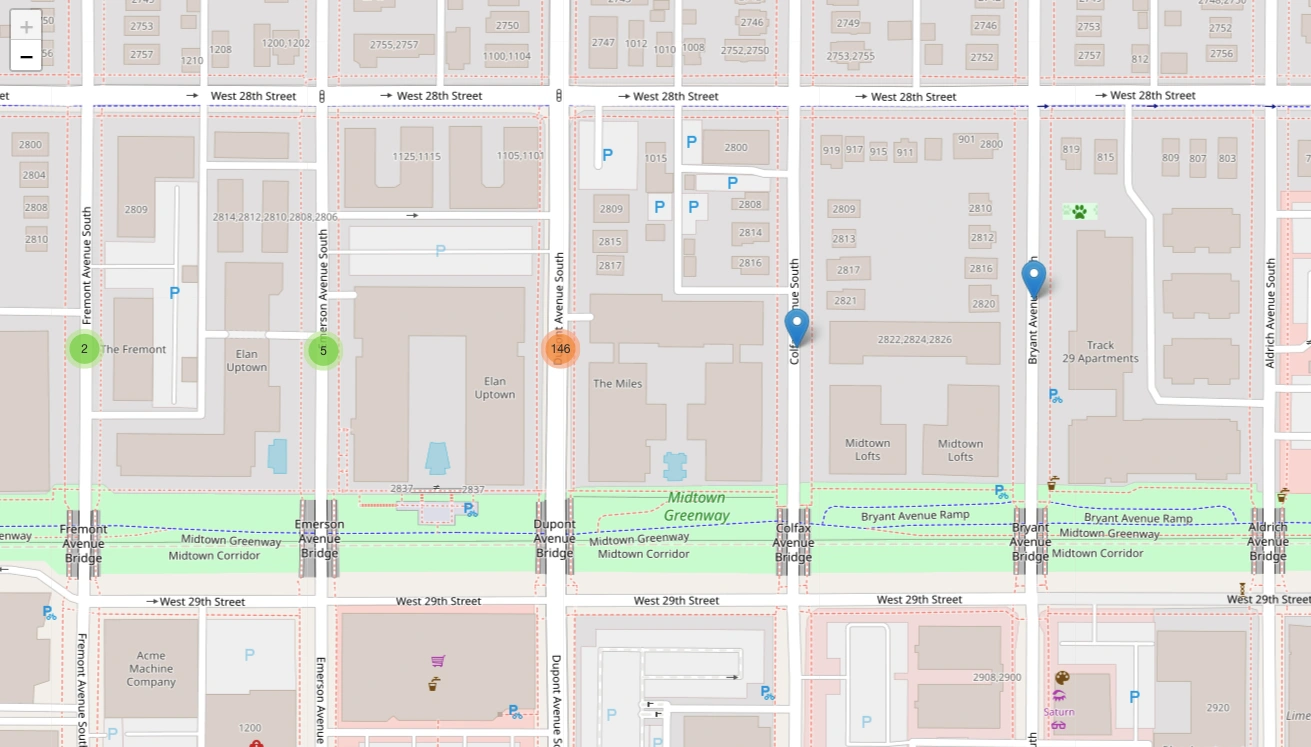
We can see in the image below that 146 crimes happened on Dupont Avenue South Street
When we drill in further and click on the arrow, we get the details of the offences committed.
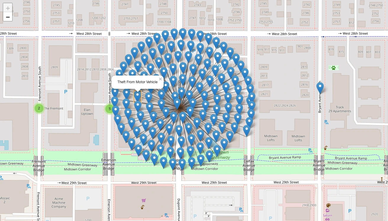
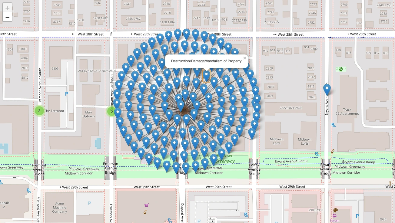
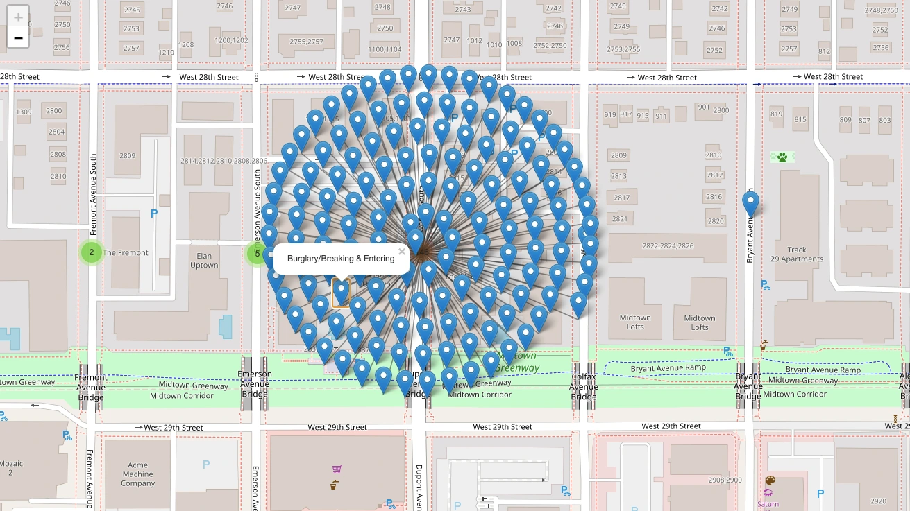
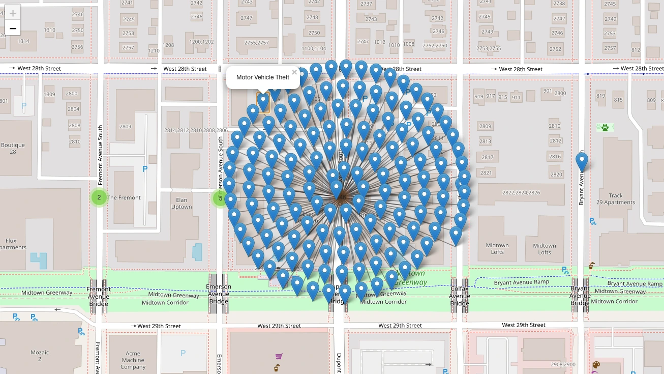
Most of the crimes was Theft from Motor Vehicle, Part of Motor Vehicle theft, Destruction of property, Motor Vehicle Theft.
Deductions:
The data suggests that the city or state could invest more resources in securing Dupont Avenue South community due to the high rate of theft in the area.
Security firms could benefit from advertising their security services at a reduced cost in the area. Data infers that Dupont Avenue South is not an appropriate environment for raising kids or a family setting.
The government should implement stricter penalties for crime like Vehicle Theft, Burglary.
There should be more security cameras installed, including the parking lot.
The government should increase the patrol of the police in areas with high risk of crime.
Residents in the area should park their vehicle in a well secured area and should install anti theft security in the cars, it is advisable for vehicles should have hidden tracker in them.
valuables should not be left in plain sight in the car.


