Water Infrastructure & Spatial Resource

Slava Stecenko

Water Infrastructure & Spatial Resource Mapping
3D Infrastructure Visualizer / Spatial Designer
Overview:
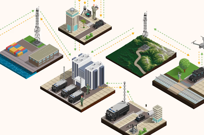
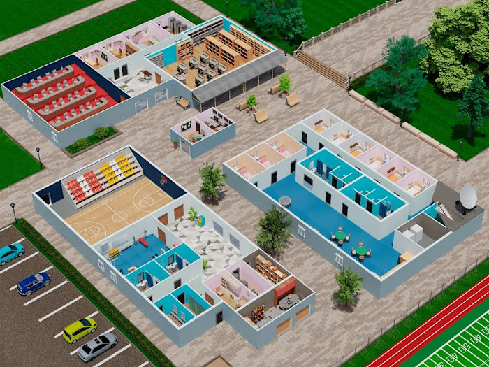
Comprehensive, enterprise-grade isometric vector asset library and spatial infographic mapping the full lifecycle of industrial, agricultural, and urban water management infrastructure. Unified 14 distinct engineering sectors into a clear, high-fidelity presentation framework.
Key Deliverables:
1) High-fidelity vector visualizations of power generation plants, heavy wastewater treatment facilities, and agricultural matrices.
2) Formulated a dynamic multi-zone terrain overlay, from mountain reservoirs to coastal filtration hubs.
3) Standardized corporate color system optimized for environmental SaaS software and regional planning dashboards.
Like this project
Posted Oct 12, 2026
Water Infrastructure & Spatial Resource Mapping 3D Infrastructure Visualizer / Spatial Designer Overview: Comprehensive, enterprise-grade isometric vector as...