JamBoy: GPS-Denied Navigation for Attritable Drones

Kyle Bean


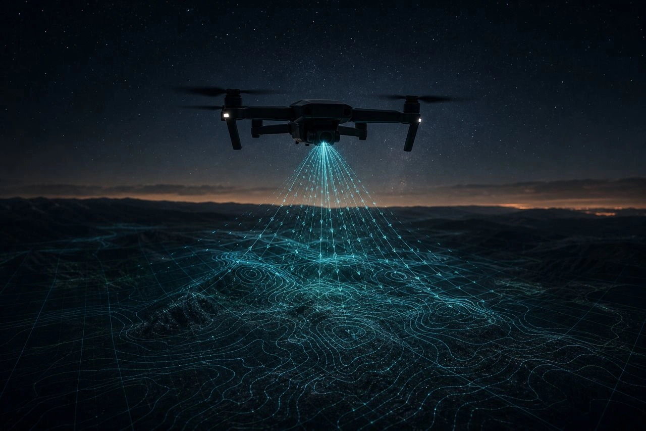
JamBoy is a research-grade navigation layer for GPS-denied flight. Downward camera + pre-loaded GeoTIFF maps + IMU rates + barometric altitude in, local position and velocity out. No GPS, no targeting, no kinetic autonomy.
What it does
Given a downward camera, pre-loaded GeoTIFF maps, IMU rates, and barometer altitude, JamBoy estimates local position and velocity without GPS:
Lucas-Kanade optical flow with gyro de-rotation for ground velocity
ORB (optional SIFT) + RANSAC homography against tiled maps for absolute geo fixes
6-state EKF fusing it all with barometric altitude
State machine: Cruise, DeadReckon, Terminal (stub), Abort
MAVLink out via VISION_POSITION_ESTIMATE (preferred) or reposition fallback
Stack
Built in Python with an optional CUDA path. Global shutter strongly preferred; rolling shutter supported with fallback modes.
A ~$250 COTS prototype BOM is documented (Pi 5 + IMX296 + Pixhawk), plus drop-in hardware deploy checklists for any flight controller and camera.
Honesty label
JamBoy is validated against synthetic data in simulation. It is not flight-certified, and the docs say so. It is a navigation layer, not a targeting or weapons system. Systems built for scrutiny beat systems built for press.
Like this project