DeKaTaRu Mobile Application Development

Sahid Anwar


DeKaTaRu
Spatial Planning Compliance Detection
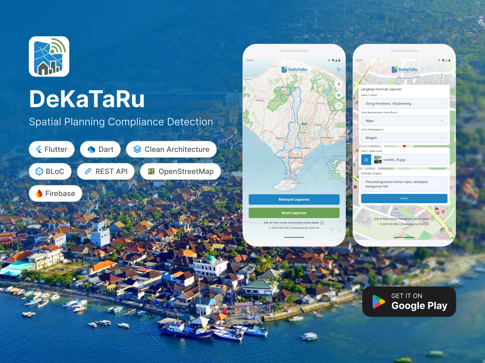
DeKaTaRu (Deteksi Kepatuhan Tata Ruang) is a location-based spatial planning violation reporting application that makes it easier for communities and village officials to record, monitor, and follow up on reports quickly, transparently, and accountably.
My Role Includes
Develop the DeKaTaRu mobile multi-role application for reporters and village officials.
Integration of map services for accurate location pinpointing.
Successfully released the application on the Play Store.
Tech Stacks, Tools, and Methods
Flutter, Dart, Clean Architecture, BLoC, Android, REST API, OpenStreetMap, Firebase Cloud Messaging (FCM)
Tech Challenges
Preference for the use of free map services and map integration with regional zone category data.
Solutions
Using Open Street Map (OSM) as an alternative to open source maps and utilizing the webview of the map website from the local spatial planning map service.
Published App
Like this project
Posted Aug 8, 2026
Developed DeKaTaRu app for reporting spatial planning violations.
Likes
0
Views
1
Timeline
Oct 1, 2025 - Jan 31, 2026