Geomorphological Mapping Project | GIS

Andi Ramdani


Geomorphological Mapping Project | GIS Analysis
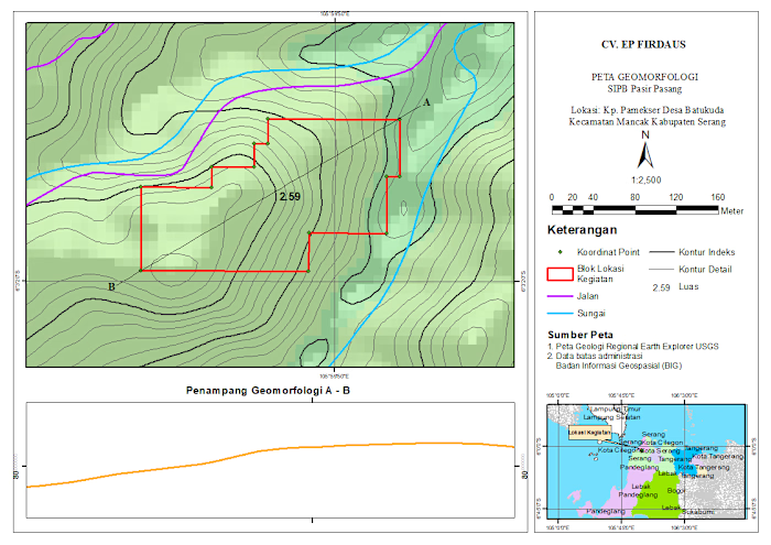
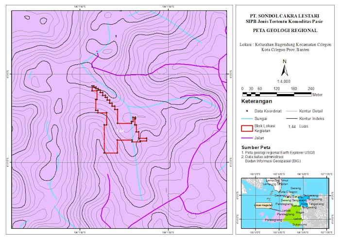
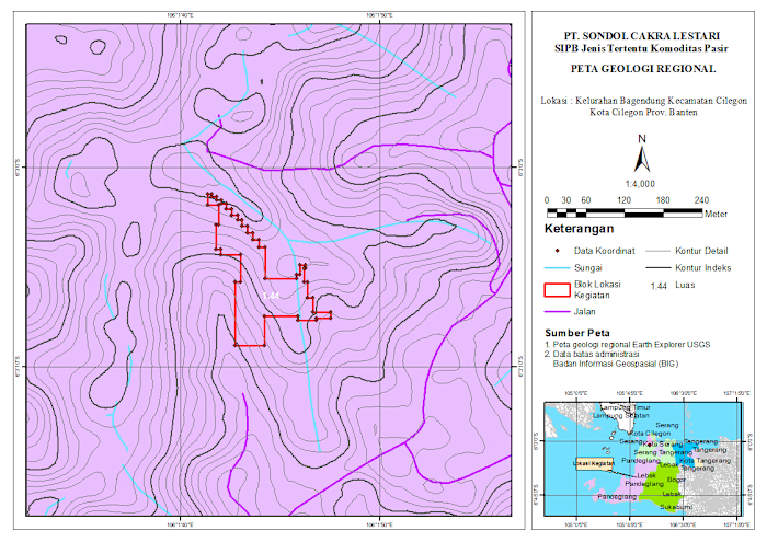
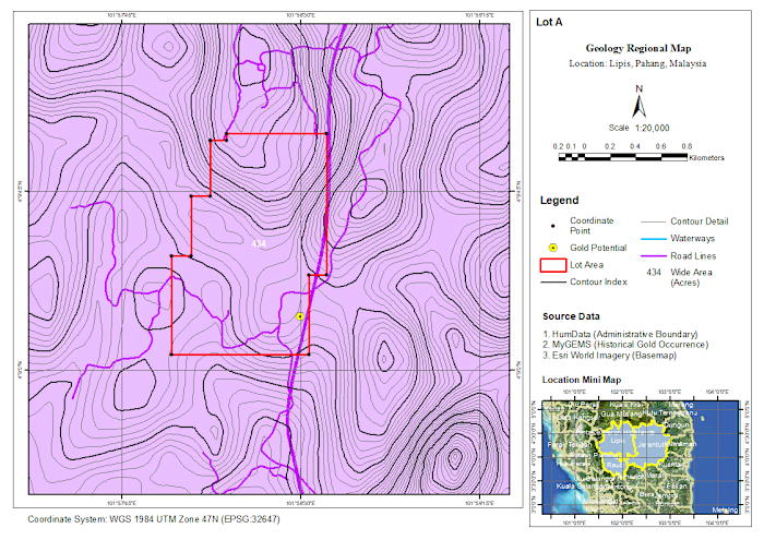
Just wrapped up a geomorphological mapping project for a site located in Pasir Gadung Village, Pandeglang, Banten. This work focuses on identifying landform characteristics and terrain variation to support better spatial understanding and decision-making.
In this map, I combined elevation data, contour analysis, and spatial interpretation to classify geomorphological units—highlighting areas dominated by undulating hill formations. The red polygons represent the project activity zones, supported by coordinate points collected from the field.
I also included a cross-section (A–B) to visualize terrain changes more clearly, giving a better perspective of slope variation and landform structure across the site.
Tools & Approach:
- GIS processing and spatial analysis
- Contour and elevation modeling
- Geomorphological interpretation
- Map layout and visualization
This kind of analysis is essential for projects related to land development, environmental assessment, and infrastructure planning.
Always open to feedback and collaboration—let’s connect 🚀
Like this project
Posted Jun 29, 2026
Geomorphological Mapping Project | GIS Analysis Just wrapped up a geomorphological mapping project for a site located in Pasir Gadung Village, Pandeglang, Ba...
Likes
0
Views
7