Disaster Information Management System (DIMS)
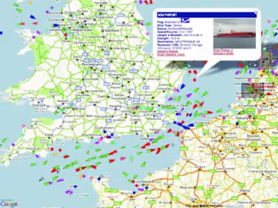
Real time application for anticipation of natural disasters such as floods, landslides, wind storms and earthquakes, using online weather data from Indonesian national weather agencies and comparison with other commercial weather data providers.
Real time application to anticipate landslides and earthquakes, using several physical ground motion sensors that have been planted in disaster-prone areas
Provide early warning of possible natural disasters.
Provide documents for standard operating procedures for disaster emergencies.
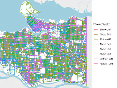
Analyze alternative evacuation routes and navigation aid for fast respond rescue team.
Like this project
Posted Oct 30, 2024
Monitoring, anticipate and analyze the possibility of natural disasters.


